Shadow Lakes Trail
- 0.4 mi
- round trip
- 258 ft
- climb
- 9,748 ft
- high point
- Out and back
- route
Is Shadow Lakes Trail open right now?
Alert in the area
The Forest Service lists an alert for Salmon-Challis National Forest.
Stoddard Bridge Construction Closure
Agency alert covering Salmon-Challis National Forest · Order 0413-07-17 · USFS · Salmon-Challis National Forest
As of · Source: USFS · Salmon-Challis National Forest. Agencies don't list every closure — check before you go.
Shadow Lakes Trail is a short, easy hike of about 0.8 miles round trip in Idaho's Salmon-Challis National Forest, within the Lost River Ranger District. It is managed by the Forest Service and sits at about 9,700 feet, with a high point of 9,748 feet and a low of 9,496 feet. The trail is a simple out-and-back. The steepest stretch comes about a quarter of the way in, with a 16% grade. The total climb is about 258 feet one way, so the round trip is roughly 500 feet of elevation gain and loss. Several other destinations lie within a few miles. Long Lost is about 2 miles away, and Swauger Lake is about 2.7 miles away. For an overnight stay, Loristica Group Campground is about 4.4 miles off, and climbers can head to Main Wall, The, about 4.6 miles away.
Local outfitters
- The Sawmill Station48 mi away
Not on Roamze yet. Their page has how to reach them.
- Long LostHiking2 mi
- Swauger LakeHiking2.7 mi
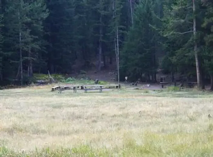 Loristica Group CampgroundCampingPhoto: Recreation.gov (RIDB) / public domain4.4 mi
- The Right FlankRock climbing4.6 mi
- The Main WallRock climbing4.6 mi
- Pass Creek Narrows Camping Area & Picnic SiteCamping8.2 mi
- Pass CreekCanoeing9.1 mi
- Big Lost River Access TrailRiver fishing9.7 mi
Source: Roamze catalog (indexable pages within 10 miles, PostGIS distance)
 Borah Peak TrailHiking · ~23 min drivePhoto: Fredlyfish4, CC BY-SA 4.0 (via Wikimedia Commons)
- Long LostHiking · ~4 min drive
- Bear Creek LakeHiking · ~8 min drive
- Leatherman Peak TrailHiking · ~17 min drive
- Swauger LakeHiking · ~5 min drive
- Wet Creek TrailHiking · ~6 min drive
- Lower Cedar CreekHiking · ~9 min drive
- Borah PeakHiking · ~26 min drive
- Long Lost-Wet CreekHiking · ~6 min drive
- Big Creek-MassacreHiking · ~7 min drive

Map and trail data © OpenStreetMap contributors
