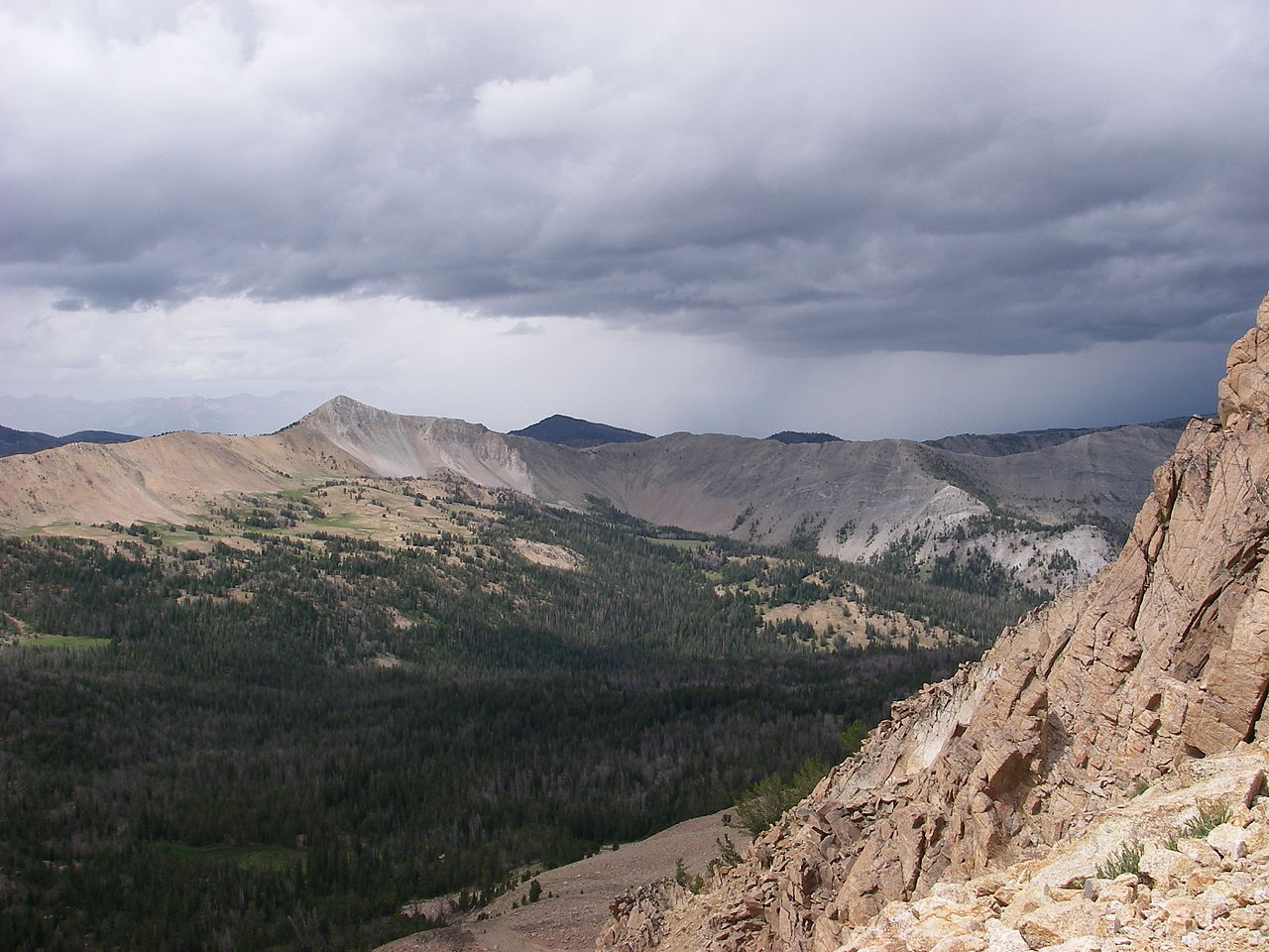
Washington Peak
- 3.5 mi
- round trip
- 651 ft
- climb
- 10,054 ft
- high point
- Out and back
- route
Is Washington Peak open right now?
Alert in the area
The Forest Service lists 4 alerts for Sawtooth National Forest.
Paradise Prescribed Burn Restricted Access
Agency alert covering Sawtooth National Forest · USFS · Sawtooth National Forest
Grandjean Area, Road, and Trail Closure
Agency alert covering Sawtooth National Forest · Order 0414-04-165 · USFS · Sawtooth National Forest
Over-Snow Vehicle and Bicycle Prohibitions
Agency alert covering Sawtooth National Forest · Order 0414-00-028 · USFS · Sawtooth National Forest
Occupancy and Use - Food Storage
Agency alert covering Sawtooth National Forest · Order 0414-04-143 · USFS · Sawtooth National Forest
As of · Source: USFS · Sawtooth National Forest. Agencies don't list every closure — check before you go.
Washington Peak is a moderate hike in Idaho's Sawtooth National Recreation Area, part of the Sawtooth National Forest managed by the Forest Service. The trail is about 3.5 miles long, with a one-way climb of 651 feet from a low point of 8,705 feet to a high of 10,054 feet. The route is an out-and-back on natural surface, and it is open to both horses and bikes. That makes it a flexible option for riders and pack animals as well as hikers. Phyllis Lake Trail lies about 1.8 miles away, and Champion Creek and Germania Creek are each within about 2 miles. Washington Lake is about 3 miles off.
Local outfitters
- Camp Perkins10 mi away
- The Sawmill Station20 mi away
Not on Roamze yet. Their page has how to reach them.
 Phyllis Lake TrailHikingPhoto: USFS employees, Public domain (via Wikimedia Commons)1.8 mi
- Champion CreekHiking2 mi
- GERMANIA CREEKHiking2.1 mi
- Washington Lake Cr.Hiking2.6 mi
 WASHINGTON LAKEHikingPhoto: USFS employees, Public domain (via Wikimedia Commons)3 mi
- Cecil D. Andrus-White Clouds WildernessRiver fishing4.6 mi
- Salmon RiverCanoeing6.6 mi
- East Fork Salmon RiverCanoeing8.5 mi
Source: Roamze catalog (indexable pages within 10 miles, PostGIS distance)
 Antz BasinHiking · ~6 min drivePhoto: USFS employees, Public domain (via Wikimedia Commons)
 Chamberlain CreekHiking · ~7 min drivePhoto: USFS employees, Public domain (via Wikimedia Commons)
 Baker LakeHiking · ~11 min drivePhoto: Philthy54 at English Wikipedia, CC BY 3.0 (via Wikimedia Commons)
 Livingston Mill Castle Divide TrailHiking · ~12 min drivePhoto: U.S. Forest Service employees, Public domain (via Wikimedia Commons)
 Corrals TrailHiking · ~8 min drivePhoto: jfdervin, CC BY-SA 2.0 (via Flickr)
- Livingston Mill-Castle DivideHiking · ~12 min drivePhoto: U.S. Forest Service employees, Public domain (via Wikimedia Commons)
 Horton Peak TrailheadHiking · ~12 min drivePhoto: J. Crane, Public domain (via Wikimedia Commons)
- GERMANIA CREEKHiking · ~4 min drive
- Horton Peak TrailHiking · ~12 min drivePhoto: J. Crane, Public domain (via Wikimedia Commons)
- Champion CreekHiking · ~3 min drive