Telephone Draw
- 3.0 mi
- round trip
- 292 ft
- climb
- 6,787 ft
- high point
- Out and back
- route
- May–Sep
- best months
Caution at last check
Agency alerts are in effect for this area; weather is good · USFS, OpenWeather · checked 20 h ago
Is Telephone Draw open right now?
No closures listed
The Forest Service lists no closures for Caribou-Targhee National Forest.
As of · Source: USFS · Caribou-Targhee National Forest. Agencies don't list every closure — check before you go.
Telephone Draw is a 3-mile out-and-back hike in Idaho's Caribou-Targhee National Forest, within the Montpelier Ranger District. The trail rises about 290 feet from a low point of 6,495 feet to a high of 6,787 feet, and it is rated moderate. The Forest Service manages the land, and the trail is open year-round. The route is natural-surfaced and allows both horses and bikes, so it works for riders and pack animals as well as hikers. Summer is the most comfortable time to go. Typical averages from a nearby weather station in Bern, Idaho, show July highs around 85°F with lows near 46°F, and snow is common from November through April. Geneva Summit lies about 1.4 miles away, and Montpelier Canyon Campground is about 3.4 miles off. Gertsch Hollow and Montpelier Canyon are both within about 3.7 miles.
- GENEVA SUMMITHiking1.4 mi
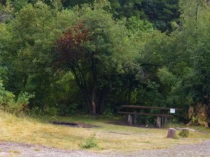 Montpelier Canyon CampgroundCampingPhoto: Recreation.gov (RIDB) / public domain3.4 mi
- Gertsch HollowHiking3.4 mi
- Montpelier CanyonHiking3.7 mi
- Joe's Gap TrailHiking4 mi
- Fox RidgeHiking4.5 mi
- Joe's GapHiking4.8 mi
- Thomas ForkCanoeing5.8 mi
Source: Roamze catalog (indexable pages within 10 miles, PostGIS distance)
- GENEVA SUMMITHiking · ~2 min drive
- Gertsch HollowHiking · ~6 min drive
- Whiskey CreekHiking · ~11 min drive
- Joe's Gap TrailHiking · ~7 min drive
- Montpelier CanyonHiking · ~6 min drive
- MUDDY RIDGEHiking · ~13 min drive
- Fox RidgeHiking · ~8 min drive
- Salt BasinHiking · ~13 min drive
- DIP CREEKHiking · ~13 min drive
- Joe's GapHiking · ~8 min drive
Best time to visit Telephone Draw
Best months: May–September. Best months have typical highs of 55–85 °F, lows of 30 °F or warmer (32 °F where the station doesn't record snow), at most one snowy day and no more than 12 wet days.
Jan
29° / 7°
12 wet · 11 snow
Feb
32° / 9°
11 wet · 9 snow
Mar
42° / 18°
12 wet · 7 snow
Apr
53° / 27°
12 wet · 3 snow
May
64° / 34°
11 wet · 1 snow
Jun
75° / 40°
8 wet
Jul
85° / 46°
6 wet
Aug
84° / 45°
6 wet
Sep
73° / 36°
7 wet
Oct
59° / 27°
8 wet · 2 snow
Nov
43° / 18°
10 wet · 6 snow
Dec
30° / 9°
12 wet · 10 snow
Typical high / low (°F) and days with rain or snow, 1991–2020. Measured at Bern, ID, 11.2 mi away at 5,964 ft. The station sits about 800 ft lower than this place, so expect it a little cooler here. Source: NOAA NCEI U.S. Climate Normals 1991–2020.
