Fox Ridge
- 4.9 mi
- round trip
- 614 ft
- climb
- 8,885 ft
- high point
- Out and back
- route
Is Fox Ridge open right now?
No closures listed
The Forest Service lists no closures for Caribou-Targhee National Forest.
As of · Source: USFS · Caribou-Targhee National Forest. Agencies don't list every closure — check before you go.
Fox Ridge is a 4.9-mile out-and-back hike in Idaho's Caribou-Targhee National Forest, within the Montpelier Ranger District. The trail rises from about 8,342 feet to about 8,885 feet, a climb of 614 feet, and is rated moderate. The Forest Service manages the land, and the route is open year-round. The trail is natural-surfaced and allows both horses and bikes, so it works for riders and pack animals as well as hikers. That makes it a flexible option for a day on foot or on horseback, with the added option of a bike ride. Joe's Gap Trail lies about half a mile away, and Joe's Gap is about a mile off. Bennington Canyon is roughly 1.8 miles away, and Montpelier Canyon Campground is about 3.4 miles away, making it a good base for an overnight stay.
- Joe's Gap TrailHiking0.5 mi
- Joe's GapHiking1.1 mi
- Bennington CanyonHiking1.8 mi
- Montpelier CanyonHiking3.3 mi
- Gertsch HollowHiking3.3 mi
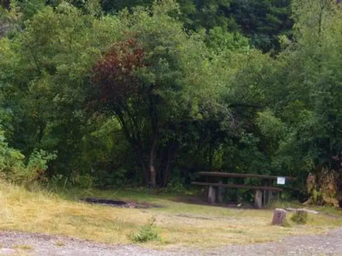 Montpelier Canyon CampgroundCampingPhoto: Recreation.gov (RIDB) / public domain3.4 mi
- Whiskey CreekHiking3.8 mi
- MAPLE CANYONHiking3.9 mi
Source: Roamze catalog (indexable pages within 10 miles, PostGIS distance)
- Joe's Gap TrailHiking · Next door
- Montpelier CanyonHiking · ~6 min drive
- Whiskey CreekHiking · ~7 min drive
- Joe's GapHiking · ~2 min drive
- Gertsch HollowHiking · ~6 min drive
- MUDDY RIDGEHiking · ~10 min drive
- LT. FK. MAPLE CANYONHiking · ~7 min drive
- MAPLE CANYONHiking · ~7 min drive
- Forest Trail 112Hiking · ~11 min drive
- UPPER MONTPELIER CREEKHiking · ~7 min drive

