Joe's Gap Trail
- 3.2 mi
- round trip
- 2,174 ft
- climb
- 8,197 ft
- high point
- Out and back
- route
Is Joe's Gap Trail open right now?
No closures listed
The Forest Service lists no closures for Caribou-Targhee National Forest.
As of · Source: USFS · Caribou-Targhee National Forest. Agencies don't list every closure — check before you go.
Joe's Gap Trail is a 6.4-mile out-and-back hike in Idaho's Caribou-Targhee National Forest, within the Montpelier Ranger District. The trail starts at 8,197 feet and climbs to a high point of 8,197 feet, which makes the route a loop of rolling terrain with a total gain and loss of 2,174 feet. The steepest stretch comes at about 3.1 miles, where the grade reaches 37 percent. The trail is rated moderate, and the round trip takes about three hours. The trail is managed by the Forest Service, and the nearest town is Montpelier. The climb is not a simple ascent and descent but a full loop, so plan for a day on foot rather than a short outing. Fox Ridge lies about half a mile away, and Joe's Gap is about 1.4 miles off. Bennington Canyon and Montpelier Canyon are both within 3 miles. For an overnight stay, Montpelier Canyon Campground is about 3.3 miles away.
- Fox RidgeHiking0.5 mi
- Joe's GapHiking1.4 mi
- Bennington CanyonHiking2.3 mi
- Montpelier CanyonHiking2.9 mi
- Gertsch HollowHiking3.2 mi
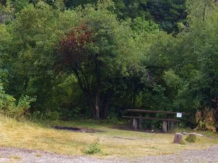 Montpelier Canyon CampgroundCampingPhoto: Recreation.gov (RIDB) / public domain3.3 mi
- Whiskey CreekHiking3.7 mi
- Thomas ForkCanoeing9.9 mi
Source: Roamze catalog (indexable pages within 10 miles, PostGIS distance)
- Fox RidgeHiking · Next door
- Montpelier CanyonHiking · ~5 min drive
- Whiskey CreekHiking · ~6 min drive
- Bennington CanyonHiking · ~4 min drive
- MAPLE CANYONHiking · ~7 min drive
- MUDDY RIDGEHiking · ~10 min drive
- GENEVA SUMMITHiking · ~8 min drive
- Lower Pruess CreekHiking · ~11 min drive
- Forest Trail 112Hiking · ~11 min drive
- DUNNS/HOME CANYONHiking · ~10 min drive

Map and trail data © OpenStreetMap contributors
