South Fork Gold Fork
- 5.0 mi
- round trip
- 122 ft
- climb
- 7,296 ft
- high point
- Out and back
- route
- Jun–Sep
- best months
Is South Fork Gold Fork open right now?
Closure in the area
There's a closure order in Boise National Forest. It doesn't name South Fork Gold Fork, so check the source for the area it covers.
UPDATED Sept. 19 - Crooked Fire Area, Road, and Trail Closure
Agency closure covering Boise National Forest · Order 0402-03-140 · USFS · Boise National Forest
Lava Fire Road Closure
Agency alert covering Boise National Forest · Order 0402-06-84 · USFS · Boise National Forest
As of · Source: USFS · Boise National Forest. Agencies don't list every closure — check before you go.
South Fork Gold Fork is a 5-mile out-and-back hike in the Cascade Ranger District of Boise National Forest in Idaho, managed by the Forest Service. It's a moderate route that rises about 122 feet from a low point of 6,553 feet to a high of 7,296 feet. The trail is a natural-surface route open to both horses and bikes. It sits in a cluster of trails and climbing areas, so it pairs easily with other outings. Summer is the most comfortable time to go. Typical averages from the nearby Deadwood Lodge weather station show July highs around 82°F with lows near 40°F, and temperatures at the top run cooler than those figures. Winter is cold, with January highs around 35°F. The Needles Route Pack Trail starts just 0.2 miles away, and Big Creek Summit is about 0.9 miles off. For paddling, the North Fork Gold Fork River is about 2.5 miles away, and Picnic Point Campground is roughly 8 miles away.
Local outfitters
- Arrowhead RV Park14 mi away
- Black Bear RV Park20 mi away
Not on Roamze yet. Their page has how to reach them.
Best time to go · Jun–Sep
Best time to visit South Fork Gold Fork
Best months: June–September. Best months have typical highs of 55–85 °F, lows of 30 °F or warmer (32 °F where the station doesn't record snow), at most one snowy day and no more than 12 wet days.
Jan
35° / 8°
Feb
36° / 12°
Mar
42° / 16°
Apr
49° / 22°
May
61° / 30°
Jun
70° / 35°
Jul
82° / 40°
Aug
81° / 38°
Sep
73° / 32°
Oct
57° / 26°
Nov
40° / 16°
Dec
31° / 9°
Typical high / low (°F) and days with rain or snow, 1991–2020. Measured at Deadwood Lodge, ID, 18.5 mi away at 5,948 ft. The station sits about 1,300 ft lower than this place, so expect it a little cooler here. This station doesn't record snowfall. Source: NOAA NCEI U.S. Climate Normals 1991–2020.
Keep exploring — more trails worth the drive
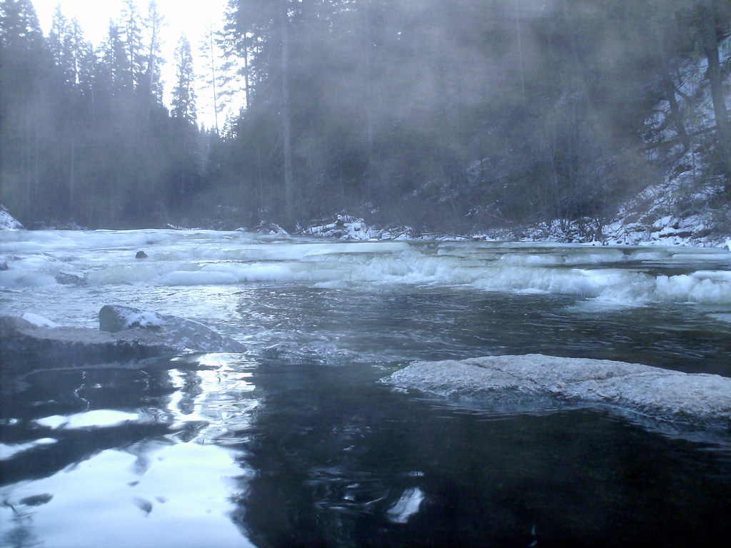 Photo: Stupid Dingo, CC BY 2.0 (via Flickr)
Dollar Creek Ridge
~13 min drive
11.20-mile out-and-back trail on Dollar Creek Ridge with 3,248 ft gain
Photo: Stupid Dingo, CC BY 2.0 (via Flickr)Nickel Creek
~15 min drive
1.50-mile out-and-back trail in Idaho with 192 ft of elevation gain.
HIKE
Needles Route Pack Trail
Next door
29.86-mile out-and-back trail in Idaho with 6,873 ft gain/loss.
HIKE
Kline Mountain Loop
~13 min drive
3.60-mile loop in Idaho with 654 ft gain.
 Photo: Stupid Dingo, CC BY 2.0 (via Flickr)
Wewukiye
~15 min drive
8.76-mile out-and-back trail in Idaho with 577 ft of elevation gain.
Photo: Stupid Dingo, CC BY 2.0 (via Flickr)Vulcan Hot Springs
~16 min drive
1.59-mile out-and-back trail to Vulcan Hot Springs in Idaho, 131 ft elevation gain.
HIKE
CURTIS CREEK
~15 min drive
29.02-mile out-and-back trail in Idaho with 3,436 ft elevation gain/loss
HIKE
TYNDALL CREEK
~14 min drive
7.2-mile out-and-back trail in Idaho with 2,221 ft elevation gain and loss.
Photo: Stupid Dingo, CC BY 2.0 (via Flickr)WEST SIDE WARM LAKE
~16 min drive
14.34-mile out-and-back trail to West Side Warm Lake in Idaho
HIKE
Square Top
~12 min drive
2.03-mile out-and-back trail in Idaho with 264 ft gain.
