Curtis Creek
- 14.5 mi
- round trip
- 3,436 ft
- climb
- 6,479 ft
- high point
- Out and back
- route
- Jun–Sep
- best months
Is CURTIS CREEK open right now?
Closure in the area
There's a closure order in Boise National Forest. It doesn't name CURTIS CREEK, so check the source for the area it covers.
UPDATED Sept. 19 - Crooked Fire Area, Road, and Trail Closure
Agency closure covering Boise National Forest · Order 0402-03-140 · USFS · Boise National Forest
Lava Fire Road Closure
Agency alert covering Boise National Forest · Order 0402-06-84 · USFS · Boise National Forest
As of · Source: USFS · Boise National Forest. Agencies don't list every closure — check before you go.
Curtis Creek is an out-and-back hike in Idaho's Boise National Forest, within the Cascade Ranger District. The route is 29 miles long, with a total elevation gain of 3,436 feet, and it is rated expert. The trail starts at about 5,332 feet and climbs to a high point of 6,479 feet, with the steepest stretch at about 1.8 miles in, where the grade reaches 17 percent. Summer is the most comfortable time to go. Typical averages from a nearby weather station at Deadwood Lodge show July highs around 82°F with lows near 40°F, while winter highs stay in the low to mid 30s. The trip takes about 11.5 hours. Stolle Meadows Cabin sits just 0.6 miles away, and Cougar Rock, Wewukiye and Vulcan Hot Springs are all within about 1.6 miles.
Local outfitters
- Arrowhead RV Park19 mi away
- Black Bear RV Park29 mi away
Not on Roamze yet. Their page has how to reach them.
Best time to go · Jun–Sep
Best time to visit CURTIS CREEK
Best months: June–September. Best months have typical highs of 55–85 °F, lows of 30 °F or warmer (32 °F where the station doesn't record snow), at most one snowy day and no more than 12 wet days.
Jan
35° / 8°
Feb
36° / 12°
Mar
42° / 16°
Apr
49° / 22°
May
61° / 30°
Jun
70° / 35°
Jul
82° / 40°
Aug
81° / 38°
Sep
73° / 32°
Oct
57° / 26°
Nov
40° / 16°
Dec
31° / 9°
Typical high / low (°F) and days with rain or snow, 1991–2020. Measured at Deadwood Lodge, ID, 10.6 mi away at 5,948 ft. The station sits about 500 ft lower than this place, so expect it a little cooler here. This station doesn't record snowfall. Source: NOAA NCEI U.S. Climate Normals 1991–2020.
Keep exploring — more trails worth the drive
 Photo: Stupid Dingo, CC BY 2.0 (via Flickr)
Wewukiye
~3 min drive
8.76-mile out-and-back trail in Idaho with 577 ft of elevation gain.
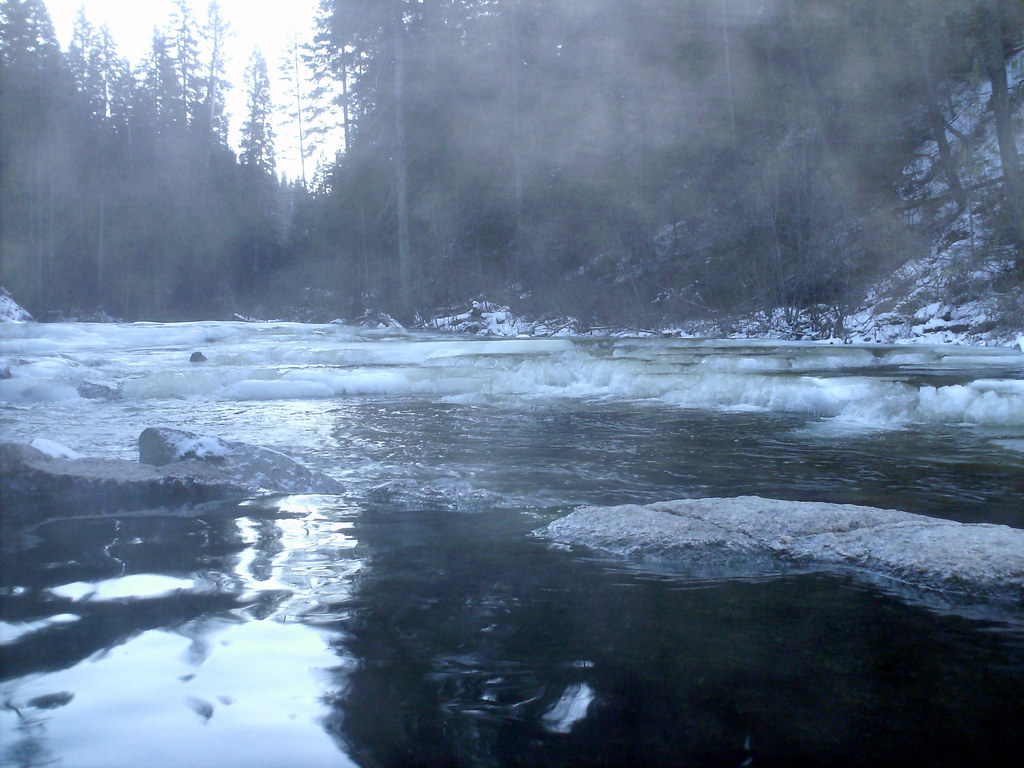 Photo: Stupid Dingo, CC BY 2.0 (via Flickr)
Nickel Creek
~16 min drive
1.50-mile out-and-back trail in Idaho with 192 ft of elevation gain.
HIKE
Cougar Rock
~2 min drive
4.24-mile out-and-back trail in Idaho with 1,812 ft of elevation gain.
HIKE
WARM LAKE / DEADWOOD
~12 min drive
33.86-mile out-and-back trail in Idaho with 3,729 ft elevation gain and loss.
Photo: Stupid Dingo, CC BY 2.0 (via Flickr)WEST SIDE WARM LAKE
~3 min drive
14.34-mile out-and-back trail to West Side Warm Lake in Idaho
Photo: Stupid Dingo, CC BY 2.0 (via Flickr)Vulcan Hot Springs
~3 min drive
1.59-mile out-and-back trail to Vulcan Hot Springs in Idaho, 131 ft elevation gain.
HIKE
BLUE POINT RIDGE
~6 min drive
5.36-mile out-and-back trail in Idaho with 2,268 ft elevation gain/loss
HIKE
Needles Route Pack Trail
~15 min drive
29.86-mile out-and-back trail in Idaho with 6,873 ft gain/loss.
Photo: Stupid Dingo, CC BY 2.0 (via Flickr)Dollar Creek Ridge
~14 min drive
11.20-mile out-and-back trail on Dollar Creek Ridge with 3,248 ft gain
HIKE
SOUTH BEAR CREEK
~4 min drive
2.42-mile out-and-back trail in Idaho with 411 ft elevation gain
Also worth it near here
