Lookout Mountain Trail
- 0.9 mi
- round trip
- 633 ft
- climb
- 7,992 ft
- high point
- Out and back
- route
Is Lookout Mountain Trail open right now?
Alert in the area
The Forest Service lists 5 alerts for Payette National Forest.
Over Snow Vehicle Closure (Forestwide)
Agency alert covering Payette National Forest · Order 0412-638 · USFS · Payette National Forest
Over Snow Vehicle Closure (Brundage Mountain Resort Snowcat Routes)
Agency alert covering Payette National Forest · Order 0412-637 · USFS · Payette National Forest
Lost Valley Log Hauling
Agency alert covering Payette National Forest · USFS · Payette National Forest
Over Snow Vehicle Closure (Granite Mountain)
Agency alert covering Payette National Forest · Order 0412-635 · USFS · Payette National Forest
Gordon Titus Upper Elevation Parking Lot Winter Restrictions
Agency alert covering Payette National Forest · Order 0412-543 · USFS · Payette National Forest
As of · Source: USFS · Payette National Forest. Agencies don't list every closure — check before you go.
Lookout Mountain Trail is an easy, out-and-back hike in Idaho's Frank Church-River of No Return Wilderness, part of the Krassel Ranger District of the Payette National Forest. The trail is short, about 1.9 miles long, and the climb to its high point of 7,992 feet adds up to a total gain of 633 feet over the round trip. The trail starts at about 7,730 feet and reaches its highest point roughly halfway up. The route is rolling, with the steepest stretch coming early on, around the 0.27-mile mark, where the grade reaches about 15 percent. That makes the start a bit of a climb, but the rest of the trail is gentle. The trail is open year-round, and the Forest Service manages the surrounding land. For a full day on foot, the trail works well as a short outing in the wilderness. It pairs easily with other hikes in the area, including Marble Creek, Pack Trail and Shelrock Ridge Trail, all within about three miles.
Local outfitters
- Black Bear RV Park48 mi away
Not on Roamze yet. Their page has how to reach them.
- Marble CreekHiking1.3 mi
- Pack TrailHiking1.9 mi
- Shelrock Ridge TrailHiking2.6 mi
- Telephone CreekHiking3.3 mi
- Milk CreekHiking4.5 mi
- Monumental CreekCanoeing5.4 mi
- South Fork Rush CreekHiking7.1 mi
- Rush CreekHiking7.2 mi
Source: Roamze catalog (indexable pages within 10 miles, PostGIS distance)
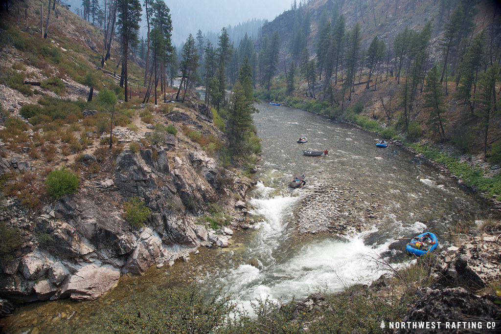 Lake CreekHiking · ~29 min drivePhoto: Northwest Rafting Company, CC BY 2.0 (via Flickr)
- Pack TrailHiking · ~3 min drive
- Shelrock Ridge TrailHiking · ~5 min drive
- Telephone CreekHiking · ~6 min drive
- Marble CreekHiking · ~2 min drive
- Mule HillHiking · ~21 min drive
- PARADISE CR. CUTOFFHiking · ~27 min drive
- Bear LakeHiking · ~17 min drive
- Milk CreekHiking · ~8 min drive
- Rush Creek PointHiking · ~22 min drive
Map and trail data © OpenStreetMap contributors
