Ridge Trail
- 1.6 mi
- round trip
- 877 ft
- climb
- 6,546 ft
- high point
- Out and back
- route
- May–Sep
- best months
Is Ridge Trail open right now?
No closures listed
The Forest Service lists no closures for Caribou-Targhee National Forest.
As of · Source: USFS · Caribou-Targhee National Forest. Agencies don't list every closure — check before you go.
Ridge Trail is an easy out-and-back hike in Idaho's Caribou-Targhee National Forest, within the Ashton/Island Park Ranger District. The trail is about 3 miles long, with a total elevation gain of 877 feet, and it starts at roughly 6,400 feet, reaching a high point of about 6,550 feet. Summer is the most comfortable time to go. Typical averages from the nearby Island Park weather station show July and August highs around 77°F with lows in the low 40s, while winter highs stay in the 20s. The trip takes about 1.5 hours. The Ridge Trail Shortcut lies about half a mile away, and the Silver Lake Trail and Thurmon Creek Loop are each under a mile off. For an overnight stay, Box Canyon Campground is about 6 miles away.
- Ridge Trail ShortcutHiking0.5 mi
- Silver Lake TrailHiking0.8 mi
- Thurmon Creek LoopHiking0.9 mi
- Henrys ForkRiver fishing5 mi
 Riverside (id - Targhee)CampingPhoto: Recreation.gov (RIDB) / public domain5.8 mi
- Box Canyon CampgroundCamping5.9 mi
 ButtermilkCampingPhoto: Recreation.gov (RIDB) / public domain7.1 mi
- Island Park ReservoirLake fishing7.3 mi
Source: Roamze catalog (indexable pages within 10 miles, PostGIS distance)
 East Gate TrailHiking · ~4 min drivePhoto: Kathleen Pilley, CC BY-SA 3.0 (via Wikimedia Commons)
 Box CanyonHiking · ~12 min drivePhoto: Tony Webster, CC BY 2.0 (via Flickr)
 Moose CreekHiking · ~27 min drivePhoto: cjennr76, CC BY 2.0 (via Flickr)
- BIG BEND RIDGE TRAILHiking · ~21 min drive
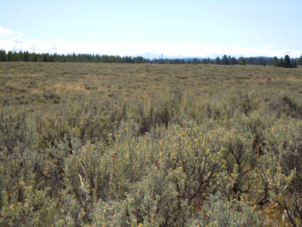 North Gate PathHiking · ~6 min drivePhoto: Matt Lavin, CC BY-SA 2.0 (via Flickr)
 Coffee Pot RapidsHiking · ~21 min drivePhoto: James N Perdue, CC BY-SA 4.0 (via Wikimedia Commons)
- Trail CanyonHiking · ~27 min drivePhoto: cjennr76, CC BY 2.0 (via Flickr)
 PONDS TRAIL CHiking · ~14 min drivePhoto: Jeremiah Ro, CC BY-SA 2.0 (via Flickr)
- WEST END LOOPHiking · ~6 min drive
- Howard CreekHiking · ~23 min drive
Best time to visit Ridge Trail
Best months: May–September. Best months have typical highs of 55–85 °F, lows of 30 °F or warmer (32 °F where the station doesn't record snow), at most one snowy day and no more than 12 wet days.
Jan
27° / 6°
Feb
30° / 7°
Mar
39° / 14°
Apr
47° / 23°
May
59° / 32°
Jun
67° / 38°
Jul
77° / 43°
Aug
77° / 40°
Sep
68° / 32°
Oct
51° / 24°
Nov
36° / 14°
Dec
25° / 6°
Typical high / low (°F) and days with rain or snow, 1991–2020. Measured at Island Park, ID, 8.2 mi away at 6,290 ft. This station doesn't record snowfall. Source: NOAA NCEI U.S. Climate Normals 1991–2020.
Map and trail data © OpenStreetMap contributors
