East Gate Trail
 Photo: Kathleen Pilley, CC BY-SA 3.0 (via Wikimedia Commons)
- 1.1 mi
- round trip
- 27 ft
- climb
- 6,141 ft
- high point
- Out and back
- route
- May–Sep
- best months
Is East Gate Trail open right now?
No closures listed
The Forest Service lists no closures for Caribou-Targhee National Forest.
As of · Source: USFS · Caribou-Targhee National Forest. Agencies don't list every closure — check before you go.
East Gate Trail is a short, easy hike in Harriman State Park in Idaho, managed by State Park and Recreation. The trail lies within the Ashton/Island Park Ranger District of the Caribou-Targhee National Forest, about 1 mile from the town of Island Park. The route is an out-and-back of about 2 miles, with a total climb of about 27 feet. It starts at roughly 6,125 feet and reaches a high point of about 6,141 feet, so the trail is nearly flat from start to finish. Summer is the most comfortable time to go. Typical averages from the nearby Island Park weather station show July and August highs around 77°F with lows in the low 40s, while winter highs stay in the 20s. Several other trails sit close by. North Gate Path is about a mile away, and River Trail and Thurmon Creek Loop are within about 1.6 miles. For an overnight stay, Box Canyon Campground is about 4 miles off.
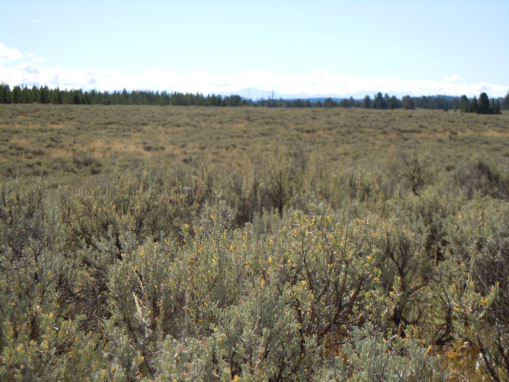 North Gate PathHikingPhoto: Matt Lavin, CC BY-SA 2.0 (via Flickr)1 mi
- River TrailHiking1.1 mi
- Thurmon Creek LoopHiking1.6 mi
- Henrys ForkRiver fishing2.8 mi
- Box Canyon CampgroundCamping4 mi
 Riverside (id - Targhee)CampingPhoto: Recreation.gov (RIDB) / public domain5.5 mi
- Island Park ReservoirLake fishing5.8 mi
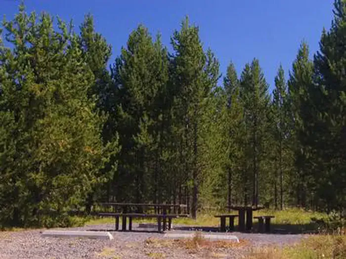 ButtermilkCampingPhoto: Recreation.gov (RIDB) / public domain6.1 mi
Source: Roamze catalog (indexable pages within 10 miles, PostGIS distance)
- North Gate PathHiking · ~2 min drivePhoto: Matt Lavin, CC BY-SA 2.0 (via Flickr)
 Coffee Pot RapidsHiking · ~18 min drivePhoto: James N Perdue, CC BY-SA 4.0 (via Wikimedia Commons)
 Moose CreekHiking · ~24 min drivePhoto: cjennr76, CC BY 2.0 (via Flickr)
- BIG BEND RIDGE TRAILHiking · ~21 min drive
 PONDS TRAIL CHiking · ~11 min drivePhoto: Jeremiah Ro, CC BY-SA 2.0 (via Flickr)
 Box CanyonHiking · ~10 min drivePhoto: Tony Webster, CC BY 2.0 (via Flickr)
- Trail CanyonHiking · ~24 min drivePhoto: cjennr76, CC BY 2.0 (via Flickr)
- Buffalo River TrailHiking · ~11 min drivePhoto: Jeremiah Ro, CC BY-SA 2.0 (via Flickr)
- LAST CHANCE TRAILHiking · ~4 min drive
- Howard CreekHiking · ~26 min drive
Best time to visit East Gate Trail
Best months: May–September. Best months have typical highs of 55–85 °F, lows of 30 °F or warmer (32 °F where the station doesn't record snow), at most one snowy day and no more than 12 wet days.
Jan
27° / 6°
Feb
30° / 7°
Mar
39° / 14°
Apr
47° / 23°
May
59° / 32°
Jun
67° / 38°
Jul
77° / 43°
Aug
77° / 40°
Sep
68° / 32°
Oct
51° / 24°
Nov
36° / 14°
Dec
25° / 6°
Typical high / low (°F) and days with rain or snow, 1991–2020. Measured at Island Park, ID, 6.4 mi away at 6,290 ft. This station doesn't record snowfall. Source: NOAA NCEI U.S. Climate Normals 1991–2020.
Map and trail data © OpenStreetMap contributors
