Box Canyon
 Photo: Tony Webster, CC BY 2.0 (via Flickr)
- 5.6 mi
- round trip
- 43 ft
- climb
- 6,289 ft
- high point
- Out and back
- route
- May–Sep
- best months
Is Box Canyon open right now?
No closures listed
The Forest Service lists no closures for Caribou-Targhee National Forest.
As of · Source: USFS · Caribou-Targhee National Forest. Agencies don't list every closure — check before you go.
Box Canyon is a moderate hike on Forest Service land in Idaho's Caribou-Targhee National Forest, within the Ashton/Island Park Ranger District and about 1.2 miles from the town of Island Park. The route is an out-and-back that covers about 5.6 miles, with an elevation gain of about 43 feet. That makes it a fairly flat, low-effort outing. The trail is on natural surface, and it is open to both horses and bikes. Summer is the most comfortable time to go. Typical July and August highs reach about 77°F with lows in the low 40s, based on averages from a nearby weather station in Island Park. Island Park Reservoir is about half a mile away. The PONDS TRAIL C and the Buffalo River Trail are each within about a mile, and Box Canyon Campground is about 1.6 miles off.
Best time to go · May–Sep
Best time to visit Box Canyon
Best months: May–September. Best months have typical highs of 55–85 °F, lows of 30 °F or warmer (32 °F where the station doesn't record snow), at most one snowy day and no more than 12 wet days.
Jan
27° / 6°
Feb
30° / 7°
Mar
39° / 14°
Apr
47° / 23°
May
59° / 32°
Jun
67° / 38°
Jul
77° / 43°
Aug
77° / 40°
Sep
68° / 32°
Oct
51° / 24°
Nov
36° / 14°
Dec
25° / 6°
Typical high / low (°F) and days with rain or snow, 1991–2020. Measured at Island Park, ID, 1.1 mi away at 6,290 ft. This station doesn't record snowfall. Source: NOAA NCEI U.S. Climate Normals 1991–2020.
Keep exploring — more trails worth the drive
 Photo: Jeremiah Ro, CC BY-SA 2.0 (via Flickr)
PONDS TRAIL C
~2 min drive
1.9-mile out-and-back trail in Idaho with 47 ft elevation gain.
 Photo: James N Perdue, CC BY-SA 4.0 (via Wikimedia Commons)
Coffee Pot Rapids
~9 min drive
4.31-mile out-and-back trail through Coffee Pot Rapids in Idaho with 95 ft of elevation gain.
 Photo: cjennr76, CC BY 2.0 (via Flickr)
Moose Creek
~27 min drive
12.53-mile out-and-back trail in Idaho with 1,245 ft elevation gain.
Photo: Jeremiah Ro, CC BY-SA 2.0 (via Flickr)Buffalo River Trail
~2 min drive
2.49-mile out-and-back trail on Buffalo River in Idaho
HIKE
DYNAMITE SPRINGS TRAIL
~7 min drive
6.88-mile out-and-back trail in Idaho with 488 ft elevation gain and loss.
Photo: cjennr76, CC BY 2.0 (via Flickr)Trail Canyon
~27 min drive
13.69-mile out-and-back trail in Idaho with 1,608 ft gain.
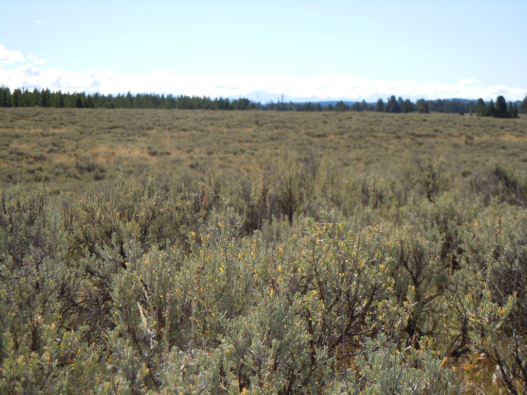 Photo: Matt Lavin, CC BY-SA 2.0 (via Flickr)
North Gate Path
~9 min drive
2.88-mile out-and-back trail in Idaho with 112 ft elevation gain
HIKE
LAST CHANCE TRAIL
~12 min drive
8.38-mile out-and-back trail in Idaho with 343 ft elevation gain and loss.
HIKE
Flat Canyon
~23 min drive
6.88-mile out-and-back trail in Idaho with 1,276 ft of elevation gain.
 Photo: Kathleen Pilley, CC BY-SA 3.0 (via Wikimedia Commons)
East Gate Trail
~10 min drive
2.14-mile out-and-back trail in Idaho with 27 ft elevation gain and loss.
Also worth it near here
