Redfish Creek - Baron Creek Trail
 Photo: Argyleist from Sugarhood, Utah, USA, CC BY 2.0 (via Wikimedia Commons)
- 42.4 mi
- round trip
- 1,444 ft
- climb
- 9,141 ft
- high point
- Out and back
- route
Caution at last check
Agency alerts are in effect for this area; weather is marginal · USFS, OpenWeather · checked 22 h ago
Is Redfish Creek - Baron Creek Trail open right now?
Alert in the area
The Forest Service lists 4 alerts for Sawtooth National Forest.
Paradise Prescribed Burn Restricted Access
Agency alert covering Sawtooth National Forest · USFS · Sawtooth National Forest
Grandjean Area, Road, and Trail Closure
Agency alert covering Sawtooth National Forest · Order 0414-04-165 · USFS · Sawtooth National Forest
Over-Snow Vehicle and Bicycle Prohibitions
Agency alert covering Sawtooth National Forest · Order 0414-00-028 · USFS · Sawtooth National Forest
Occupancy and Use - Food Storage
Agency alert covering Sawtooth National Forest · Order 0414-04-143 · USFS · Sawtooth National Forest
As of · Source: USFS · Sawtooth National Forest. Agencies don't list every closure — check before you go.
Redfish Creek - Baron Creek Trail is a hard, out-and-back route in Idaho's Sawtooth National Recreation Area, part of the Sawtooth National Forest. The trail's climb carries hikers from about 5,200 feet to roughly 9,100 feet, with an elevation gain of 1,444 feet over a round-trip distance of about 42 miles. The trail begins at the Redfish Trailhead, and the Forest Service manages the surrounding land. Bikes are not allowed on this route, so plan for a foot-only trip. The trailhead sits close to several other destinations. Redfish Cabin and Marshall Lake Cutoff are both about 0.4 miles away. Redfish Lake Campground and the Redfish Lake Bouldering climbing area are each about half a mile off.
Local outfitters
- Camp Perkins16 mi away
- The Sawmill Station24 mi away
Not on Roamze yet. Their page has how to reach them.
 Marshall Lake CutoffHikingPhoto: treegrow, CC BY 2.0 (via Flickr)0.4 mi
- Redfish CabinCamping0.4 mi
- Redfish Lake CampgroundCamping0.5 mi
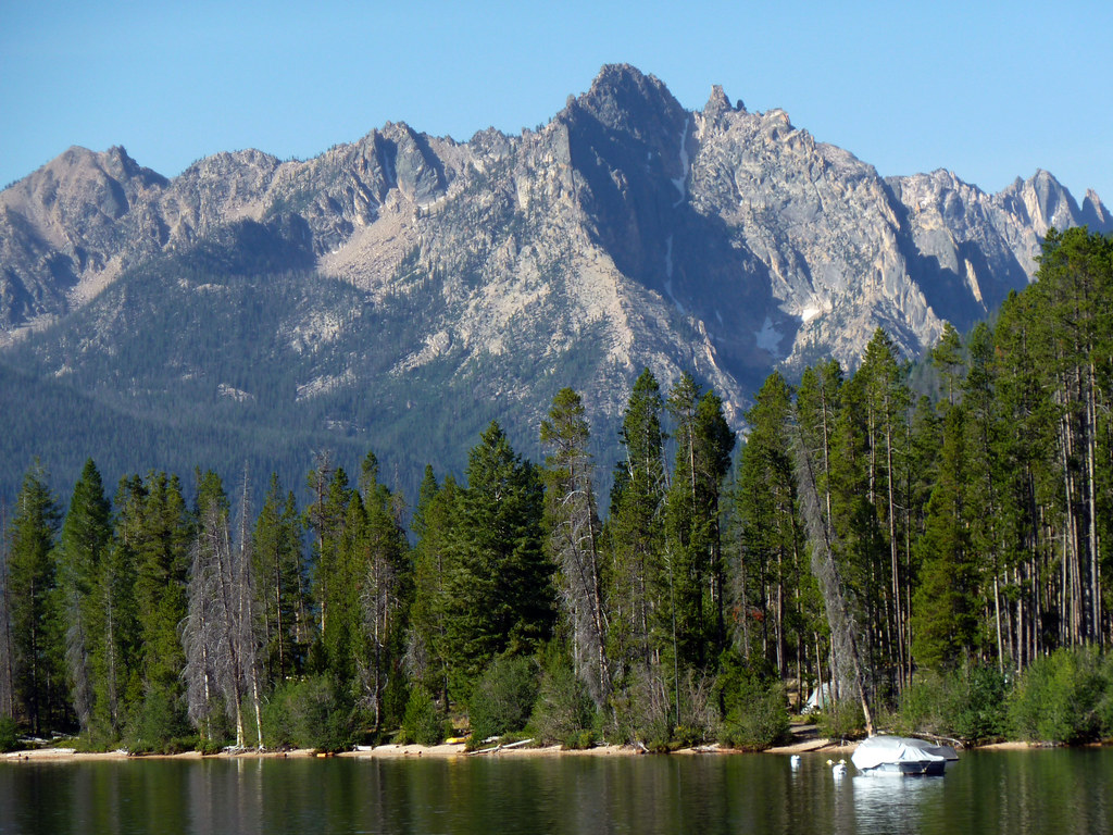 Redfish Lake BoulderingRock climbingPhoto: treegrow, CC BY 2.0 (via Flickr)0.5 mi
- North Shore Picnic AreaCamping0.5 mi
 Roundabout BoulderRock climbingPhoto: Fredlyfish4 at English Wikipedia, CC BY-SA 3.0 (via Wikimedia Commons)0.9 mi
 Fishhook TrailHikingPhoto: bgwashburn, CC BY 2.0 (via Flickr)1.6 mi
- Salmon RiverRiver fishing4.7 mi
Source: Roamze catalog (indexable pages within 10 miles, PostGIS distance)
- Marshall Lake CutoffHiking · Next doorPhoto: treegrow, CC BY 2.0 (via Flickr)
- Fishhook TrailHiking · ~3 min drivePhoto: bgwashburn, CC BY 2.0 (via Flickr)
 BOUNDARY CREEKHiking · ~5 min drivePhoto: Jloft, Public domain (via Wikimedia Commons)
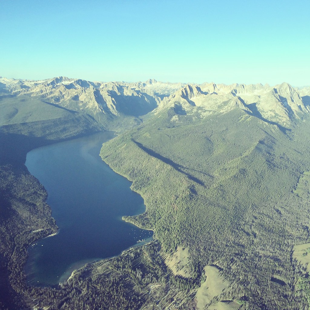 REDFISH LAKEHiking · ~3 min drivePhoto: Sam Beebe, CC BY 2.0 (via Flickr)
- Fishhook TrailHiking · ~3 min drivePhoto: bgwashburn, CC BY 2.0 (via Flickr)
 Grand Mogul TrailHiking · ~6 min drivePhoto: WaterArchives.org from Sacramento, California, USA, CC BY-SA 2.0 (via Wikimedia Commons)
 Redfish Ridge TrailHiking · ~5 min drivePhoto: J. Crane, Public domain (via Wikimedia Commons)
 Bench LakesHiking · ~4 min drivePhoto: U.S. Forest Service employees, Public domain (via Wikimedia Commons)
 Alice Lake-Redfish LakeHiking · ~13 min drivePhoto: Observer12, Public domain (via Wikimedia Commons)
 Bull MooseHiking · ~9 min drivePhoto: U.S. Forest Service employees, Public domain (via Wikimedia Commons)

Map and trail data © OpenStreetMap contributors
