Porcupine Lake
- 3.6 mi
- round trip
- 1,082 ft
- climb
- 5,925 ft
- high point
- Out and back
- route
Is Porcupine Lake open right now?
Closure in the area
There's a closure order in Idaho Panhandle National Forests. It doesn't name Porcupine Lake, so check the source for the area it covers (3 listed).
Emergency Road Closure Lightning Creek / Forest Road 419
Agency closure covering Idaho Panhandle National Forests · Order 0104-06-26-002 · USFS · Idaho Panhandle National Forests
Abandoned Mines Area Closure
Agency closure covering Idaho Panhandle National Forests · Order 1-04-00-25-001 · USFS · Idaho Panhandle National Forests
Idaho Panhandle Seasonal Food Storage Order
Agency closure covering Idaho Panhandle National Forests · Order 01-04-00-24-001 · USFS · Idaho Panhandle National Forests
Beehive Lake Trail #279 Closure
Agency alert covering Sandpoint Ranger District · Order 01-04-06-26-007 · USFS · Sandpoint Ranger District
Heavy Truck Traffic on FS Road 209
Agency alert covering Idaho Panhandle National Forests · USFS · Idaho Panhandle National Forests
As of · Source: USFS · Idaho Panhandle National Forests. Agencies don't list every closure — check before you go.
Porcupine Lake is a 3.6-mile out-and-back hike in Idaho's Idaho Panhandle National Forests, within the Sandpoint Ranger District. The trail climbs from a low point of about 4,800 feet to a high of nearly 5,900 feet, with a total elevation gain of 1,082 feet. The Forest Service manages the land, and the route is rated hard. The hike is open from June 1 to September 30. The trail surface is natural, and bikes are allowed. Nearby, Beetop Ridge is about 1.8 miles away. Lightning Creek, a canoeing spot, and the PORCUPINE CREEK and Regal Mine Spur hikes are all within about 3.4 miles. For an overnight stay, Sam Owen campground is about 4.9 miles off.
Local outfitters
- Kootenai River Campground22 mi away
- Nordman Resort44 mi away
Not on Roamze yet. Their page has how to reach them.
- Beetop RidgeHiking1.8 mi
- Lightning CreekCanoeing3.3 mi
- PORCUPINE CREEKHiking3.4 mi
- Regal Mine SpurHiking3.4 mi
- Morris CreekHiking3.5 mi
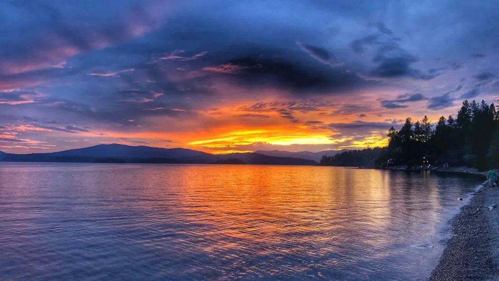 Sam OwenCampingPhoto: Recreation.gov (RIDB) / public domain4.9 mi
- Lunch Peak LookoutCamping8.6 mi
- Gamlin LakeLake fishing9.5 mi
Source: Roamze catalog (indexable pages within 10 miles, PostGIS distance)
 STRONG CREEKHiking · ~6 min drivePhoto: Forest Service - Northern Region, Public Domain Mark (via Flickr)
- Beetop RidgeHiking · ~3 min drive
- Regal Mine SpurHiking · ~6 min drive
- Regal MineHiking · ~6 min drive
- Spar PeakHiking · ~17 min drive
- PORCUPINE CREEKHiking · ~6 min drive
- East Fork CreekHiking · ~7 min drive
- Mt. EagenHiking · ~6 min drive
- Morris CreekHiking · ~6 min drive
- Sam OwenHiking · ~8 min drive

