Lightning Creek
- 18.4 mi
- distance
- 5,278 ft
- high point
Closures in this area
7 active alerts in Idaho Panhandle National Forests; most severe: Emergency Road Closure Lightning Creek / Forest Road 419. Check whether it covers this spot before you go. · USFS, usgs_nwis, OpenWeather · checked 13 h ago
Is Lightning Creek open right now?
Closure reported
The Forest Service lists a closure that covers Lightning Creek.
Emergency Road Closure Lightning Creek / Forest Road 419
Agency closure covering Idaho Panhandle National Forests · Order 0104-06-26-002 · USFS · Idaho Panhandle National Forests
Abandoned Mines Area Closure
Agency closure covering Idaho Panhandle National Forests · Order 1-04-00-25-001 · USFS · Idaho Panhandle National Forests
Idaho Panhandle Seasonal Food Storage Order
Agency closure covering Idaho Panhandle National Forests · Order 01-04-00-24-001 · USFS · Idaho Panhandle National Forests
Beehive Lake Trail #279 Closure
Agency alert covering Sandpoint Ranger District · Order 01-04-06-26-007 · USFS · Sandpoint Ranger District
Heavy Truck Traffic on FS Road 209
Agency alert covering Idaho Panhandle National Forests · USFS · Idaho Panhandle National Forests
As of · Source: USFS · Idaho Panhandle National Forests. Agencies don't list every closure — check before you go.
Lightning Creek is a 18-mile paddling stretch near Clark Fork, Idaho. It is intermittent and may run dry in some seasons. USGS models an average flow of about 428 cfs and a gradient of about 152.8 feet per mile. Land along it is managed by the U.S. Forest Service.
Local outfitters
- Kootenai River Campground18 mi away
- MiVoden42 mi away
Not on Roamze yet. Their page has how to reach them.
- PORCUPINE CREEKHiking2.1 mi
- Mud CreekHiking2.4 mi
- Rattle RidgeHiking3.2 mi
- Porcupine LakeHiking3.3 mi
- Rattle Ridge SpurHiking3.4 mi
- Lunch Peak LookoutCamping5.6 mi
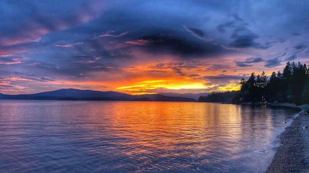 Sam OwenCampingPhoto: Recreation.gov (RIDB) / public domain7.6 mi
- Spar Lake CampgroundCamping9.6 mi
Source: Roamze catalog (indexable pages within 10 miles, PostGIS distance)
 Moyie RiverCanoeing · ~59 min drivePhoto: Public domain (via Wikimedia Commons)
- Sam Owen Boat DockBoat launch · ~13 min drive
- Yaak River CampgroundFloat trip · ~35 min drive
- Rapid Lightning CreekCanoeing · ~17 min drive
- Spar Lake Boating SiteBoat launch · ~16 min drive
- Lake CreekCanoeing · ~26 min drive
- Dorr Skeels Boating SiteBoat launch · ~24 min drive
- Bull RiverCanoeing · ~28 min drive
- Bad Medicine Boating SiteBoat launch · ~25 min drive
- Elk CreekCanoeing · ~35 min drive
Also worth it near here
 STRONG CREEKHiking · ~7 min drivePhoto: Forest Service - Northern Region, Public Domain Mark (via Flickr)
- Char FallsWaterfall · ~9 min drive
 Lake EstelleMountain biking · ~10 min drivePhoto: David Taylor from Coeur d Alene, United States, CC BY 2.0 (via Wikimedia Commons)
- Sam OwenCamping · ~13 min drive
