Porcupine Creek
- 4.9 mi
- round trip
- 4,360 ft
- climb
- 4,805 ft
- high point
- Out and back
- route
Is PORCUPINE CREEK open right now?
Closure in the area
There's a closure order in Idaho Panhandle National Forests. It doesn't name PORCUPINE CREEK, so check the source for the area it covers (3 listed).
Emergency Road Closure Lightning Creek / Forest Road 419
Agency closure covering Idaho Panhandle National Forests · Order 0104-06-26-002 · USFS · Idaho Panhandle National Forests
Abandoned Mines Area Closure
Agency closure covering Idaho Panhandle National Forests · Order 1-04-00-25-001 · USFS · Idaho Panhandle National Forests
Idaho Panhandle Seasonal Food Storage Order
Agency closure covering Idaho Panhandle National Forests · Order 01-04-00-24-001 · USFS · Idaho Panhandle National Forests
Beehive Lake Trail #279 Closure
Agency alert covering Sandpoint Ranger District · Order 01-04-06-26-007 · USFS · Sandpoint Ranger District
Heavy Truck Traffic on FS Road 209
Agency alert covering Idaho Panhandle National Forests · USFS · Idaho Panhandle National Forests
As of · Source: USFS · Idaho Panhandle National Forests. Agencies don't list every closure — check before you go.
Porcupine Creek is a hard out-and-back hike in Idaho's Idaho Panhandle National Forests, within the Sandpoint Ranger District. The route is about 10 miles long, with a total elevation gain of about 4,360 feet, and it reaches a high point of 4,805 feet. The climb is steep, with a 20% grade at about 3.7 miles in, and the trail starts at roughly 2,973 feet. The trip takes about 5.5 hours. Plan for a full day, and expect the most comfortable weather in late summer and early fall. Typical averages from a nearby weather station show September highs around 70°F and July highs near 80°F, with July and August the warmest months. Several other hikes sit within a couple of miles, including East Fork Creek, East Fork Peak and Rattle Ridge Spur. For an overnight stay, Lunch Peak Lookout is about 7.4 miles away.
Local outfitters
- Kootenai River Campground18 mi away
- Nordman Resort45 mi away
Not on Roamze yet. Their page has how to reach them.
- East Fork CreekHiking1.9 mi
- East Fork PeakHiking2.1 mi
- Rattle Ridge SpurHiking2.1 mi
- Lightning CreekCanoeing2.1 mi
- Char CreekHiking2.3 mi
- Lunch Peak LookoutCamping7.4 mi
- Spar Lake CampgroundCamping7.8 mi
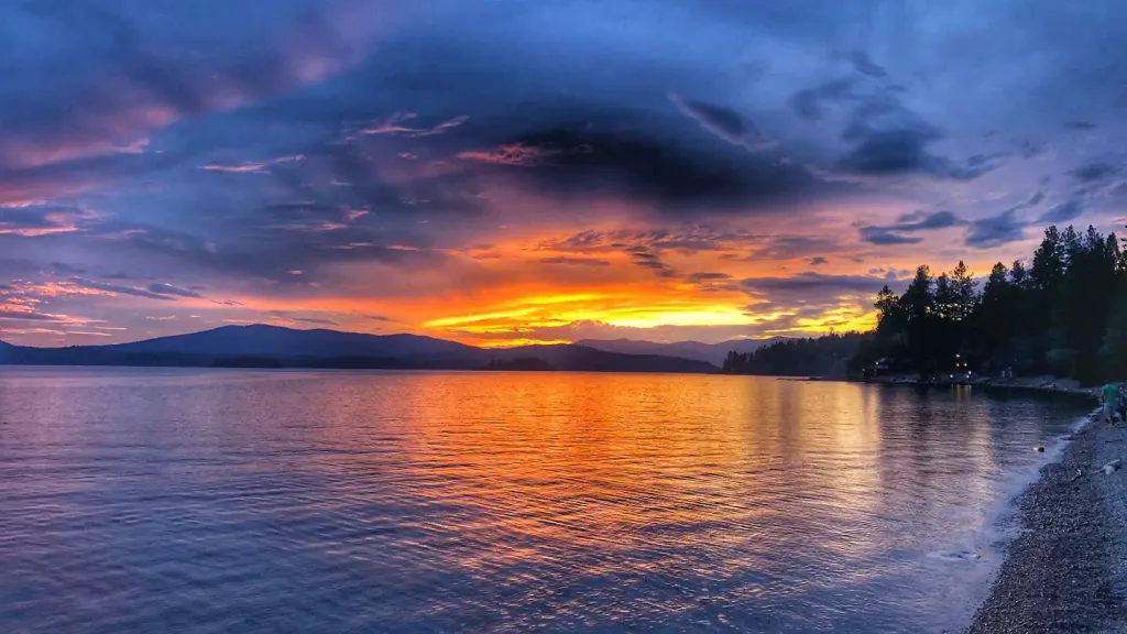 Sam OwenCampingPhoto: Recreation.gov (RIDB) / public domain8.2 mi
Source: Roamze catalog (indexable pages within 10 miles, PostGIS distance)
 STRONG CREEKHiking · ~10 min drivePhoto: Forest Service - Northern Region, Public Domain Mark (via Flickr)
- East Fork CreekHiking · ~3 min drive
- East Fork PeakHiking · ~4 min drive
- Regal MineHiking · ~6 min drive
- Spar PeakHiking · ~12 min drive
- Rattle Ridge SpurHiking · ~4 min drive
- Char CreekHiking · ~4 min drive
- Mt. EagenHiking · ~10 min drive
- Regal Mine SpurHiking · ~7 min drive
- Rattle RidgeHiking · ~5 min drive

