South Creek
- 3.8 mi
- round trip
- 2,737 ft
- climb
- 8,290 ft
- high point
- Out and back
- route
South Creek is a hard hike on Bureau of Land Management land in Idaho, within the Upper Snake Field Office. The out-and-back route is about 7.5 miles long, with a one-way climb of 2,595 feet and a round-trip total of 2,737 feet. It starts at an elevation of about 5,838 feet and peaks near 8,290 feet, and the steepest stretch comes around the 3.6-mile mark with a grade of about 26%. Plan on about four hours for the trip, and factor in the front-loaded nature of the climb, which means the hardest going is early on. The route is set for serious effort, and the high point gives a long stretch of elevation to work with. The hike sits in a cluster of trails. Black Canyon is about 3 miles away, Middle Canyon is about 4 miles off, and the North Creek Trail is about 4.5 miles away. Climbers can reach Box Canyon, about 6.7 miles from the trail.
 BLACK CANYONHikingPhoto: Matt Lavin, CC BY-SA 2.0 (via Flickr)3.1 mi
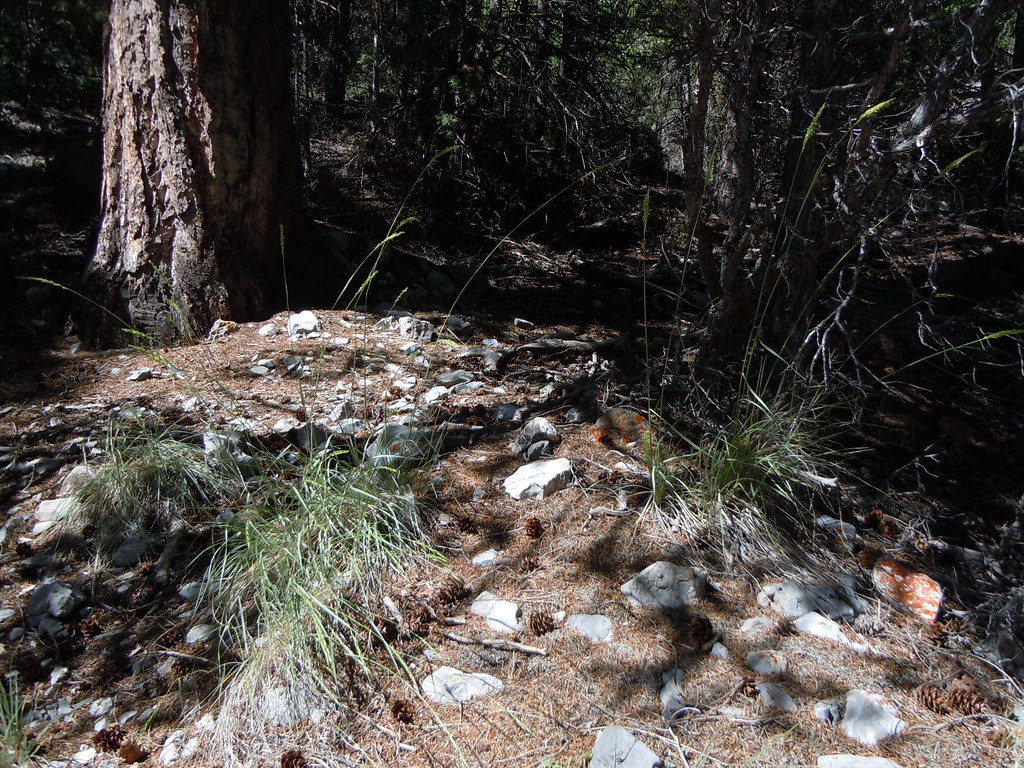 Middle CanyonHikingPhoto: Matt Lavin, CC BY-SA 2.0 (via Flickr)4 mi
- Middle Canyon TrailHikingPhoto: Matt Lavin, CC BY-SA 2.0 (via Flickr)4.3 mi
- NORTH CREEK TRAILHiking4.5 mi
- NORTH CREEK CLAIMS TRAILHiking4.9 mi
- Box CanyonRock climbing6.7 mi
- James Bond WallRock climbing6.8 mi
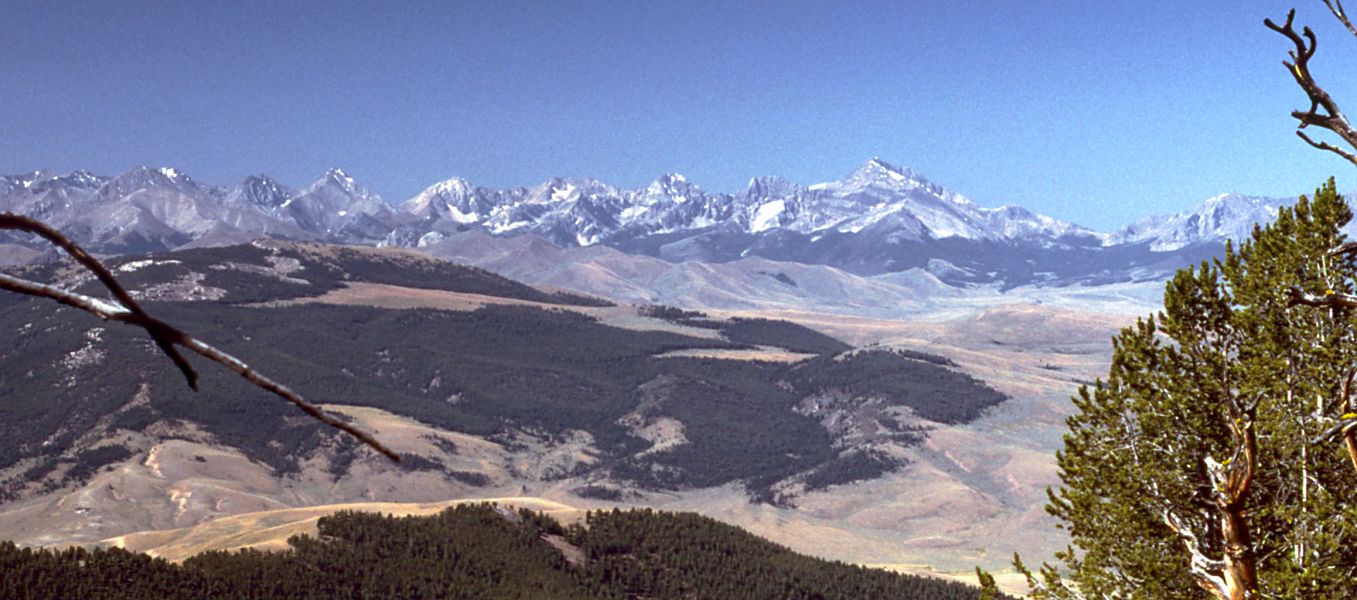 Little Lost RiverCanoeingPhoto: G. Thomas at English Wikipedia, Public domain (via Wikimedia Commons)7.9 mi
Source: Roamze catalog (indexable pages within 10 miles, PostGIS distance)
- BLACK CANYONHiking · ~5 min drivePhoto: Matt Lavin, CC BY-SA 2.0 (via Flickr)
- Middle CanyonHiking · ~7 min drivePhoto: Matt Lavin, CC BY-SA 2.0 (via Flickr)
- NORTH CREEK TRAILHiking · ~8 min drive
- Eightmile TrailHiking · ~18 min drive
- Climber's PathHiking · ~22 min drive
- Middle Canyon TrailHiking · ~7 min drivePhoto: Matt Lavin, CC BY-SA 2.0 (via Flickr)
- BLACKTAIL/MUD LAKEHiking · ~36 min drive
- SANDS CANYON TRAILHiking · ~19 min drive
- BADGER CREEK MINEHiking · ~24 min drive
- NORTH CREEK CLAIMS TRAILHiking · ~8 min drive
