Natural Arch Trail
- 1.0 mi
- round trip
- 1,204 ft
- climb
- 7,614 ft
- high point
- Out and back
- route
- May–Sep
- best months
Natural Arch Trail is a 2-mile out-and-back hike on Bureau of Land Management land in Idaho's Upper Snake Field Office, about 5 miles from the town of Moore. The trail climbs from 6,490 feet to 7,614 feet, with a total gain of 1,204 feet, and the steepest stretch comes at about 0.65 miles in, where the grade reaches 30 percent. Summer is the most comfortable time to go. Typical averages from a nearby weather station show July highs around 82°F with lows near 47°F, while winter brings highs in the low 30s and regular snow days from December through February. That station sits roughly 1,350 feet lower than the trail's high point, so temperatures on the ridge run cooler. The trip starts at the Arco Arches Trailhead and takes about 1.5 hours. Hurst Canyon lies about 4 miles away, and Rams Horn Canyon and Taylor Canyon-Arco Pass are within 7 miles. Climbers can find the Solstice area about 9 miles off.
- HURST CANYONHiking4.3 mi
- RAMS HORN CANYONHiking6.3 mi
- Taylor Canyon-Arco PassHiking7.4 mi
- JUMPOFF PEAKHiking8.1 mi
- SolsticeRock climbing9 mi
- Yellow CakeRock climbing9 mi
- The Head WallRock climbing9 mi
- The FinsRock climbing9 mi
Source: Roamze catalog (indexable pages within 10 miles, PostGIS distance)
 BLACK CANYONHiking · ~30 min drivePhoto: Matt Lavin, CC BY-SA 2.0 (via Flickr)
- Middle Canyon TrailHiking · ~31 min drivePhoto: Matt Lavin, CC BY-SA 2.0 (via Flickr)
- North Crater Flow TrailHiking · ~41 min drive
- Taylor Canyon-Arco PassHiking · ~13 min drive
- NORTH CREEK TRAILHiking · ~36 min drive
- Climber's PathHiking · ~15 min drive
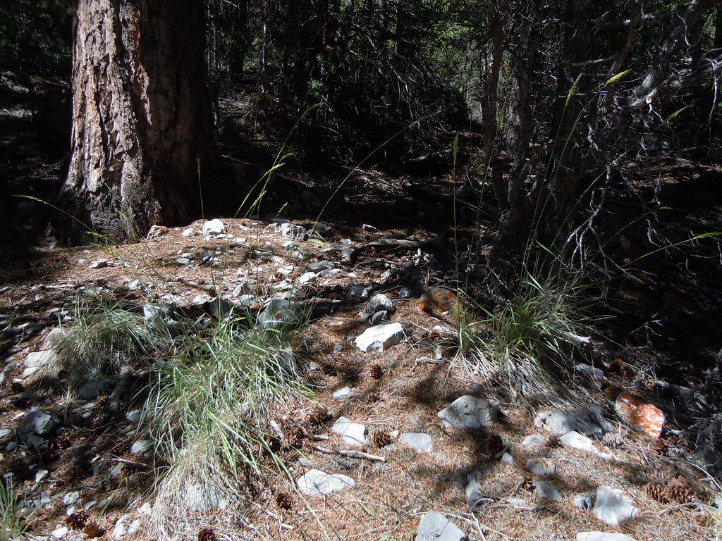 Middle CanyonHiking · ~32 min drivePhoto: Matt Lavin, CC BY-SA 2.0 (via Flickr)
- Craters of the Moon, the Oregon TrailHiking · ~27 min drive
- SANDS CANYON TRAILHiking · ~26 min drive
- BLACKTAIL/MUD LAKEHiking · ~33 min drive
Best time to visit Natural Arch Trail
Best months: May–September. Best months have typical highs of 55–85 °F, lows of 30 °F or warmer (32 °F where the station doesn't record snow), at most one snowy day and no more than 12 wet days.
Jan
31° / 7°
4 wet · 4 snow
Feb
34° / 11°
4 wet · 3 snow
Mar
44° / 21°
5 wet · 2 snow
Apr
53° / 28°
7 wet · 1 snow
May
63° / 35°
9 wet
Jun
72° / 41°
7 wet
Jul
82° / 47°
6 wet
Aug
80° / 45°
5 wet
Sep
72° / 37°
5 wet
Oct
57° / 28°
5 wet · 1 snow
Nov
41° / 18°
5 wet · 2 snow
Dec
30° / 9°
5 wet · 4 snow
Typical high / low (°F) and days with rain or snow, 1991–2020. Measured at Chilly Barton Flat, ID, 32.9 mi away at 6,260 ft. The station sits about 1,400 ft lower than this place, so expect it a little cooler here. Source: NOAA NCEI U.S. Climate Normals 1991–2020.

Map and trail data © OpenStreetMap contributors
