Falls Creek
- 4.8 mi
- round trip
- 3,827 ft
- climb
- 5,998 ft
- high point
- Out and back
- route
Is FALLS CREEK open right now?
Closure in the area
There's a closure order in Idaho Panhandle National Forests. It doesn't name FALLS CREEK, so check the source for the area it covers (3 listed).
Emergency Road Closure Lightning Creek / Forest Road 419
Agency closure covering Idaho Panhandle National Forests · Order 0104-06-26-002 · USFS · Idaho Panhandle National Forests
Abandoned Mines Area Closure
Agency closure covering Idaho Panhandle National Forests · Order 1-04-00-25-001 · USFS · Idaho Panhandle National Forests
Idaho Panhandle Seasonal Food Storage Order
Agency closure covering Idaho Panhandle National Forests · Order 01-04-00-24-001 · USFS · Idaho Panhandle National Forests
Beehive Lake Trail #279 Closure
Agency alert covering Sandpoint Ranger District · Order 01-04-06-26-007 · USFS · Sandpoint Ranger District
Heavy Truck Traffic on FS Road 209
Agency alert covering Idaho Panhandle National Forests · USFS · Idaho Panhandle National Forests
As of · Source: USFS · Idaho Panhandle National Forests. Agencies don't list every closure — check before you go.
Falls Creek is a hard out-and-back hike in Idaho's Idaho Panhandle National Forests, within the Sandpoint Ranger District. It covers 9.6 miles round trip with a total elevation gain of 3,827 feet, peaking at 5,998 feet. The climb is front-loaded, and the steepest stretch comes at about 3.3 miles in, with a grade of 38 percent. The trip starts at 3,268 feet, and the same elevation marks the lowest point on the route. Plan on about five hours for the round trip. Minerva Ridge lies 1.5 miles away, and Whiskey Rock Bay campground is 2.4 miles off. Schafer Peak and Packsaddle Mountain are both about 4.1 miles from the trail.
Local outfitters
- Tour CDA32 mi away
- CDA River RV36 mi away
Not on Roamze yet. Their page has how to reach them.
- MINERVA RIDGEHiking1.5 mi
- Whiskey Rock BayCamping2.4 mi
 SCHAFER PEAKHikingPhoto: waterarchives, CC BY-SA 2.0 (via Flickr)4.1 mi
- PACKSADDLE MOUNTAINHiking4.1 mi
- GRANITE CREEKHiking4.2 mi
- GREEN MOUNTAINHiking4.9 mi
- Maiden RockCamping5.6 mi
- Green BayCamping8.1 mi
Source: Roamze catalog (indexable pages within 10 miles, PostGIS distance)
- SCHAFER PEAKHiking · ~7 min drivePhoto: waterarchives, CC BY-SA 2.0 (via Flickr)
 Bernard PeakHiking · ~19 min drivePhoto: Rick McCharles, CC BY 2.0 (via Flickr)
- MINERVA RIDGEHiking · ~3 min drive
- GRANITE CREEKHiking · ~7 min drive
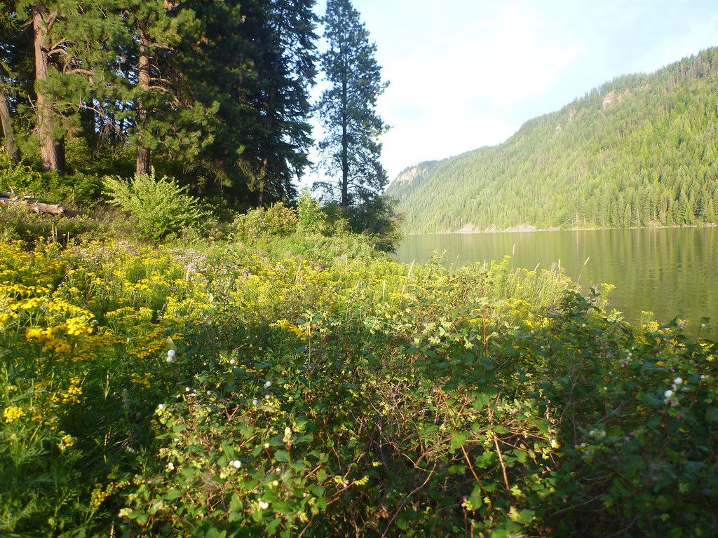 Squirrel Cache LoopHiking · ~19 min drivePhoto: Rick McCharles, CC BY 2.0 (via Flickr)
- GREEN MOUNTAINHiking · ~8 min drive
- PACKSADDLE MOUNTAINHiking · ~7 min drive
- DELYLE CREEKHiking · ~14 min drive
- BRANCH NORTH GOLD CREEKHiking · ~9 min drive
- Evans Landing TrailHiking · ~11 min drive
