Prairie Campground
Campground
Campground · 2.1 mi from the trail
Alert in the area
The Forest Service lists 4 alerts for Sawtooth National Forest.
Paradise Prescribed Burn Restricted Access
Agency alert covering Sawtooth National Forest · USFS · Sawtooth National Forest
Grandjean Area, Road, and Trail Closure
Agency alert covering Sawtooth National Forest · Order 0414-04-165 · USFS · Sawtooth National Forest
Over-Snow Vehicle and Bicycle Prohibitions
Agency alert covering Sawtooth National Forest · Order 0414-00-028 · USFS · Sawtooth National Forest
Occupancy and Use - Food Storage
Agency alert covering Sawtooth National Forest · Order 0414-04-143 · USFS · Sawtooth National Forest
As of · Source: USFS · Sawtooth National Forest. Agencies don't list every closure — check before you go.
Mill Lake Trail is a moderate hike in Idaho's Sawtooth National Recreation Area, part of the Sawtooth National Forest managed by the Forest Service. The trail is about 4.2 miles long, and it rises about 1,200 feet from the start, which sits near 7,167 feet, to a high point of about 8,291 feet. The climb is front-loaded, with the steepest stretch around mile 1.2, where the grade reaches about 24%. The trail is an out-and-back, so the total gain and loss each run about 1,276 feet. For a shorter outing, Norton Creek-Prairie Creek lies about 0.4 miles away, and Mill Creek is about 0.5 miles off. West Fork Prairie Creek is about 1.2 miles away.
Prairie Campground
Campground
Sun Valley Museum of Art
Museum
Places © OpenStreetMap contributors, Places © Overture Maps Foundation
More in KetchumNot on Roamze yet. Their page has how to reach them.
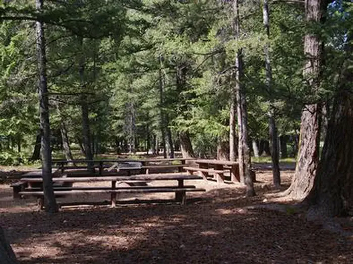 Wood River Group Overnight Area (tent Only)CampingPhoto: Recreation.gov (RIDB) / public domain8.9 mi
Source: Roamze catalog (indexable pages within 10 miles, PostGIS distance)
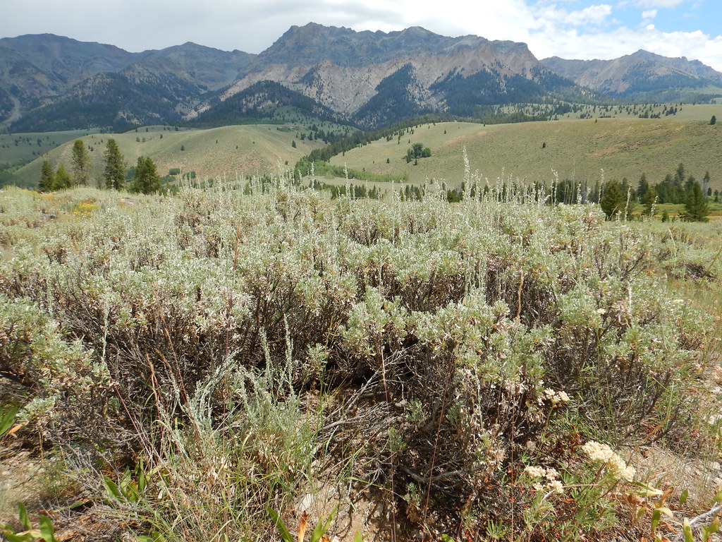 PRAIRIE CREEK CONNECTOR SKIHiking · ~4 min drivePhoto: Matt Lavin, CC BY-SA 2.0 (via Flickr)
 BAKER CREEKHiking · ~7 min drivePhoto: Fredlyfish4 at English Wikipedia, Public domain (via Wikimedia Commons)
 Titus LakeHiking · ~8 min drivePhoto: U.S. Forest Service employees, Public domain (via Wikimedia Commons)
 SILVER CREEK LOOPHiking · ~6 min drivePhoto: U.S. Forest Service employees, Public domain (via Wikimedia Commons)
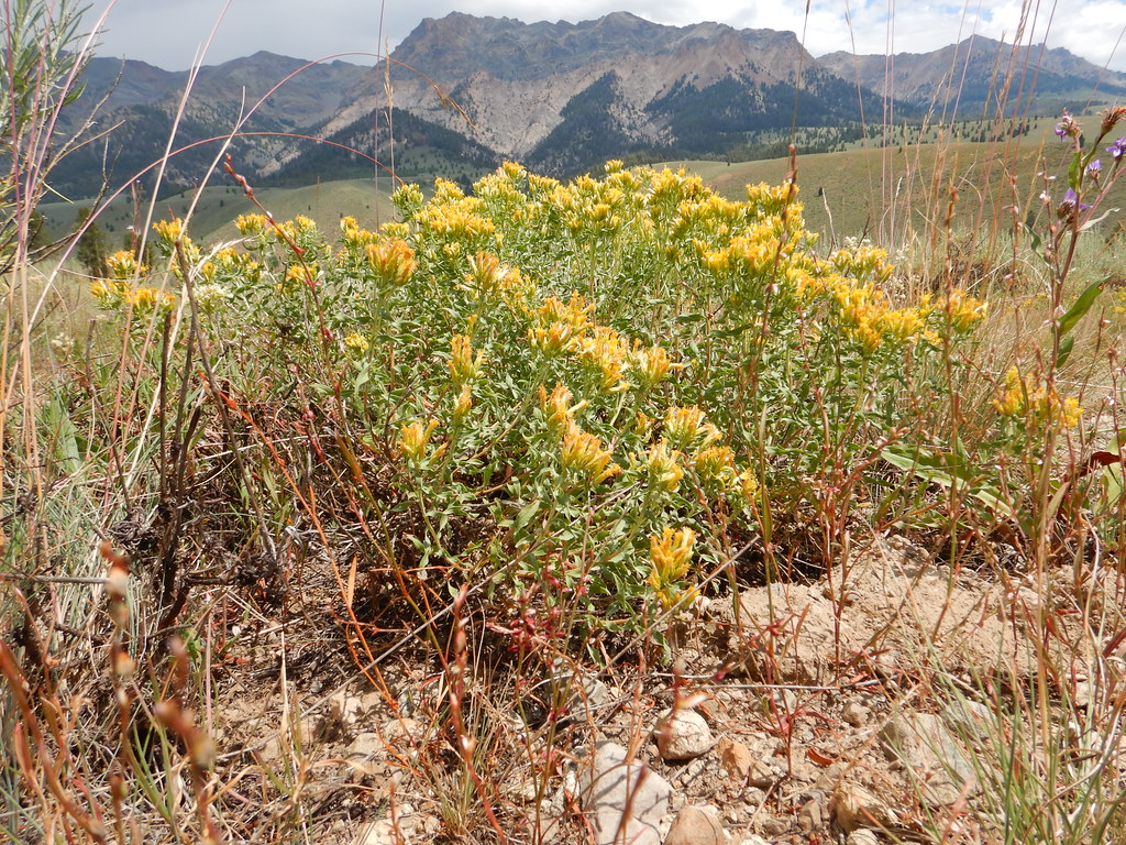 NORTH LOOP SKIHiking · ~4 min drivePhoto: Matt Lavin, CC BY-SA 2.0 (via Flickr)
 Easley Gulch Aka CurliesHiking · ~9 min drivePhoto: Matt Lavin, CC BY-SA 2.0 (via Flickr)PRAIRIE CREEK LOOP SKIHiking · ~4 min drivePhoto: Matt Lavin, CC BY-SA 2.0 (via Flickr)
 NEWMAN CREEKHiking · ~8 min drivePhoto: Matt Lavin, CC BY-SA 2.0 (via Flickr)
Map and trail data © OpenStreetMap contributors
