Bald Mountain Campground
Campground
Campground · 3.7 mi from the trail
Closure in the area
There's a closure order in Boise National Forest. It doesn't name MEADOW CREEK NORTH, so check the source for the area it covers.
UPDATED Sept. 19 - Crooked Fire Area, Road, and Trail Closure
Agency closure covering Boise National Forest · Order 0402-03-140 · USFS · Boise National Forest
Lava Fire Road Closure
Agency alert covering Boise National Forest · Order 0402-06-84 · USFS · Boise National Forest
As of · Source: USFS · Boise National Forest. Agencies don't list every closure — check before you go.
Meadow Creek North is a hard hike in Idaho's Boise National Forest, within the Idaho City Ranger District and managed by the Forest Service. The route is an out-and-back of about 11 miles, with a total climb of roughly 3,000 feet. The steepest stretch comes at about 4.7 miles, where the grade reaches about 29%, and the trip starts at around 5,960 feet, peaking near 6,190 feet before descending back to the low point of about 5,420 feet. Meadow Creek South lies about 1.3 miles away, and Rabbit Creek Loop is about 2 miles off. For an overnight base, Black Rock Campground is about 5 miles away and Troutdale Campground about 6 miles.
Bald Mountain Campground
Campground
 If it rainsj.a.woodhouse from United States, CC BY 2.0 · Wikimedia Commons
Places © OpenStreetMap contributors, Places © Overture Maps Foundation · Photos: j.a.woodhouse from United States, CC BY 2.0 (commons)
More in Idaho CityNot on Roamze yet. Their page has how to reach them.
 Mores CreekCanoeingPhoto: U.S. Forest Service, Public domain (via Wikimedia Commons)7.5 mi
Source: Roamze catalog (indexable pages within 10 miles, PostGIS distance)
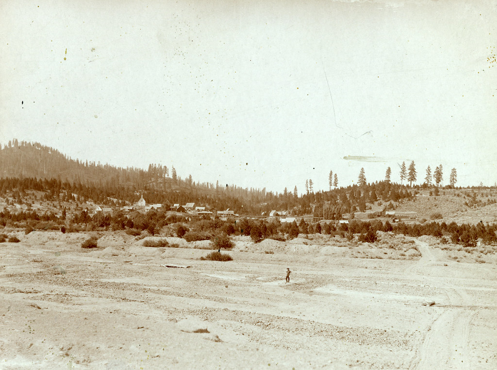 Granite Ck InterpretiveHiking · ~10 min drivePhoto: waterarchives, CC BY-SA 2.0 (via Flickr)
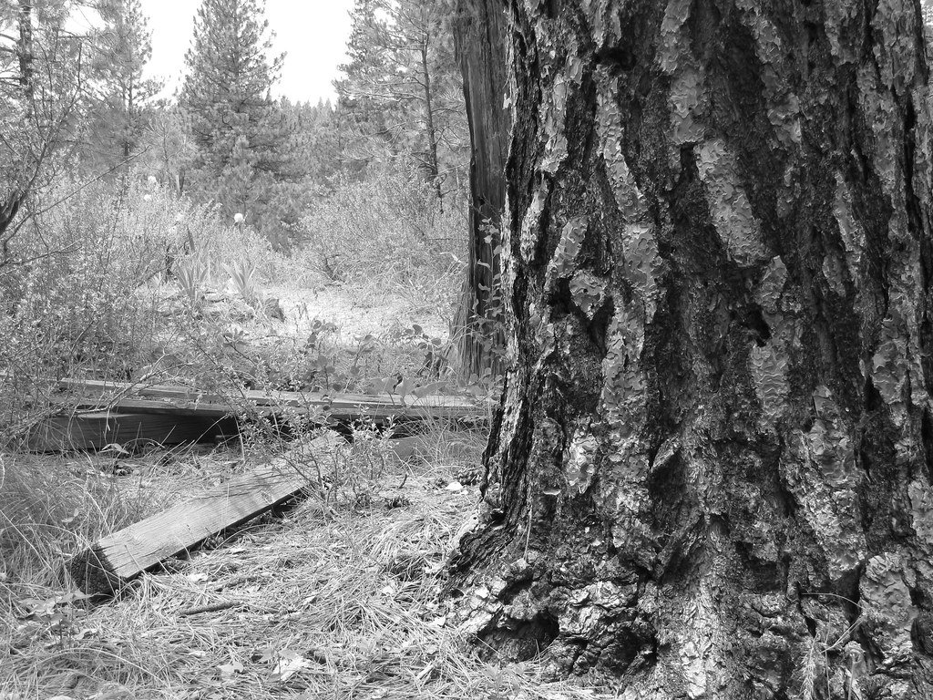 Charcoal Gulch TrailHiking · ~14 min drivePhoto: Fokket, CC BY 2.0 (via Flickr)Steamboat TrailHiking · ~10 min drivePhoto: waterarchives, CC BY-SA 2.0 (via Flickr)UPPER MORES CREEKHiking · ~11 min drivePhoto: waterarchives, CC BY-SA 2.0 (via Flickr)
