Meadow Creek
- 7.1 mi
- round trip
- 4,278 ft
- climb
- 8,065 ft
- high point
- Out and back
- route
Is Meadow Creek open right now?
Alert in the area
The Forest Service lists an alert for Salmon-Challis National Forest.
Stoddard Bridge Construction Closure
Agency alert covering Salmon-Challis National Forest · Order 0413-07-17 · USFS · Salmon-Challis National Forest
As of · Source: USFS · Salmon-Challis National Forest. Agencies don't list every closure — check before you go.
Meadow Creek is a hard hike in Idaho's Salmon-Cobalt Ranger District, part of the Salmon-Challis National Forest. The trail is 7.1 miles long and out-and-back, with a one-way elevation gain of 1,907 feet. The total gain for the round trip is 4,278 feet, and the steepest stretch comes at about 1.4 miles in, with a grade of 32 percent. The trail is on natural surface and is open to both horses and bikes. It starts near 8,023 feet and reaches a high point of 8,065 feet, with the low point at 6,133 feet. For an overnight base, Yellowjacket Guard Station is about 3.2 miles away. The Beagle Creek and Hoodoo Creek hikes are both within about 4 miles, and Yellowjacket Creek, a canoeing spot, is about 4.2 miles off.
Local outfitters
- The Sawmill Station48 mi away
Not on Roamze yet. Their page has how to reach them.
Keep exploring — more trails worth the drive
 Photo: Bplewe, CC BY-SA 4.0 (via Wikimedia Commons)
BEAGLE CREEK
~6 min drive
18-mile out-and-back trail in Idaho with 4,385 ft elevation gain/loss
Photo: Bplewe, CC BY-SA 4.0 (via Wikimedia Commons)Upper Yellowjacket Cr.
~7 min drive
Upper Yellowjacket Cr is a 17.23-mile out-and-back hike in Idaho with 1,696 feet of elevation gain.
HIKE
Silver Creek
~9 min drive
4.78-mile out-and-back trail in Idaho with 1,310 ft elevation gain and loss.
HIKE
Singheiser
~13 min drive
5.37-mile out-and-back trail in Idaho with 739 ft gain.
HIKE
WOODTICK CUTOFF
~20 min drive
6.98-mile out-and-back trail in Idaho with 5,101 ft elevation gain.
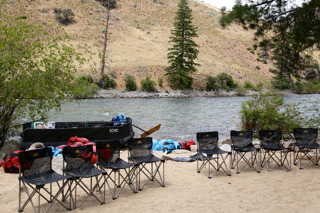 Photo: Northwest Rafting Company, CC BY 2.0 (via Flickr)
Bear Creek Pt.
~22 min drive
34.86-mile out-and-back trail in Idaho with 5,066 ft elevation gain.
HIKE
Lower Yellowjacket
~10 min drive
11.12-mile out-and-back trail in Idaho with 1,283 ft gain.
HIKE
Opal Creek
~15 min drive
2.03-mile out-and-back trail in Idaho with 476 ft elevation gain.
HIKE
Thunder Mountain Historic
~21 min drive
12.12-mile out-and-back trail in Idaho with 2,361 ft elevation gain.
 Photo: Mario Hains, CC BY-SA 3.0 (via Wikimedia Commons)
Waterfall
~23 min drive
32.21-mile out-and-back trail in Idaho with 665 ft elevation gain.
