Maple Canyon
- 3.7 mi
- round trip
- 3,075 ft
- climb
- 8,704 ft
- high point
- Out and back
- route
Is MAPLE CANYON open right now?
No closures listed
The Forest Service lists no closures for Caribou-Targhee National Forest.
As of · Source: USFS · Caribou-Targhee National Forest. Agencies don't list every closure — check before you go.
Maple Canyon is a hard out-and-back hike in Idaho's Caribou-Targhee National Forest, within the Montpelier Ranger District. The route is about 7.4 miles long, with a total elevation gain of 3,075 feet, and it starts at the high point of 8,704 feet. The climb is back-loaded, meaning the steepest stretch comes later in the hike, with the steepest grade reaching 26% around mile 2.5. The Forest Service manages the land, and the trail is rated hard. Plan for about four hours on foot. The route begins at the high point, so the descent mirrors the ascent, and the total loss is also 3,075 feet. Several other hikes lie close by. LT. FK. Maple Canyon is about half a mile away, and Upper Montpelier Creek and Dunns/Home Canyon are each within about 2 miles. For an overnight stay, Montpelier Canyon Campground is roughly 7 miles off.
- LT. FK. MAPLE CANYONHiking0.5 mi
- UPPER MONTPELIER CREEKHiking1.5 mi
- DUNNS/HOME CANYONHiking1.8 mi
- Whiskey CreekHiking2.5 mi
- Rt. Fk. Georgetown CanyonHiking3.6 mi
- Clear Creek Guard StationCamping7.1 mi
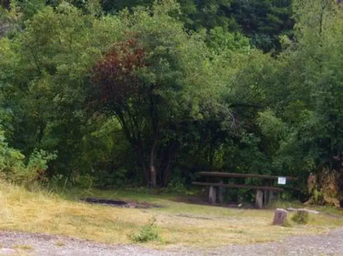 Montpelier Canyon CampgroundCampingPhoto: Recreation.gov (RIDB) / public domain7.3 mi
- Summit View CampgroundCamping8.9 mi
Source: Roamze catalog (indexable pages within 10 miles, PostGIS distance)
- DUNNS/HOME CANYONHiking · ~3 min drive
- Whiskey CreekHiking · ~4 min drive
- Rt. Fk. Georgetown CanyonHiking · ~6 min drive
- BeartrapHiking · ~6 min drive
- White PassHiking · ~6 min drive
- Lower Pruess CreekHiking · ~7 min drive
- Bennington CanyonHiking · ~7 min drive
- Forest Trail 112Hiking · ~7 min drive
- Montpelier CanyonHiking · ~8 min drive
- Fox RidgeHiking · ~7 min drive

