Beartrap
- 4.5 mi
- round trip
- 625 ft
- climb
- 7,808 ft
- high point
- Out and back
- route
- May–Sep
- best months
Is Beartrap open right now?
No closures listed
The Forest Service lists no closures for Caribou-Targhee National Forest.
As of · Source: USFS · Caribou-Targhee National Forest. Agencies don't list every closure — check before you go.
Beartrap is a 4.5-mile out-and-back hike in Idaho's Caribou-Targhee National Forest, within the Montpelier Ranger District. The trail rises from about 7,100 feet to a high point of 7,808 feet, with a total elevation gain of 625 feet. The nearest town is Giveout, about 3.7 miles away, and the Forest Service manages the land. The route is rated moderate, and the trail surface is natural. Bikes and horses are both allowed, so the hike works for riders and pack animals as well as hikers. Summer is the most comfortable time to go. Typical averages from a nearby weather station in Afton, Wyoming, show July highs around 80°F with lows near 44°F, and July and August have the fewest wet days of the year. That station sits about 1,560 feet lower than the trail's high point, so temperatures on the summit run cooler. The hike stays open year-round. Several other trails lie within a couple of miles, including Lower Pruess Creek, Forest Trail 112 and S. Crow Creek. For an overnight base, Clear Creek Guard Station is about 4 miles away.
Local outfitters
- Greys River Cove49 mi away
Not on Roamze yet. Their page has how to reach them.
- Lower Pruess CreekHiking1 mi
- Forest Trail 112Hiking1.2 mi
- S. Crow CreekHiking1.6 mi
- CROW CREEKHiking2 mi
- Red MountainHiking2.1 mi
- Clear Creek Guard StationCamping4 mi
- Summit View CampgroundCamping8.5 mi
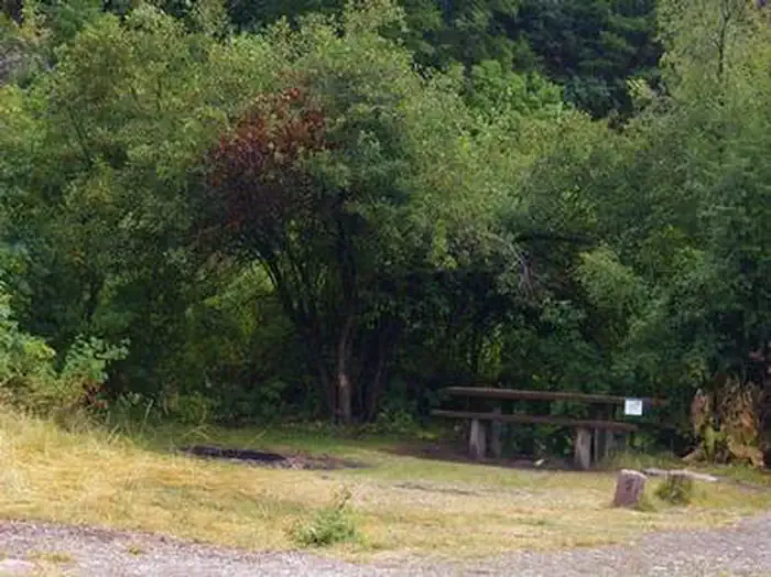 Montpelier Canyon CampgroundCampingPhoto: Recreation.gov (RIDB) / public domain9.9 mi
Source: Roamze catalog (indexable pages within 10 miles, PostGIS distance)
- Lower Pruess CreekHiking · ~2 min drive
- Forest Trail 112Hiking · ~2 min drive
- Forest Trail 112Hiking · ~3 min drive
- Red MountainHiking · ~4 min drive
- MUDDY RIDGEHiking · ~4 min drive
- CROW CREEKHiking · ~3 min drive
- MAPLE CANYONHiking · ~6 min drive
- Whiskey CreekHiking · ~5 min drive
- DUNNS/HOME CANYONHiking · ~6 min drive
- CLEAR CREEKHiking · ~7 min drive
Best time to visit Beartrap
Best months: May–September. Best months have typical highs of 55–85 °F, lows of 30 °F or warmer (32 °F where the station doesn't record snow), at most one snowy day and no more than 12 wet days.
Jan
26° / 5°
12 wet
Feb
30° / 8°
10 wet
Mar
40° / 16°
10 wet
Apr
50° / 25°
10 wet
May
60° / 33°
11 wet
Jun
71° / 38°
8 wet
Jul
80° / 44°
6 wet
Aug
79° / 43°
6 wet
Sep
69° / 34°
7 wet
Oct
56° / 25°
8 wet
Nov
39° / 16°
10 wet
Dec
27° / 7°
12 wet
Typical high / low (°F) and days with rain or snow, 1991–2020. Measured at Afton, WY, 22.5 mi away at 6,248 ft. The station sits about 1,600 ft lower than this place, so expect it a little cooler here. This station doesn't record snowfall. Source: NOAA NCEI U.S. Climate Normals 1991–2020.

