Upper Montpelier Creek
- 2.3 mi
- round trip
- 1,637 ft
- climb
- 8,165 ft
- high point
- Out and back
- route
Caution at last check
Agency alerts are in effect for this area; weather is marginal · USFS, OpenWeather · checked 21 h ago
Is UPPER MONTPELIER CREEK open right now?
No closures listed
The Forest Service lists no closures for Caribou-Targhee National Forest.
As of · Source: USFS · Caribou-Targhee National Forest. Agencies don't list every closure — check before you go.
Upper Montpelier Creek is a moderate out-and-back hike in Idaho's Caribou-Targhee National Forest, within the Montpelier Ranger District. The trail starts at about 7,000 feet and climbs to a high point of 8,165 feet, with a total elevation gain of 1,637 feet over a round trip of about 4.7 miles. The steepest stretch comes at about 2.1 miles in, where the grade reaches 17 percent. The hike is a rolling climb, and the route is roughly 2.3 miles one way. Plan on about 2.5 hours for the round trip. The Forest Service manages the land. Several other hikes sit within a couple of miles, including Whiskey Creek at 1.4 miles and Maple Canyon at 1.5 miles. For an overnight stay, Clear Creek Guard Station is about 6.3 miles away and Montpelier Canyon Campground is about 7.6 miles away.
- Whiskey CreekHiking1.4 mi
- MAPLE CANYONHiking1.5 mi
- LT. FK. MAPLE CANYONHiking1.9 mi
- BeartrapHiking2.6 mi
- DUNNS/HOME CANYONHiking2.6 mi
- Clear Creek Guard StationCamping6.3 mi
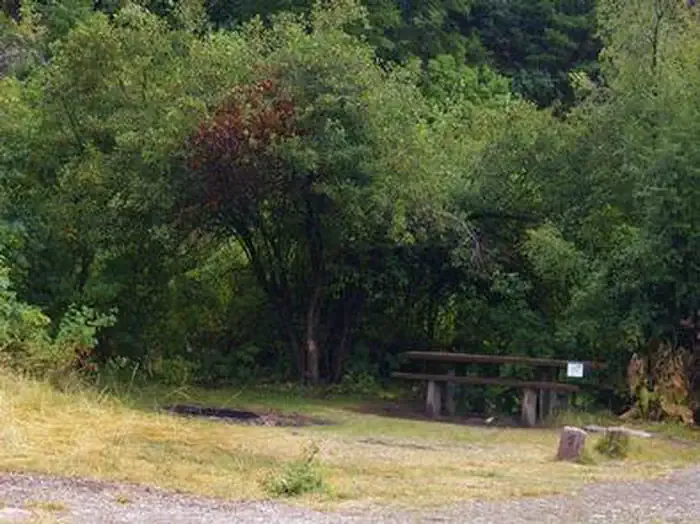 Montpelier Canyon CampgroundCampingPhoto: Recreation.gov (RIDB) / public domain7.6 mi
- Summit View CampgroundCamping9.3 mi
Source: Roamze catalog (indexable pages within 10 miles, PostGIS distance)
- Whiskey CreekHiking · ~2 min drive
- MAPLE CANYONHiking · ~3 min drive
- BeartrapHiking · ~4 min drive
- Forest Trail 112Hiking · ~5 min drive
- Lower Pruess CreekHiking · ~5 min drive
- DUNNS/HOME CANYONHiking · ~4 min drive
- MUDDY RIDGEHiking · ~5 min drive
- Montpelier CanyonHiking · ~7 min drive
- Forest Trail 112Hiking · ~5 min drive
- S. Crow CreekHiking · ~6 min drive
