Kline Mountain South Trail
- 0.5 mi
- round trip
- 356 ft
- climb
- 5,521 ft
- high point
- Out and back
- route
- Jun–Sep
- best months
Is Kline Mountain South Trail open right now?
Closure in the area
There's a closure order in Boise National Forest. It doesn't name Kline Mountain South Trail, so check the source for the area it covers.
UPDATED Sept. 19 - Crooked Fire Area, Road, and Trail Closure
Agency closure covering Boise National Forest · Order 0402-03-140 · USFS · Boise National Forest
Lava Fire Road Closure
Agency alert covering Boise National Forest · Order 0402-06-84 · USFS · Boise National Forest
As of · Source: USFS · Boise National Forest. Agencies don't list every closure — check before you go.
Kline Mountain South Trail is an easy hike in Idaho's Boise National Forest, within the Cascade Ranger District. The trail is short, about a mile long one way, with a total elevation gain of 356 feet, and it makes a steady climb from a starting point of about 5,475 feet to a high point of about 5,521 feet. The steepest section comes at about a third of the way, where the grade reaches about 12 percent. Summer is the most comfortable time to go. Typical averages from a nearby weather station at Deadwood Lodge run to highs around 70°F in June and 82°F in July, while winter highs stay near freezing or below. The trip takes about half an hour. Picnic Point campground is about 0.4 miles away, and Kline Mountain Trail is about half a mile off. For paddling, the South Fork Salmon River is roughly 3.7 miles away.
Local outfitters
- Arrowhead RV Park20 mi away
- Black Bear RV Park26 mi away
Not on Roamze yet. Their page has how to reach them.
- Picnic Point (id)Camping0.4 mi
- Kline Mountain TrailHiking0.5 mi
- KLINE MOUNTAIN SOUTHHiking0.5 mi
- Picnic Point CampgroundCamping0.6 mi
- Kline Mountain LoopHiking0.6 mi
 South Fork Salmon RiverCanoeingPhoto: Zachary Collier, CC BY 2.0 (via Wikimedia Commons)3.7 mi
- North Fork Gold Fork RiverCanoeing9.4 mi
- Pins And Needles (McCall Area)Rock climbing9.4 mi
Source: Roamze catalog (indexable pages within 10 miles, PostGIS distance)
 WewukiyeHiking · ~8 min drivePhoto: Stupid Dingo, CC BY 2.0 (via Flickr)
- Vulcan Hot SpringsHiking · ~8 min drivePhoto: Stupid Dingo, CC BY 2.0 (via Flickr)
- Kline Mountain LoopHiking · ~1 min drive
- CURTIS CREEKHiking · ~6 min drive
- WEST SIDE WARM LAKEHiking · ~9 min drivePhoto: Stupid Dingo, CC BY 2.0 (via Flickr)
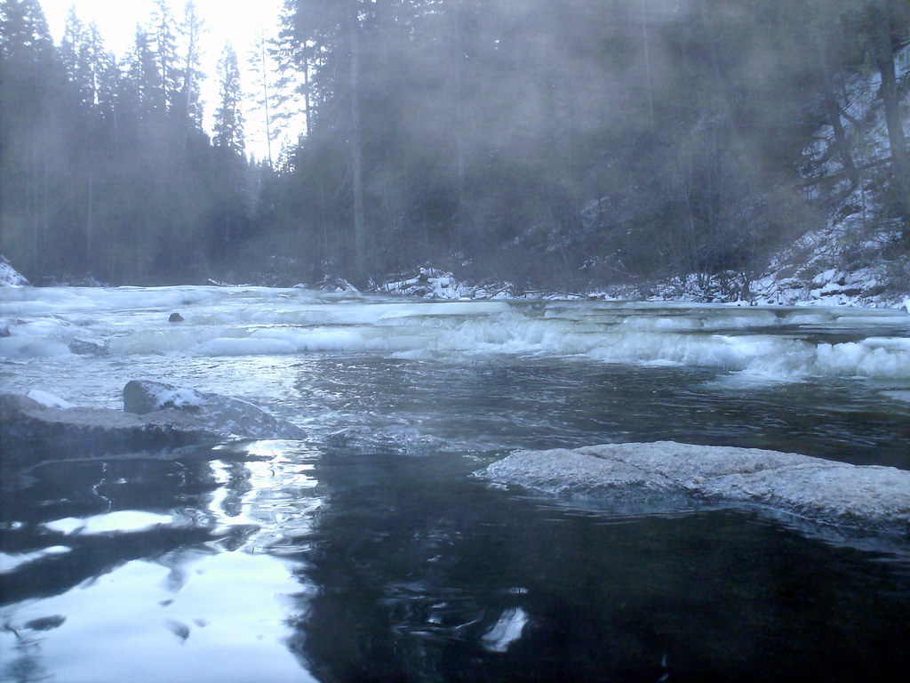 Nickel CreekHiking · ~10 min drivePhoto: Stupid Dingo, CC BY 2.0 (via Flickr)
- Warm Lake TrailHiking · ~4 min drive
- Needles Route Pack TrailHiking · ~13 min drive
- Dollar Creek RidgeHiking · ~8 min drivePhoto: Stupid Dingo, CC BY 2.0 (via Flickr)
- Kline Mountain TrailHiking · Next door
Best time to visit Kline Mountain South Trail
Best months: June–September. Best months have typical highs of 55–85 °F, lows of 30 °F or warmer (32 °F where the station doesn't record snow), at most one snowy day and no more than 12 wet days.
Jan
35° / 8°
Feb
36° / 12°
Mar
42° / 16°
Apr
49° / 22°
May
61° / 30°
Jun
70° / 35°
Jul
82° / 40°
Aug
81° / 38°
Sep
73° / 32°
Oct
57° / 26°
Nov
40° / 16°
Dec
31° / 9°
Typical high / low (°F) and days with rain or snow, 1991–2020. Measured at Deadwood Lodge, ID, 13.6 mi away at 5,948 ft. This station doesn't record snowfall. Source: NOAA NCEI U.S. Climate Normals 1991–2020.
Map and trail data © OpenStreetMap contributors
