Ten Mile Campground
Campground
Campground · 4.0 mi from the trail
Closure in the area
There's a closure order in Boise National Forest. It doesn't name Hoodoo Rabbit Trail, so check the source for the area it covers.
UPDATED Sept. 19 - Crooked Fire Area, Road, and Trail Closure
Agency closure covering Boise National Forest · Order 0402-03-140 · USFS · Boise National Forest
Lava Fire Road Closure
Agency alert covering Boise National Forest · Order 0402-06-84 · USFS · Boise National Forest
As of · Source: USFS · Boise National Forest. Agencies don't list every closure — check before you go.
Hoodoo Rabbit Trail is an easy, out-and-back hike in Idaho's Boise National Forest, on the Idaho City Ranger District. The route is short, about a mile long round trip, and sits at roughly 6,000 feet, with a high point of 6,045 feet and a low point of 5,737 feet. The trail is managed by the Forest Service and makes a quick addition to a day in the area. The climb is rolling, with a total elevation gain and loss of about 518 feet. The steepest stretch comes around 0.42 miles in, with a grade of about 22 percent. The round trip takes about half an hour. Several other trails start close by. Rabbit Creek Loop is about 0.8 miles away and Middle Rabbit Trail about 1.1 miles. Rabbit Creek is roughly 1.5 miles off. For an overnight stay, Bad Bear Campground lies about 4.2 miles away.
Ten Mile Campground
Campground
 If it rainsj.a.woodhouse from United States, CC BY 2.0 · Wikimedia Commons
Places © OpenStreetMap contributors, Places © Overture Maps Foundation · Photos: j.a.woodhouse from United States, CC BY 2.0 (commons)
More in Idaho CityNot on Roamze yet. Their page has how to reach them.
 Mores CreekCanoeingPhoto: U.S. Forest Service, Public domain (via Wikimedia Commons)6.9 mi
 Grimes CreekCanoeingPhoto: Rickmouser45, CC BY-SA 4.0 (via Wikimedia Commons)9.3 mi
Source: Roamze catalog (indexable pages within 10 miles, PostGIS distance)
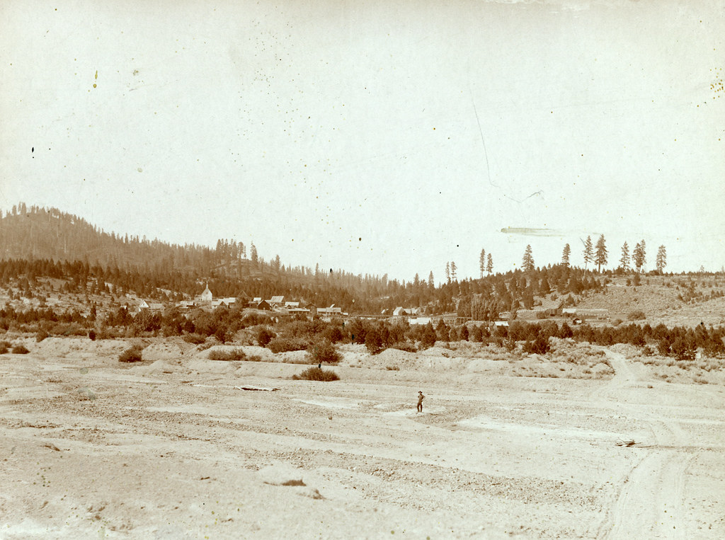 Granite Ck InterpretiveHiking · ~7 min drivePhoto: waterarchives, CC BY-SA 2.0 (via Flickr)
 Charcoal Gulch TrailHiking · ~12 min drivePhoto: Fokket, CC BY 2.0 (via Flickr)Steamboat TrailHiking · ~9 min drivePhoto: waterarchives, CC BY-SA 2.0 (via Flickr)UPPER MORES CREEKHiking · ~9 min drivePhoto: waterarchives, CC BY-SA 2.0 (via Flickr)
Map and trail data © OpenStreetMap contributors
