Harmony
- 4.8 mi
- round trip
- 2,659 ft
- climb
- 9,589 ft
- high point
- Out and back
- route
Is Harmony open right now?
Alert in the area
The Forest Service lists an alert for Salmon-Challis National Forest.
Stoddard Bridge Construction Closure
Agency alert covering Salmon-Challis National Forest · Order 0413-07-17 · USFS · Salmon-Challis National Forest
As of · Source: USFS · Salmon-Challis National Forest. Agencies don't list every closure — check before you go.
Harmony is a moderate hike of about 4.8 miles on the natural-surfaced trail in the Leadore Ranger District of Idaho's Salmon-Challis National Forest. The route is an out-and-back that climbs from a low point of about 6,919 feet to a high of about 9,589 feet, with an elevation gain of about 2,659 feet. The trail is open to both horses and bikes, which makes it a flexible option for riders and pack animals as well as hikers. The Forest Service manages the land. For another outing, Mulkey Creek lies about 2 miles away, and Little Mulkey is about 4.3 miles off. Shoup Bridge Campground and Williams Lake Campground are both within about 7 miles, so the hike pairs easily with an overnight stay.
Keep exploring — more trails worth the drive
 Photo: waterarchives, CC BY-SA 2.0 (via Flickr)
Lime Creek
~16 min drive
10.55-mile out-and-back trail in Idaho with 2,555 ft of elevation gain.
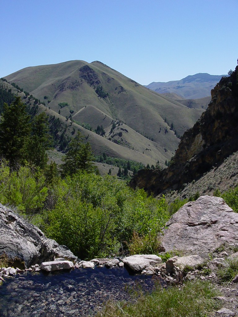 Photo: Ben B Miller, CC BY-SA 2.0 (via Flickr)
Goldbug Hot Springs Trail
~18 min drive
2.72-mile out-and-back hike in Idaho with 1,151 ft elevation gain and loss.
 Photo: WaterArchives.org from Sacramento, California, USA, CC BY-SA 2.0 (via Wikimedia Commons)
Lemhi RIver Trail
~18 min drive
0.84-mile out-and-back hike on Lemhi River Trail in Idaho with 57 ft of elevation gain.
HIKE
WARM SPRINGS-AGENCY LOOP WT
~23 min drive
32.22-mile out-and-back trail in Idaho with 4,600 ft elevation gain.
HIKE
MULKEY CREEK
~3 min drive
6.62-mile out-and-back trail in Idaho with 2,830 ft elevation gain
HIKE
BASIN CREEK
~19 min drive
2.88-mile out-and-back trail in Idaho with 1,050 ft gain and 8,944 ft max elevation.
Photo: WaterArchives.org from Sacramento, California, USA, CC BY-SA 2.0 (via Wikimedia Commons)Nature Trail
~18 min drive
0.84-mile out-and-back trail in Idaho with 51 ft of elevation gain.
HIKE
North Basin
~14 min drive
North Basin is an 11.71-mile out-and-back trail in Idaho with 1,275 feet of elevation gain.
HIKE
Lake Mountain
~22 min drive
4.07-mile out-and-back trail in Idaho with 209 ft gain and 1,873 ft loss.
Photo: WaterArchives.org from Sacramento, California, USA, CC BY-SA 2.0 (via Wikimedia Commons)Interpretive Trail
~19 min drive
0.9-mile out-and-back hike in Idaho with 86 ft of elevation gain.
Route details
- Distance
- 4.8 mi round trip
- Climbing
- About 2,659 ft
- Summit
- 9,596 ft
- Difficulty
- Moderate
Season
Season: Year-round.
Questions about this route
How long is the Harmony on Sal Mountain?
About 4.8 mi round trip.
How much elevation gain is on the Harmony?
About 2,659 ft of climbing round trip.
How hard is the Harmony?
It is rated moderate.
When is the best time for the Harmony?
Year-round.
Conditions and forecast on Sal Mountain
Daily highs and lows, wind and the chance of precipitation at the summit and route start for the next 7 days, from the Open-Meteo model.
