Granite Creek
- 3.9 mi
- round trip
- 3,759 ft
- climb
- 7,548 ft
- high point
- Out and back
- route
- Jun–Sep
- best months
Is GRANITE CREEK open right now?
Alert in the area
The Forest Service lists 5 alerts for Payette National Forest.
Over Snow Vehicle Closure (Forestwide)
Agency alert covering Payette National Forest · Order 0412-638 · USFS · Payette National Forest
Over Snow Vehicle Closure (Brundage Mountain Resort Snowcat Routes)
Agency alert covering Payette National Forest · Order 0412-637 · USFS · Payette National Forest
Lost Valley Log Hauling
Agency alert covering Payette National Forest · USFS · Payette National Forest
Over Snow Vehicle Closure (Granite Mountain)
Agency alert covering Payette National Forest · Order 0412-635 · USFS · Payette National Forest
Gordon Titus Upper Elevation Parking Lot Winter Restrictions
Agency alert covering Payette National Forest · Order 0412-543 · USFS · Payette National Forest
As of · Source: USFS · Payette National Forest. Agencies don't list every closure — check before you go.
Granite Creek is a hard hike in Idaho's Payette National Forest, within the Council Ranger District. The route is an out-and-back of about 7.7 miles, with a total elevation gain of 3,759 feet. The climb is front-loaded, and the steepest stretch comes at about 2.5 miles, where the grade reaches 31 percent. The trail starts at 5,310 feet and reaches a high point of 7,548 feet. Summer is the most comfortable time to go. Typical averages from a nearby weather station at Deadwood Lodge, which sits about 1,600 feet lower, show July highs around 82°F with lows near 40°F. That station's figures are not directly comparable to conditions on the trail, which sits higher. The hike takes about 4.5 hours. The Granite Creek Trail, Sheep Creek Trail and Deseret Cabin Trail all lie about 2.8 miles away. For an overnight base, Rainbow Point campground is about 4.7 miles off.
Local outfitters
- Black Bear RV Park13 mi away
- Arrowhead RV Park18 mi away
Not on Roamze yet. Their page has how to reach them.
- Granite Creek TrailHiking2.8 mi
- Sheep Creek TrailHiking2.8 mi
- Deseret Cabin TrailHiking2.8 mi
- COUNCIL MOUNTAIN SPURHiking3.5 mi
 Rainbow PointCampingPhoto: Recreation.gov (RIDB) / public domain4.7 mi
- Amanita CampgroundCamping4.8 mi
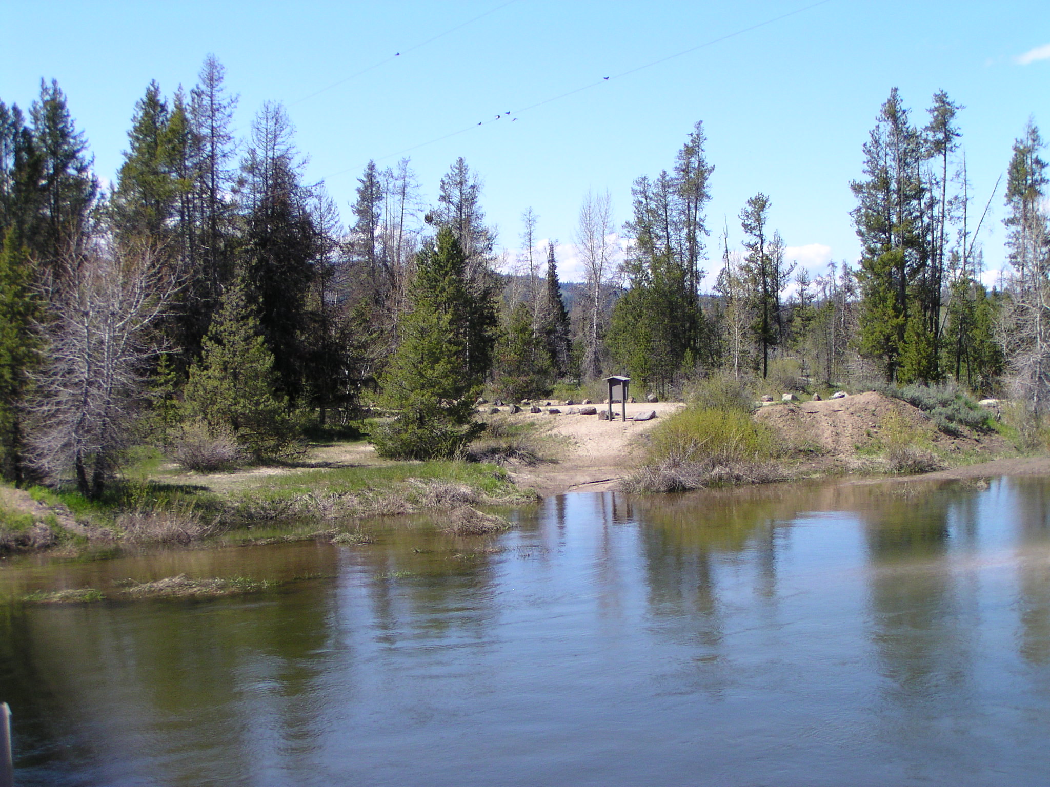 North Fork Payette Rec SiteRiver fishing5.7 mi
- Cabin CreekCamping5.8 mi
Source: Roamze catalog (indexable pages within 10 miles, PostGIS distance)
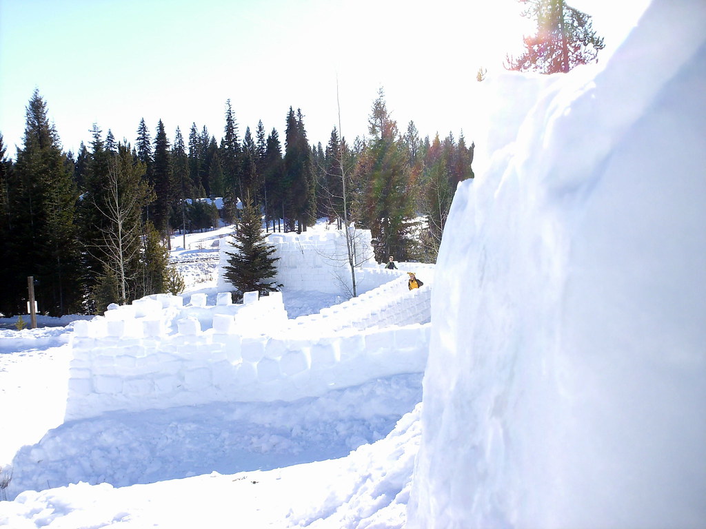 Peninsula TrailHiking · ~26 min drivePhoto: Stupid Dingo, CC BY 2.0 (via Flickr)
- Deseret Cabin TrailHiking · ~5 min drive
- Council Mountain TrailHiking · ~8 min drive
- Cold Spring TrailHiking · ~10 min drive
- COUNCIL MOUNTAIN SPURHiking · ~6 min drive
- POISON CREEKHiking · ~11 min drive
- COUNCIL MOUNTAINHiking · ~10 min drive
- Little Weiser RiverHiking · ~22 min drive
- Boulder Creek TrailHiking · ~13 min drive
- Warm Spring CreekHiking · ~12 min drive
Best time to visit GRANITE CREEK
Best months: June–September. Best months have typical highs of 55–85 °F, lows of 30 °F or warmer (32 °F where the station doesn't record snow), at most one snowy day and no more than 12 wet days.
Jan
35° / 8°
Feb
36° / 12°
Mar
42° / 16°
Apr
49° / 22°
May
61° / 30°
Jun
70° / 35°
Jul
82° / 40°
Aug
81° / 38°
Sep
73° / 32°
Oct
57° / 26°
Nov
40° / 16°
Dec
31° / 9°
Typical high / low (°F) and days with rain or snow, 1991–2020. Measured at Deadwood Lodge, ID, 36.6 mi away at 5,948 ft. The station sits about 1,600 ft lower than this place, so expect it a little cooler here. This station doesn't record snowfall. Source: NOAA NCEI U.S. Climate Normals 1991–2020.
Closures we've recorded since August 2026
Over Snow Vehicle Closure (Forestwide)
Payette National Forest · Order dated November 2, 2026; seen Nov 10, 2026, no lift recorded · Forest Service
