Boulder Creek Trail
- 0.4 mi
- round trip
- 44 ft
- climb
- 4,855 ft
- high point
- Out and back
- route
- Jun–Sep
- best months
Boulder Creek Trail is a short, easy out-and-back hike in Idaho, about 0.3 miles from the town of Donnelly. The trail is only about 0.7 miles long, and the climb is nearly flat, with a total gain of about 44 feet from the start at roughly 4,854 feet to a high point of about 4,855 feet. That makes it a quick stop for anyone passing through town. Summer is the most comfortable time to go. Typical averages from a nearby weather station in McCall show July and August highs around 81°F with only about four wet days a month, while winter highs stay near freezing. The trip takes about half an hour, so it works well as a short break before or after exploring the surrounding area. Rainbow Point and Amanita Campground are both about 3.5 miles away, and the North Fork Payette Rec Site offers river fishing about 5.4 miles off.
Local outfitters
- Black Bear RV Park11 mi away
- Arrowhead RV Park15 mi away
Not on Roamze yet. Their page has how to reach them.
 Rainbow PointCampingPhoto: Recreation.gov (RIDB) / public domain3.5 mi
- Amanita CampgroundCamping3.6 mi
- Dirty BlondeMountain biking4.8 mi
- Show-LowMountain biking4.9 mi
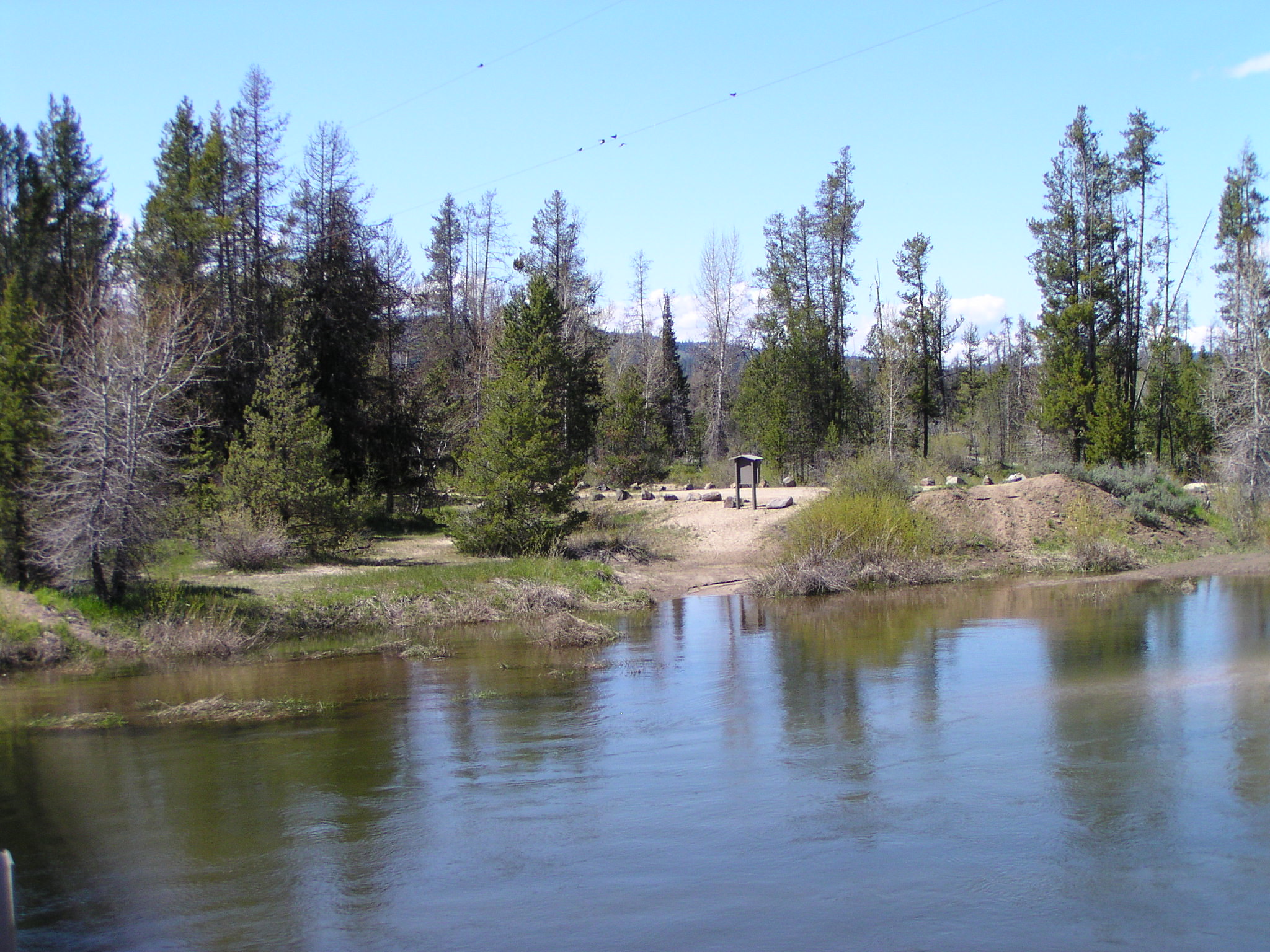 North Fork Payette Rec SiteRiver fishing5.4 mi
- Gold Fork RiverCanoeing5.8 mi
- The PinsRock climbing9.6 mi
- Jug Handle BoulderingRock climbing9.8 mi
Source: Roamze catalog (indexable pages within 10 miles, PostGIS distance)
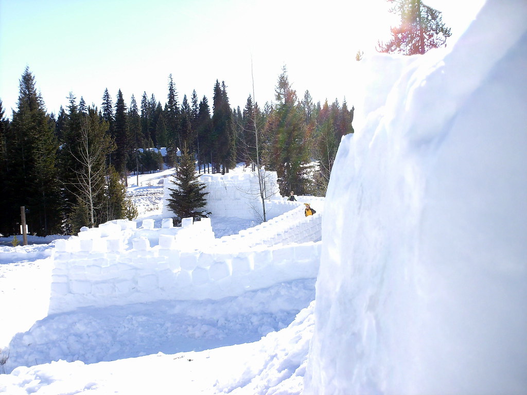 Peninsula TrailHiking · ~24 min drivePhoto: Stupid Dingo, CC BY 2.0 (via Flickr)
- POISON CREEKHiking · ~11 min drive
- GRANITE CREEKHiking · ~13 min drive
- COUNCIL MOUNTAINHiking · ~19 min drive
- Arlin Place TrailHiking · ~13 min drive
- GREEN MOUNTAINHiking · ~16 min drive
- South Gold ForkHiking · ~17 min drive
- Council Mountain TrailHiking · ~21 min drive
- Ve TrailHiking · ~14 min drive
- Deseret Cabin TrailHiking · ~17 min drive
Best time to visit Boulder Creek Trail
Best months: June–September. Best months have typical highs of 55–85 °F, lows of 30 °F or warmer (32 °F where the station doesn't record snow), at most one snowy day and no more than 12 wet days.
Jan
31° / 13°
15 wet
Feb
35° / 15°
13 wet
Mar
42° / 21°
16 wet
Apr
50° / 28°
13 wet
May
61° / 36°
13 wet
Jun
69° / 42°
10 wet
Jul
81° / 47°
4 wet
Aug
81° / 45°
4 wet
Sep
71° / 38°
6 wet
Oct
56° / 29°
9 wet
Nov
40° / 21°
13 wet
Dec
30° / 14°
15 wet
Typical high / low (°F) and days with rain or snow, 1991–2020. Measured at Mccall Ap, ID, 11 mi away at 5,013 ft. This station doesn't record snowfall. Source: NOAA NCEI U.S. Climate Normals 1991–2020.
Map and trail data © OpenStreetMap contributors
