Glover Campground
Campground
Campground · < 0.1 mi from the trail
Closure in the area
There's a closure order in Nez Perce-Clearwater National Forest. It doesn't name West Glover Trail, so check the source for the area it covers.
Updated 250 Road Closure
Agency closure covering Nez Perce-Clearwater National Forest · USFS · Nez Perce-Clearwater National Forest
Selway Falls Campground Closure
Agency alert covering Moose Creek Ranger District · Order 01-17-06-26-003 · USFS · Moose Creek Ranger District
O'Hara Beach Area Closure
Agency alert covering Moose Creek Ranger District · Order 01-17-06-26-00 · USFS · Moose Creek Ranger District
Laird Park Water Unavailable For 2026 Season
Agency alert covering Nez Perce-Clearwater National Forest · USFS · Nez Perce-Clearwater National Forest
As of · Source: USFS · Nez Perce-Clearwater National Forest. Agencies don't list every closure — check before you go.
West Glover Trail is an expert-level out-and-back hike in the Moose Creek Ranger District of Idaho's Nez Perce-Clearwater National Forest, about 12 miles from the town of Lowell. The trail is roughly 10 miles long, with a total elevation gain of about 5,200 feet, and it reaches a high point of 6,757 feet. The route is rolling, but it gets steep around the 4.3-mile mark, where the grade reaches about 47%. That makes it a serious climb for anyone heading up, and the same amount of descent comes back on the way down. Summer is the most comfortable time to go. Typical averages from a nearby weather station at a similar elevation show July and August highs around 76°F with lows in the upper 30s. That station sits about 1,000 feet lower than the trail's high point, so temperatures up top run cooler. Glover Creek campground sits just 0.1 mile from the trail. The 23 Mile Trail is about 2.4 miles away, and Boyd Creek campground and the East Boyd-Glover Roundtop NRT are each about 4 miles off.
Glover Campground
Campground
Elk City Reno Club - Elk City Burger Bar
Burger restaurant
Martin Hot Springs
Hot spring
Places © OpenStreetMap contributors, Places © Overture Maps Foundation
More in Elk CityDaily highs and lows, wind and the chance of precipitation at the summit and route start for the next 7 days, from the Open-Meteo model.
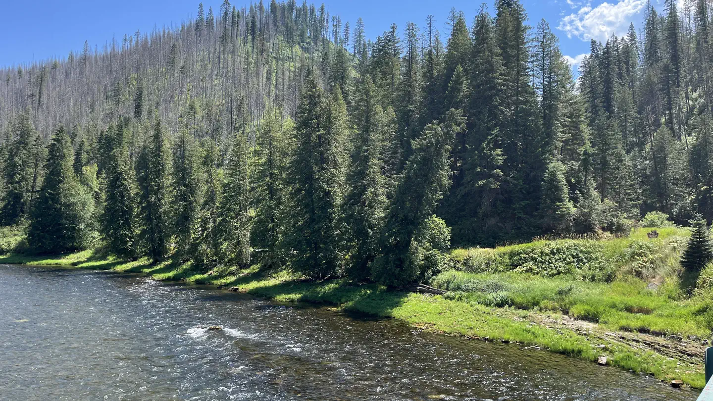 OharaRiver fishing7.4 mi
Source: Roamze catalog (indexable pages within 10 miles, PostGIS distance)
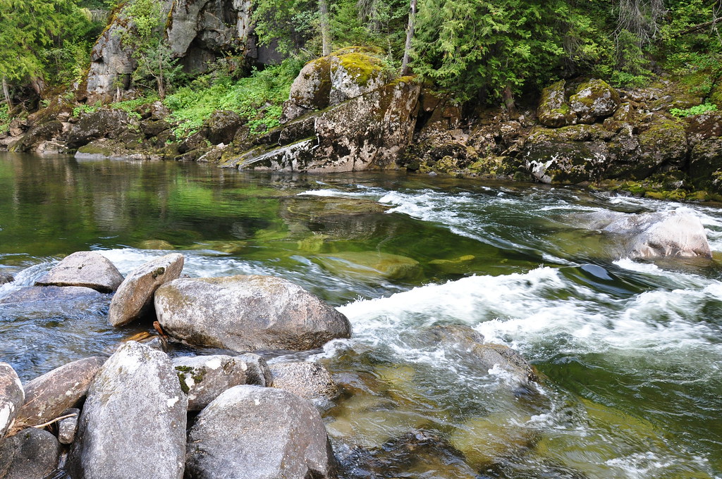 Selway River TrailHiking · ~15 min drivePhoto: araddon, CC BY 2.0 (via Flickr)CUPBOARD CREEKHiking · ~15 min drivePhoto: araddon, CC BY 2.0 (via Flickr)
Best months: June–August. Best months have typical highs of 55–85 °F, lows of 30 °F or warmer (32 °F where the station doesn't record snow), at most one snowy day and no more than 12 wet days.
Jan
31° / 5°
Feb
33° / 8°
Mar
38° / 13°
Apr
46° / 20°
May
57° / 28°
Jun
64° / 35°
Jul
76° / 39°
Aug
76° / 36°
Sep
65° / 31°
Oct
52° / 24°
Nov
36° / 14°
Dec
28° / 5°
Typical high / low (°F) and days with rain or snow, 1991–2020. Measured at Dixie N, ID, 34.8 mi away at 5,740 ft. The station sits about 1,000 ft lower than this place, so expect it a little cooler here. This station doesn't record snowfall. Source: NOAA NCEI U.S. Climate Normals 1991–2020.
About 5.0 mi round trip.
About 5,204 ft of climbing round trip.
It is rated expert.
About 4 hours round trip.
Map and trail data © OpenStreetMap contributors
