Cougar Saddle
- 4.1 mi
- round trip
- 1,775 ft
- climb
- 7,677 ft
- high point
- Out and back
- route
Is Cougar Saddle open right now?
Alert in the area
The Forest Service lists 5 alerts for Payette National Forest.
Over Snow Vehicle Closure
Agency alert covering Payette National Forest · Order 0412-638 · USFS · Payette National Forest
Brundage Mountain Resort Snowcat Route Closure
Agency alert covering Payette National Forest · Order 0412-637 · USFS · Payette National Forest
Lost Valley Log Hauling
Agency alert covering Payette National Forest · USFS · Payette National Forest
Granite Mountain Over Snow Vehicle Closure
Agency alert covering Payette National Forest · Order 0412-635 · USFS · Payette National Forest
Gordon Titus Upper Elevation Parking Lot Winter Restrictions
Agency alert covering Payette National Forest · Order 0412-543 · USFS · Payette National Forest
As of · Source: USFS · Payette National Forest. Agencies don't list every closure — check before you go.
Cougar Saddle is a hard hike in the McCall Ranger District of Idaho's Payette National Forest, about 4 miles from the district's boundaries. The trail is an out-and-back that climbs from about 5,900 feet to about 7,700 feet, with a total gain of roughly 1,800 feet. The trail is natural-surface and accessible, and it allows both horses and bikes. The Forest Service lists it as accessible, so it works for riders and pack animals as well as hikers. For more time in the area, Kennally Creek Campground sits about 4 miles away, and the East Fork Kennally Creek hike is about 2.5 miles off. Needles Summit is about 3.5 miles away, and the Jug Handle Bouldering climbing area is about 6 miles away.
Local outfitters
- Black Bear RV Park13 mi away
- Arrowhead RV Park24 mi away
Not on Roamze yet. Their page has how to reach them.
Keep exploring — more trails worth the drive
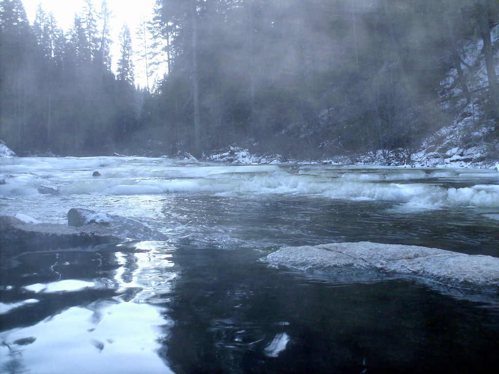 Photo: Stupid Dingo, CC BY 2.0 (via Flickr)
Nickel Creek
~18 min drive
1.50-mile out-and-back trail in Idaho with 192 ft of elevation gain.
Photo: Stupid Dingo, CC BY 2.0 (via Flickr)Dollar Creek Ridge
~18 min drive
11.20-mile out-and-back trail on Dollar Creek Ridge with 3,248 ft gain
HIKE
EAST FORK KENNALLY CREEK
~4 min drive
1.76-mile out-and-back trail in Idaho with 1,390 ft elevation gain and loss.
HIKE
BLACKMARE CREEK
~12 min drive
14.5-mile out-and-back trail in Idaho with 5,633 ft elevation gain.
HIKE
Fogg Lake
~6 min drive
0.97-mile out-and-back trail to Fogg Lake in Idaho.
HIKE
Needles Summit
~6 min drive
9.32-mile out-and-back trail in Idaho with 1,778 ft elevation gain.
HIKE
GREEN MOUNTAIN
~7 min drive
5.72-mile out-and-back trail in Idaho with 1,611 ft elevation gain and loss.
HIKE
Indian Ridge Trail
~19 min drive
37.26-mile out-and-back trail in Idaho with 8,880 ft elevation gain and loss.
HIKE
Square Top
~10 min drive
2.03-mile out-and-back trail in Idaho with 264 ft gain.
HIKE
South Fork Buckhorn Creek
~7 min drive
16.10-mile out-and-back trail in Idaho with 4,167 ft elevation gain.

