

Village of Trees RV Resort
Hiking business nearby (~33 mi away) — hasn't claimed their Roamze page yet
City of Rocks National Reserve, the California Trail
Free — you'll pick up right here.
Watch this trail
Sign up to watch it — saving subscribes you to gate, closure and report changes.
Idaho
Weather is good
1 factor · 1 source
Observed 23 h ago
clear: Weather
Clouds, high 65°F / low 42°F, 0% precip — 95/100 for hike
OpenWeather23 h ago
Been out here in the last few days? One report keeps this current for everyone.
City of Rocks National Reserve, the California Trail
AI-suggested draft · review before you go
No elevation data on file for this trail.
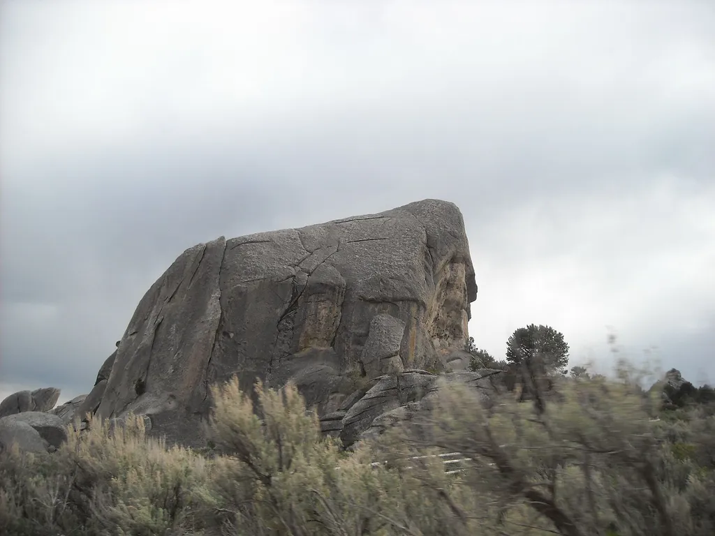
Although there may have been some visitation to the area by Europeans and Americans during the fur trade and exploration-era, the establishment of the California Trail through the City of Rocks is what brought the first significant number of European-Americans to what is now the Reserve. The City of Rocks National Reserve is a National Historic Landmark associated with the mass overland westward migration. Emigrants traveling the California Trail would reach Circle Creek in the City of Rocks and nooned or camped. Some of these emigrants left their names on the rocks along the trail within the Reserve. Emigrant Remarks "Last eve went to the City rocks. They are at the junction of the California & Salt Lake roads. They are white & about 300 ft high running up to a peak. They are composed of a substance resembling salts & are in a state of decomposition. A few more years & then will be leveled with the ground. They look at a distance like a ruined city." - Lucena Parsons - April 23, 1850 Site Information Location (Near Almo, Idaho) Safety Considerations City of Rocks National Reserve California National Historic Trail
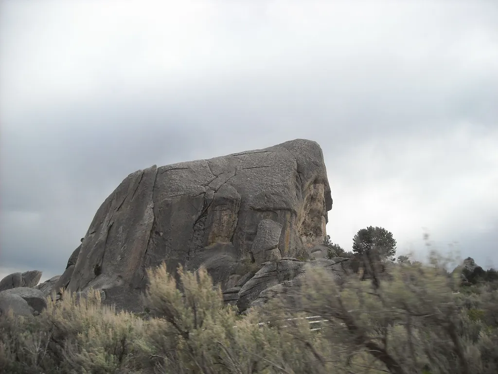
Geological Interpretive Trail - 1 mile
~5 min drive
Have you ever visited City of Rocks and wondered, “How did this happen?” or “Why do the rocks look like this?” The Geological Interpretive Trail is the perfect short hike to: see fascinating geological formations up close examine the difference between the Green Creek Comple…
Independence Lakes
~14 min drive
Moderate 9-mile alpine lake hike with 1,659 ft elevation gain.
Cold Springs Creek
~20 min drive
Easy creek-side walk through Idaho backcountry with minimal elevation gain.
Lake Cleveland
~27 min drive
Easy 2.2-mile lakeside walk with minimal elevation gain.
Flaming Rock Trailhead Rest Area
~7 min drive
Vault toilet located near Flaming Rock Trail-Head.
Ranger
~15 min drive
Remote 20-mile backcountry trail with steady elevation gain and wilderness solitude.
Thompson Flat
~28 min drive
Moderate 3.66-mile foothill hike with 757 ft elevation gain near Thompson Flat.
Howell Canyon Trail
~28 min drive
Easy 2.3-mile canyon walk with minimal elevation gain.
Window Arch Trail - 250 feet
~8 min drive
Located behind campsite 37, this short walk leads to the impressive Window Arch which spans over 20 feet. Windows, bathtubs, and caves sculpted by forces of erosion, are featured here along with spectacular views of the “Inner City”.
Fairchild Creek
~22 min drive
Challenging 18.81-mile creek drainage hike with 2,668 ft elevation gain.
Local operatorsoffering guided trips. You book directly with them — Roamze doesn’t take a cut.
Village of Trees RV Resort
Hiking business nearby (~33 mi away) — hasn't claimed their Roamze page yet