Prairie Campground
Campground
Campground · 4.5 mi from the trail
Caution at last check
Agency alerts are in effect for this area; weather is good · USFS, OpenWeather · checked 18 h ago
Alert in the area
The Forest Service lists 4 alerts for Sawtooth National Forest.
Paradise Prescribed Burn Restricted Access
Agency alert covering Sawtooth National Forest · USFS · Sawtooth National Forest
Grandjean Area, Road, and Trail Closure
Agency alert covering Sawtooth National Forest · Order 0414-04-165 · USFS · Sawtooth National Forest
Over-Snow Vehicle and Bicycle Prohibitions
Agency alert covering Sawtooth National Forest · Order 0414-00-028 · USFS · Sawtooth National Forest
Occupancy and Use - Food Storage
Agency alert covering Sawtooth National Forest · Order 0414-04-143 · USFS · Sawtooth National Forest
As of · Source: USFS · Sawtooth National Forest. Agencies don't list every closure — check before you go.
Boulder is a short, easy out-and-back hike in Idaho's Sawtooth National Recreation Area, part of the Sawtooth National Forest. The trail is about a mile long, with a one-way climb of roughly 580 feet from a low point of 9,670 feet to a high of 10,254 feet. The Forest Service manages the land, and the route is natural-surfaced and open year-round. Bikes are allowed, so the trail works for a ride as well as a walk. The climb is gentle, and the route is short enough to fit into a day of exploring the surrounding area. Billy Goat Buttress, a climbing area, sits about 2.4 miles away. Amber Gulch and West Fork-North Fork are both hikes within about 3.6 miles. For an overnight stay, Wood River Campground is about 4.6 miles off.
Prairie Campground
Campground
The Sun Valley Club
Restaurant
Sun Valley Museum of Art
Museum
Places © OpenStreetMap contributors
More in KetchumNot on Roamze yet. Their page has how to reach them.
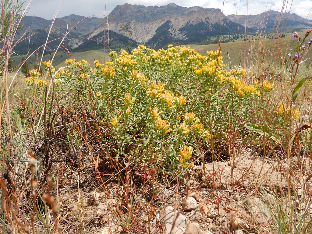 Photo: Matt Lavin, CC BY-SA 2.0 (via Flickr)
NORTH LOOP SKI
~7 min drive
4.72-mile out-and-back ski trail in Idaho with 523 ft elevation gain
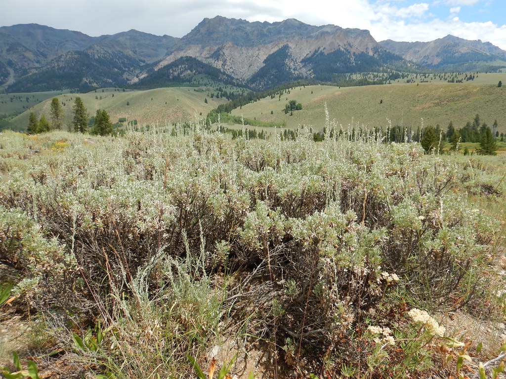 Photo: Matt Lavin, CC BY-SA 2.0 (via Flickr)
PRAIRIE CREEK LOOP SKI
~8 min drive
7.7-mile out-and-back ski trail in Idaho with 818 ft elevation gain and loss.
 Photo: Matt Lavin, CC BY-SA 2.0 (via Flickr)
Easley Gulch Aka Curlies
~8 min drive
6.16-mile out-and-back trail in Idaho with 1,518 ft elevation gain.
 Photo: U.S. Forest Service employees, Public domain (via Wikimedia Commons)
SILVER CREEK LOOP
~8 min drive
15.1-mile out-and-back trail in Idaho with 3,909 ft elevation gain
 Photo: DieselDemon, CC BY 2.0 (via Flickr)
SOUTH BOULDER LOOP
~8 min drive
2.27-mile loop trail in Idaho with 249 ft gain and 274 ft loss.
HIKE
KING CREEK NORTH
~9 min drive
2.48-mile out-and-back trail in Idaho with 1,056 ft elevation gain.
 Photo: Fredlyfish4 at English Wikipedia, Public domain (via Wikimedia Commons)
BAKER CREEK
~8 min drive
18.98-mile out-and-back trail in Idaho with 1,665 ft elevation gain
Photo: Matt Lavin, CC BY-SA 2.0 (via Flickr)PRAIRIE CREEK CONNECTOR SKI
~8 min drive
1.52-mile out-and-back ski trail in Idaho with 150 ft elevation gain
HIKE
East Fork
~9 min drive
6.73-mile out-and-back trail in Idaho with 1,929 ft elevation gain.
HIKE
West Fork-North Fork
~6 min drive
8-mile out-and-back trail in Idaho with 765 ft elevation gain.

