Big Creek Summit
- 6.5 mi
- round trip
- 1,074 ft
- climb
- 7,758 ft
- high point
- Out and back
- route
Caution at last check
Agency alerts are in effect for this area; weather is marginal · USFS, OpenWeather · checked 18 h ago
Is Big Creek Summit open right now?
Closure in the area
There's a closure order in Boise National Forest. It doesn't name Big Creek Summit, so check the source for the area it covers.
UPDATED Sept. 19 - Crooked Fire Area, Road, and Trail Closure
Agency closure covering Boise National Forest · Order 0402-03-140 · USFS · Boise National Forest
Lava Fire Road Closure
Agency alert covering Boise National Forest · Order 0402-06-84 · USFS · Boise National Forest
As of · Source: USFS · Boise National Forest. Agencies don't list every closure — check before you go.
Big Creek Summit is a 6.5-mile out-and-back hike in Idaho's Boise National Forest, within the Cascade Ranger District. The trail rises from about 6,510 feet to the summit's 7,758 feet, with a total elevation gain of 1,074 feet. The Forest Service manages the land, and the route is marked as a hard hike. The trail is open year-round, and the trailhead parking is named Big Creek Summit Trailhead. The route is natural-surfaced and allows both horses and bikes, so riders and pack animals can make the trip together. Two other trails start close by. The Needles Route Pack Trail lies about 0.7 miles away, and the South Fork Gold Fork is about 0.9 miles off. Paddlers can head to the North Fork Gold Fork River, roughly 3.3 miles away, and climbers will find The Pins about 5.4 miles from the summit.
Local outfitters
- Arrowhead RV Park14 mi away
- Black Bear RV Park21 mi away
Not on Roamze yet. Their page has how to reach them.
- Needles Route Pack TrailHiking0.7 mi
- South Fork Gold ForkHiking0.9 mi
- North Fork Gold Fork RiverCanoeing3.3 mi
- The PinsRock climbing5.4 mi
- Pins And Needles (McCall Area)Rock climbing5.7 mi
- Sloans CreekCanoeing7.2 mi
- Picnic Point (id)Camping7.5 mi
- Picnic Point CampgroundCamping7.6 mi
Source: Roamze catalog (indexable pages within 10 miles, PostGIS distance)
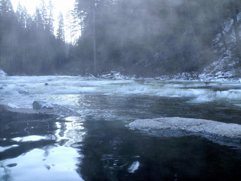 Dollar Creek RidgeHiking · ~12 min drivePhoto: Stupid Dingo, CC BY 2.0 (via Flickr)
 Vulcan Hot SpringsHiking · ~15 min drivePhoto: Stupid Dingo, CC BY 2.0 (via Flickr)
- Needles Route Pack TrailHiking · ~1 min drive
- South Fork Gold ForkHiking · ~2 min drive
- WewukiyeHiking · ~14 min drivePhoto: Stupid Dingo, CC BY 2.0 (via Flickr)
- Nickel CreekHiking · ~15 min drivePhoto: Stupid Dingo, CC BY 2.0 (via Flickr)
- CURTIS CREEKHiking · ~13 min drive
- Kline Mountain LoopHiking · ~12 min drive
- WEST SIDE WARM LAKEHiking · ~15 min drivePhoto: Stupid Dingo, CC BY 2.0 (via Flickr)
- Kline Mountain North TrailHiking · ~11 min drive
