Bench Creek-Stanley Creek Trail
- 3.8 mi
- round trip
- 2,586 ft
- climb
- 8,359 ft
- high point
- Out and back
- route
Is Bench Creek-Stanley Creek Trail open right now?
Alert in the area
The Forest Service lists 4 alerts for Sawtooth National Forest.
Paradise Prescribed Burn Restricted Access
Agency alert covering Sawtooth National Forest · USFS · Sawtooth National Forest
Grandjean Area, Road, and Trail Closure
Agency alert covering Sawtooth National Forest · Order 0414-04-165 · USFS · Sawtooth National Forest
Over-Snow Vehicle and Bicycle Prohibitions
Agency alert covering Sawtooth National Forest · Order 0414-00-028 · USFS · Sawtooth National Forest
Occupancy and Use - Food Storage
Agency alert covering Sawtooth National Forest · Order 0414-04-143 · USFS · Sawtooth National Forest
As of · Source: USFS · Sawtooth National Forest. Agencies don't list every closure — check before you go.
Bench Creek-Stanley Creek Trail is a hard hike in Idaho's Sawtooth National Recreation Area, part of the Sawtooth National Forest managed by the Forest Service. The trail is an out-and-back route of about 7.5 miles, with a total elevation gain of 2,586 feet. The one-way climb is 1,689 feet, and the trail starts at about 6,816 feet, rising to a high point of 8,359 feet. The steepest stretch comes early, around 0.39 miles from the start, with a grade of about 29 percent. The climb is rolling, so the grade eases after that, but the total gain and loss are both about 2,586 feet for the round trip. For a base, Stanley Lake Campground is about 3.9 miles away, and Trap Creek Campground is about 4.8 miles away. Elk Mountain Trail is about 1.8 miles off, and Alpine Way Trail is about 2.5 miles away.
Local outfitters
- Camp Perkins27 mi away
- The Sawmill Station33 mi away
Not on Roamze yet. Their page has how to reach them.
- Elk Mointain TrailHiking1.8 mi
 Alpine Way TrailHikingPhoto: Fredlyfish4 at English Wikipedia, Public domain (via Wikimedia Commons)2.5 mi
- ELK MOUNTAINHikingPhoto: Fredlyfish4 at English Wikipedia, Public domain (via Wikimedia Commons)2.5 mi
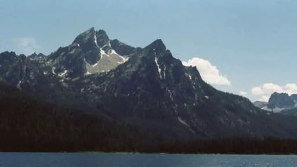 Stanley Lake CampgroundCampingPhoto: Recreation.gov (RIDB) / public domain3.9 mi
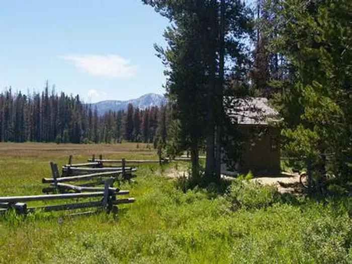 Trap Creek CampgroundCampingPhoto: Recreation.gov (RIDB) / public domain4.8 mi
- Sheep Trail CampgroundCamping5.2 mi
- Valley CreekCanoeing6.8 mi
- Marsh CreekCanoeing8.3 mi
Source: Roamze catalog (indexable pages within 10 miles, PostGIS distance)
- Alpine Way TrailHiking · ~4 min drivePhoto: Fredlyfish4 at English Wikipedia, Public domain (via Wikimedia Commons)
- ELK MOUNTAINHiking · ~4 min drivePhoto: Fredlyfish4 at English Wikipedia, Public domain (via Wikimedia Commons)
- Iron Creek-Stanley Lake TrailHiking · ~5 min drivePhoto: Fredlyfish4 at English Wikipedia, Public domain (via Wikimedia Commons)
- Trail Creek TrailHiking · ~12 min drive
 ELK MOUNTAIN CUTOFFHiking · ~7 min drivePhoto: Argyleist from Sugarhood, Utah, USA, CC BY 2.0 (via Wikimedia Commons)
 ELK MOUNTAIN LOOKOUTHiking · ~6 min drivePhoto: Stephen Hanafin from Twin Falls, ID, United States, CC BY-SA 2.0 (via Wikimedia Commons)
 SEGO LOOP SKIHiking · ~7 min drivePhoto: treegrow, CC BY 2.0 (via Flickr)
- Kirkham RidgeHiking · ~13 min drive
- Iron Lola Creek TrailHiking · ~5 min drive
- Observation PeakHiking · ~10 min drive
Also worth it near here


Map and trail data © OpenStreetMap contributors
