Beaver Creek
- 10.5 mi
- round trip
- 5,131 ft
- climb
- 8,257 ft
- high point
- Out and back
- route
Is Beaver Creek open right now?
Alert in the area
The Forest Service lists 5 alerts for Payette National Forest.
Over Snow Vehicle Closure
Agency alert covering Payette National Forest · Order 0412-638 · USFS · Payette National Forest
Brundage Mountain Resort Snowcat Route Closure
Agency alert covering Payette National Forest · Order 0412-637 · USFS · Payette National Forest
Lost Valley Log Hauling
Agency alert covering Payette National Forest · USFS · Payette National Forest
Granite Mountain Over Snow Vehicle Closure
Agency alert covering Payette National Forest · Order 0412-635 · USFS · Payette National Forest
Gordon Titus Upper Elevation Parking Lot Winter Restrictions
Agency alert covering Payette National Forest · Order 0412-543 · USFS · Payette National Forest
As of · Source: USFS · Payette National Forest. Agencies don't list every closure — check before you go.
Beaver Creek is a hard hike in Idaho's Frank Church-River of No Return Wilderness, within the McCall Ranger District of the Payette National Forest. The trail is an out-and-back that starts at about 8,246 feet and climbs to a high point of 8,257 feet, with a total elevation gain of 5,131 feet over the course of the trip. The steepest stretch comes at about 2.8 miles in, where the grade reaches 31 percent. The route is rated hard, and the climb is steep. Horses are allowed, and the trail surface is natural. Bikes are not. The trip is estimated to take about six hours, and the trail is open year-round. The South Fork Chamberlain Creek hike lies just 0.1 mile away, and Crane Meadows and Boulder Creek are both about 2.3 miles off. For an overnight base, Big Creek campground is roughly 9.8 miles away.
Local outfitters
- Black Bear RV Park43 mi away
Not on Roamze yet. Their page has how to reach them.
Keep exploring — more trails worth the drive
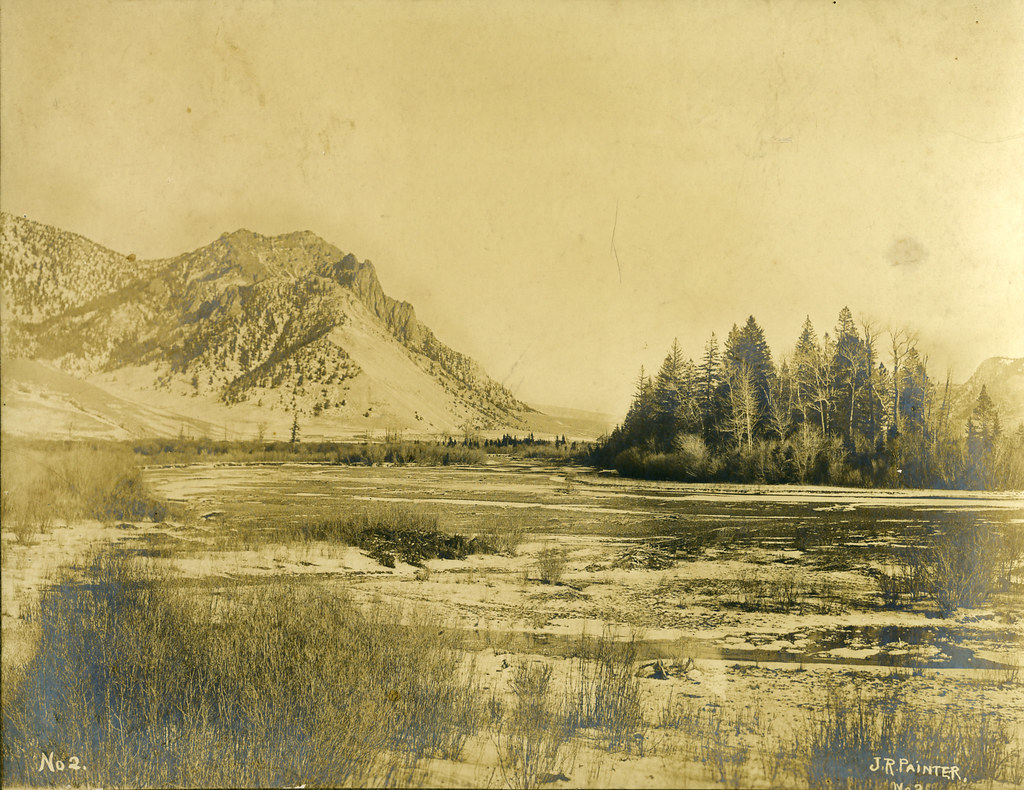 Photo: waterarchives, CC BY-SA 2.0 (via Flickr)
Salmon River Trail East
~19 min drive
20.34-mile out-and-back trail in Idaho with 4,970 ft elevation gain/loss.
HIKE
Crane Meadows
~4 min drive
9.16-mile out-and-back trail in Idaho with 337 ft gain.
HIKE
Rock Rabbit
~11 min drive
Rock Rabbit is an 8.24-mile out-and-back trail in Idaho with 28 feet of elevation gain.
HIKE
Fishlake
~15 min drive
3.70-mile out-and-back trail in Idaho with 710 ft elevation gain.
Photo: waterarchives, CC BY-SA 2.0 (via Flickr)Painter Trail #213
~20 min drive
7.9-mile out-and-back trail in Idaho with 5,072 ft gain and 5,887 ft max elevation.
HIKE
Boulder Creek
~4 min drive
7.41-mile out-and-back trail in Idaho with 534 ft gain.
HIKE
NORTH FK LOGAN CREEK
~17 min drive
1.96-mile out-and-back trail in Idaho with 1,409 ft gain/loss
HIKE
SOUTH FORK CHAMBERLAIN CREEK
Next door
18.48-mile out-and-back trail in Idaho with 2,675 ft elevation gain/loss.
HIKE
Rim
~7 min drive
Rim is a 12.95-mile out-and-back trail in Idaho with 875 feet of elevation gain.
HIKE
RAINES CREEK/SLAUGHTER GULCH
~23 min drive
8.36-mile out-and-back trail in Idaho with 2,299 ft elevation gain and loss.
Also worth it near here
