Arlington Ridge Trail
- 9.3 mi
- round trip
- 7,102 ft
- climb
- 8,084 ft
- high point
- Out and back
- route
Is Arlington Ridge Trail open right now?
Closure in the area
There's a closure order in Nez Perce-Clearwater National Forest. It doesn't name Arlington Ridge Trail, so check the source for the area it covers (2 listed).
Updated 250 Road Closure
Agency closure covering Nez Perce-Clearwater National Forest · USFS · Nez Perce-Clearwater National Forest
Red River Ranger District Road Closures
Agency closure covering Red River Ranger District · Order 01-17-05-26-002 · USFS · Red River Ranger District
NFSR #1803 Road Closure
Agency alert covering Red River Ranger District · Order 01-17-05-26-001 · USFS · Red River Ranger District
Laird Park Water Unavailable For 2026 Season
Agency alert covering Nez Perce-Clearwater National Forest · USFS · Nez Perce-Clearwater National Forest
As of · Source: USFS · Nez Perce-Clearwater National Forest. Agencies don't list every closure — check before you go.
Arlington Ridge Trail is a 9.26-mile out-and-back hike in Idaho's Gospel-Hump Wilderness, part of the Red River Ranger District of the Nez Perce-Clearwater National Forest. The Forest Service manages the land, and the route climbs from about 2,326 feet to 8,084 feet before returning the same way. The trail is rated expert, and the climb is front-loaded. The steepest stretch comes early on, with a 33% grade at 0.33 miles, and the total gain is about 7,102 feet for the full 18.5-mile round trip. Nearby, Sugarloaf Ridge is about 0.8 miles away and the Salmon River Trail #96 is about 1.2 miles away. For an overnight base, Halfway House campground sits about 7.2 miles off, and Crooked Creek offers canoeing about 6.3 miles away.
Local outfitters
- Black Bear RV Park44 mi away
Not on Roamze yet. Their page has how to reach them.
- SUGARLOAF RIDGEHiking0.8 mi
- Salmon River Trail #96Hiking1.2 mi
- War Eagle Trail #203Hiking2.9 mi
- Sugarloaf Ridge TrailHiking3.9 mi
- INDIAN CREEKHiking4.2 mi
- Crooked CreekCanoeing6.3 mi
- Halfway HouseCamping7.2 mi
- Mackay BarCamping8.9 mi
Source: Roamze catalog (indexable pages within 10 miles, PostGIS distance)
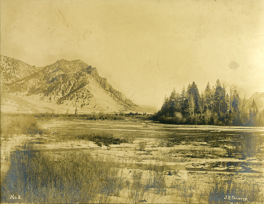 Salmon River Trail EastHiking · ~16 min drivePhoto: waterarchives, CC BY-SA 2.0 (via Flickr)
- INDIAN CREEKHiking · ~7 min drive
- Warren CreekHiking · ~8 min drive
- Oregon Butte Trail #205Hiking · ~10 min drive
- Painter Trail #213Hiking · ~16 min drivePhoto: waterarchives, CC BY-SA 2.0 (via Flickr)
- Usfs Trail 224 TrailHiking · ~7 min drive
- JERSEY MOUNTAIN LOOKOUTHiking · ~9 min drive
- Drumlummen Trail #200Hiking · ~10 min drive
- SUGARLOAF RIDGEHiking · ~1 min drive
- James CreekHiking · ~8 min drive
Map and trail data © OpenStreetMap contributors
