James Creek
- 20.8 mi
- round trip
- 4,135 ft
- climb
- 7,053 ft
- high point
- Out and back
- route
- Jun–Aug
- best months
Is James Creek open right now?
Alert in the area
The Forest Service lists 5 alerts for Payette National Forest.
Over Snow Vehicle Closure
Agency alert covering Payette National Forest · Order 0412-638 · USFS · Payette National Forest
Brundage Mountain Resort Snowcat Route Closure
Agency alert covering Payette National Forest · Order 0412-637 · USFS · Payette National Forest
Lost Valley Log Hauling
Agency alert covering Payette National Forest · USFS · Payette National Forest
Granite Mountain Over Snow Vehicle Closure
Agency alert covering Payette National Forest · Order 0412-635 · USFS · Payette National Forest
Gordon Titus Upper Elevation Parking Lot Winter Restrictions
Agency alert covering Payette National Forest · Order 0412-543 · USFS · Payette National Forest
As of · Source: USFS · Payette National Forest. Agencies don't list every closure — check before you go.
James Creek is a 20.79-mile out-and-back trail in Idaho with 4,135 feet of elevation gain. The trail follows an out-and-back route type.
Local outfitters
- Black Bear RV Park40 mi away
Not on Roamze yet. Their page has how to reach them.
Best time to go · Jun–Aug
Best time to visit James Creek
Best months: June–August. Best months have typical highs of 55–85 °F, lows of 30 °F or warmer (32 °F where the station doesn't record snow), at most one snowy day and no more than 12 wet days.
Jan
35° / 7°
Feb
41° / 7°
Mar
46° / 17°
Apr
50° / 20°
May
59° / 27°
Jun
68° / 34°
Jul
79° / 37°
Aug
79° / 35°
Sep
69° / 30°
Oct
56° / 23°
Nov
41° / 16°
Dec
34° / 9°
Typical high / low (°F) and days with rain or snow, 1991–2020. Measured at Warren, ID, 8.4 mi away at 5,907 ft. The station sits about 1,100 ft lower than this place, so expect it a little cooler here. This station doesn't record snowfall. Source: NOAA NCEI U.S. Climate Normals 1991–2020.
Keep exploring — more trails worth the drive
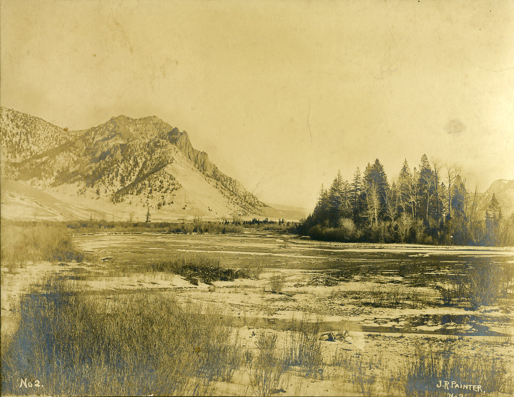 Photo: waterarchives, CC BY-SA 2.0 (via Flickr)
Painter Trail #213
~16 min drive
7.9-mile out-and-back trail in Idaho with 5,072 ft gain and 5,887 ft max elevation.
HIKE
Warren Creek
~2 min drive
0.60-mile out-and-back trail at Warren Creek in Idaho with 276 ft of elevation gain.
HIKE
Cottontail Point
~8 min drive
5.87-mile out-and-back trail in Idaho with 289 ft gain.
HIKE
Nelson Point
~8 min drive
6.12-mile out-and-back trail in Idaho with 2,061 ft elevation gain.
Photo: waterarchives, CC BY-SA 2.0 (via Flickr)Salmon River Trail East
~15 min drive
20.34-mile out-and-back trail in Idaho with 4,970 ft elevation gain/loss.
HIKE
Chinese Cemetery
~14 min drive
0.38-mile out-and-back trail at Chinese Cemetery in Idaho with 79 ft of elevation gain.
HIKE
RAINES CREEK/SLAUGHTER GULCH
~14 min drive
8.36-mile out-and-back trail in Idaho with 2,299 ft elevation gain and loss.
HIKE
Warren Creek
~9 min drive
18.04-mile out-and-back trail in Idaho with 767 ft elevation gain.
HIKE
Salmon River Trail #96
~6 min drive
17.06-mile out-and-back trail in Idaho with 6,041 ft elevation gain/loss.
HIKE
MARSHAL MOUNTAIN SPUR
~14 min drive
2.2-mile out-and-back trail in Idaho with 501 ft elevation gain and loss.
