Rr222rd-008
Campground
Campground · 0.5 mi from the trail
Closure in the area
There's a closure order in Nez Perce-Clearwater National Forest. It doesn't name JERSEY MOUNTAIN LOOKOUT, so check the source for the area it covers (2 listed).
Updated 250 Road Closure
Agency closure covering Nez Perce-Clearwater National Forest · USFS · Nez Perce-Clearwater National Forest
Red River Ranger District Road Closures
Agency closure covering Red River Ranger District · Order 01-17-05-26-002 · USFS · Red River Ranger District
NFSR #1803 Road Closure
Agency alert covering Red River Ranger District · Order 01-17-05-26-001 · USFS · Red River Ranger District
Laird Park Water Unavailable For 2026 Season
Agency alert covering Nez Perce-Clearwater National Forest · USFS · Nez Perce-Clearwater National Forest
As of · Source: USFS · Nez Perce-Clearwater National Forest. Agencies don't list every closure — check before you go.
Jersey Mountain Lookout is a short, easy out-and-back hike in Idaho's Nez Perce-Clearwater National Forest, within the Red River Ranger District. The trail is about 2 miles long, with a total elevation gain of 687 feet, and it reaches a high point of 6,866 feet. The climb is rolling, and the steepest stretch comes early, at about 0.06 miles from the start, where the grade reaches 12 percent. Summer is the most comfortable time to go. Typical averages from a nearby weather station at Dixie put July and August highs around 76°F with lows in the upper 30s, while winter highs stay near freezing. The trip takes about an hour. The trail starts at a low point of 6,509 feet, and the round trip adds up to about 2 miles with roughly 687 feet of gain and loss. Jersey Ridge is about 0.8 miles away, and Crooked Creek offers canoeing about 1.5 miles off. Halfway House campground is about 2.2 miles away, and the Crooked Creek Trail is about 1.9 miles away.
Rr222rd-008
Campground
Places © Overture Maps Foundation
More in Elk CityNot on Roamze yet. Their page has how to reach them.
Daily highs and lows, wind and the chance of precipitation at the summit and route start for the next 7 days, from the Open-Meteo model.
Source: Roamze catalog (indexable pages within 10 miles, PostGIS distance)
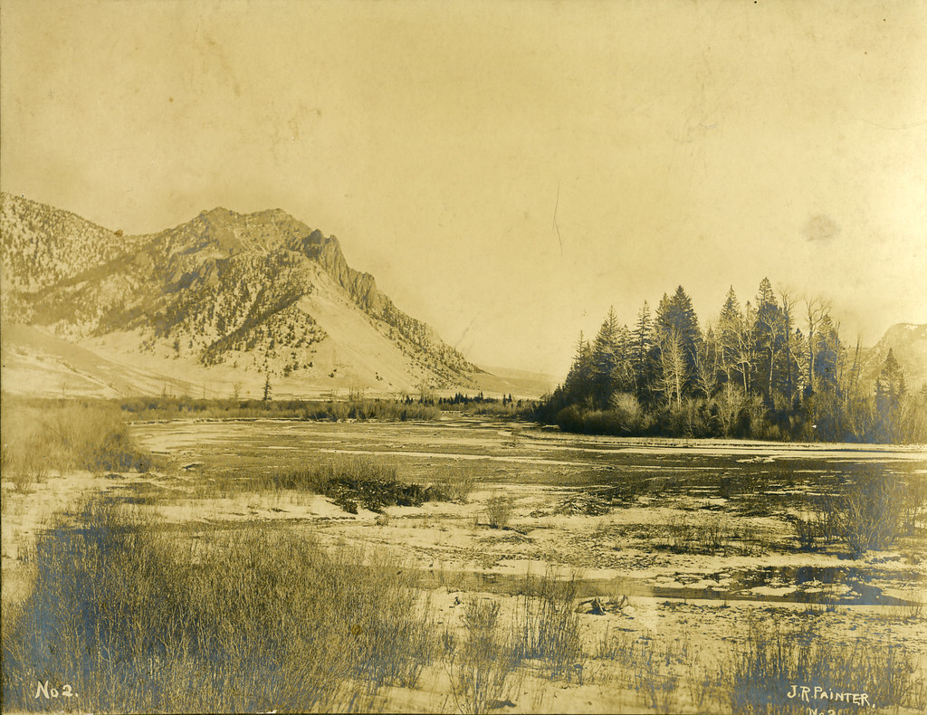 Painter Trail #213Hiking · ~11 min drivePhoto: waterarchives, CC BY-SA 2.0 (via Flickr)Salmon River Trail EastHiking · ~12 min drivePhoto: waterarchives, CC BY-SA 2.0 (via Flickr)
Also worth it near here
Best months: June–August. Best months have typical highs of 55–85 °F, lows of 30 °F or warmer (32 °F where the station doesn't record snow), at most one snowy day and no more than 12 wet days.
Jan
31° / 5°
Feb
33° / 8°
Mar
38° / 13°
Apr
46° / 20°
May
57° / 28°
Jun
64° / 35°
Jul
76° / 39°
Aug
76° / 36°
Sep
65° / 31°
Oct
52° / 24°
Nov
36° / 14°
Dec
28° / 5°
Typical high / low (°F) and days with rain or snow, 1991–2020. Measured at Dixie N, ID, 7.7 mi away at 5,740 ft. The station sits about 1,100 ft lower than this place, so expect it a little cooler here. This station doesn't record snowfall. Source: NOAA NCEI U.S. Climate Normals 1991–2020.
About 1.0 mi round trip.
About 687 ft of climbing round trip.
It is rated easy.
About 0.5 hours round trip.
