Navigation
- from $15
- fee
- June
- season
- Apr–Jul, Sep–Oct
- best months
Is Navigation open right now?
Closure in the area
There's a closure order in Idaho Panhandle National Forests. It doesn't name Navigation, so check the source for the area it covers (3 listed).
Emergency Road Closure Lightning Creek / Forest Road 419
Agency closure covering Idaho Panhandle National Forests · Order 0104-06-26-002 · USFS · Idaho Panhandle National Forests
Abandoned Mines Area Closure
Agency closure covering Idaho Panhandle National Forests · Order 1-04-00-25-001 · USFS · Idaho Panhandle National Forests
Idaho Panhandle Seasonal Food Storage Order
Agency closure covering Idaho Panhandle National Forests · Order 01-04-00-24-001 · USFS · Idaho Panhandle National Forests
Heavy Truck Traffic on FS Road 209
Agency alert covering Idaho Panhandle National Forests · USFS · Idaho Panhandle National Forests
IPNF Glass Container Restrictions
Agency alert covering Idaho Panhandle National Forests · Order 01-04-00-24-002 · USFS · Idaho Panhandle National Forests
As of · Source: USFS · Idaho Panhandle National Forests. Agencies don't list every closure — check before you go.
- At 2,450 ft
- Priest Lake Ranger DistrictIdaho Panhandle National Forests
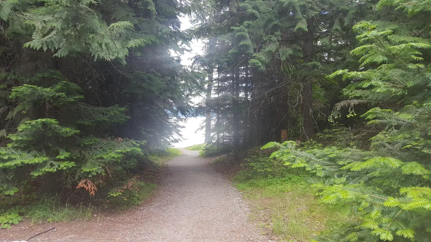
Navigation Campground sits on the northwest shore of Upper Priest Lake in the Priest Lake Ranger District of the Idaho Panhandle National Forests, a Forest Service unit in northwest Idaho. The site offers four campsites with fire rings, picnic tables and bear-proof storage boxes, along with vault toilets, and its location on the lake's edge puts the Selkirk Crest within view. The most comfortable time to visit is summer. Typical averages from a nearby weather station at Porthill run from highs around 76°F with lows near 48°F in June to about 86°F by August. The station sits roughly 650 feet lower than the campground, so temperatures at the site run a bit cooler. The Pack It In, Pack It Out rule covers all garbage, and the campground charges a fee. The closest neighbor is Trapper Campground, about 0.7 miles away. Within a few miles you'll also find the Plowboy and Geisinger campgrounds and the Plowboy Mountain hike.
Local outfitters
- Nordman Resort11 mi away
- The Hemlocks RV & Lodging36 mi away
Not on Roamze yet. Their page has how to reach them.
- TrapperCamping0.7 mi
- PlowboyCamping2.2 mi
- GeisingerCamping2.6 mi
- Plowboy MountainHiking3.2 mi
- North BlacktailHiking3.3 mi
 Beaver CreekLake fishing4.5 mi
- Hughes ForkCanoeing5.6 mi
- Lion's CreekRock climbing8.4 mi
Source: Roamze catalog (indexable pages within 10 miles, PostGIS distance)
- Beaver Creek (idaho)Camping · ~8 min drive
- TrapperCamping · ~1 min drive
- PlowboyCamping · ~4 min drive
- 1013-013bCamping · ~5 min drive
- 1013-014bCamping · ~5 min drive
- 1013-014aCamping · ~5 min drive
- 1013-013aCamping · ~5 min drive
- 1013-011bCamping · ~6 min drive
- 1382-001bCamping · ~8 min drive
- 13820-001aCamping · ~8 min drive
Best time to visit Navigation
Best months: April–July and September–October. Best months have typical highs of 55–85 °F, lows of 30 °F or warmer (32 °F where the station doesn't record snow), at most one snowy day and no more than 12 wet days.
Jan
35° / 21°
11 wet
Feb
40° / 22°
9 wet
Mar
50° / 28°
10 wet
Apr
60° / 34°
9 wet
May
71° / 42°
10 wet
Jun
76° / 48°
10 wet
Jul
85° / 52°
7 wet
Aug
86° / 50°
5 wet
Sep
74° / 42°
6 wet
Oct
58° / 33°
9 wet
Nov
44° / 27°
11 wet
Dec
36° / 21°
12 wet
Typical high / low (°F) and days with rain or snow, 1991–2020. Measured at Porthill 1 Sw, ID, 23.1 mi away at 1,799 ft. The station sits about 700 ft lower than this place, so expect it a little cooler here. This station doesn't record snowfall. Source: NOAA NCEI U.S. Climate Normals 1991–2020.

