Hughes Fork
- 13.2 mi
- distance
- 3,983 ft
- high point
- May–Sep
- best months
Caution at last check
Agency alerts are in effect for this area; weather is good · USFS, OpenWeather · checked 17 h ago
Is Hughes Fork open right now?
Closure in the area
There's a closure order in Idaho Panhandle National Forests. It doesn't name Hughes Fork, so check the source for the area it covers (3 listed).
Emergency Road Closure Lightning Creek / Forest Road 419
Agency closure covering Idaho Panhandle National Forests · Order 0104-06-26-002 · USFS · Idaho Panhandle National Forests
Abandoned Mines Area Closure
Agency closure covering Idaho Panhandle National Forests · Order 1-04-00-25-001 · USFS · Idaho Panhandle National Forests
Idaho Panhandle Seasonal Food Storage Order
Agency closure covering Idaho Panhandle National Forests · Order 01-04-00-24-001 · USFS · Idaho Panhandle National Forests
Heavy Truck Traffic on FS Road 209
Agency alert covering Idaho Panhandle National Forests · USFS · Idaho Panhandle National Forests
IPNF Glass Container Restrictions
Agency alert covering Idaho Panhandle National Forests · Order 01-04-00-24-002 · USFS · Idaho Panhandle National Forests
As of · Source: USFS · Idaho Panhandle National Forests. Agencies don't list every closure — check before you go.
Hughes Fork is a paddling route in the Priest Lake Ranger District of the Idaho Panhandle National Forests, managed by the Forest Service in northern Idaho. The nearest town is Priest Lake, and the paddling lies within the national forest's forest plan boundaries. Summer is the most comfortable time to paddle here. Typical July and August highs reach about 83°F with lows in the upper 40s, and those months see the fewest wet days of the year, about five to six each, according to averages from a nearby weather station. Winter is cold and snowy, with typical December highs near 31°F and snow on roughly 11 days of the month. Hughes Ridge and Upper Hughes are both hikes within about a mile and a half of the water. The Gold Creek paddling run is about 3.7 miles away, and Navigation Campground offers a place to stay about 5.6 miles off.
- Hughes RidgeHiking0.6 mi
- Upper HughesHiking1.2 mi
 Jackson CreekHikingPhoto: Forest Service - Northern Region, Public Domain Mark (via Flickr)2 mi
- Gold CreekCanoeing3.7 mi
- NavigationCamping5.6 mi
- TrapperCamping5.9 mi
- PlowboyCamping7.7 mi
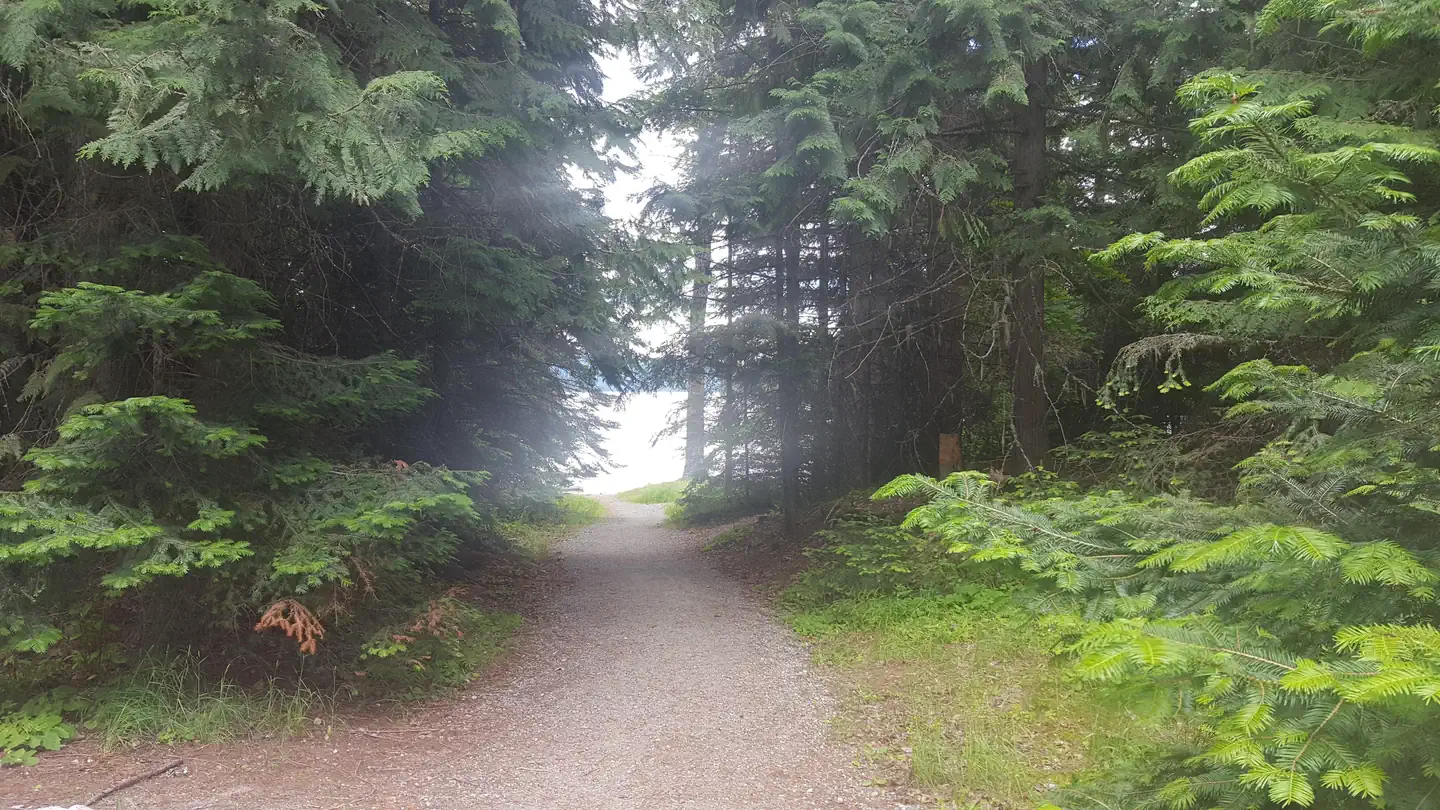 Beaver CreekLake fishing10 mi
Source: Roamze catalog (indexable pages within 10 miles, PostGIS distance)
 Moyie RiverCanoeing · ~1h 6m drivePhoto: Public domain (via Wikimedia Commons)
- Kalispell Bay Boat LaunchBoat launch · ~35 min drive
- Snyder Guard StationFloat trip · ~1h 4m drive
- Upper Priest RiverCanoeing · ~5 min drive
- The Old Ferry LandingBoat launch · ~42 min drive
- Gold CreekCanoeing · ~6 min drive
- Ruby FerryBoat launch · ~46 min drive
- Sullivan CreekCanoeing · ~18 min drive
- Brush Lake Boating SiteBoat launch · ~51 min drive
- South Fork Granite CreekCanoeing · ~21 min drive
Best time to visit Hughes Fork
Best months: May–September. Best months have typical highs of 55–85 °F, lows of 30 °F or warmer (32 °F where the station doesn't record snow), at most one snowy day and no more than 12 wet days.
Jan
32° / 22°
16 wet · 10 snow
Feb
37° / 22°
13 wet · 6 snow
Mar
46° / 26°
14 wet · 4 snow
Apr
57° / 31°
13 wet
May
68° / 39°
12 wet
Jun
74° / 44°
11 wet
Jul
83° / 48°
6 wet
Aug
83° / 46°
5 wet
Sep
72° / 39°
7 wet
Oct
54° / 32°
12 wet
Nov
38° / 27°
15 wet · 5 snow
Dec
31° / 22°
17 wet · 11 snow
Typical high / low (°F) and days with rain or snow, 1991–2020. Measured at Priest Rvr Exp Stn, ID, 35.5 mi away at 2,371 ft. The station sits about 1,600 ft lower than this place, so expect it a little cooler here. Source: NOAA NCEI U.S. Climate Normals 1991–2020.

