Wildcat Connector Trail
- 0.6 mi
- round trip
- 292 ft
- climb
- 1,720 ft
- high point
- Out and back
- route
- Mar–Nov
- best months
Wildcat Connector Trail is a short, easy out-and-back hike in north Georgia, about 2.3 miles from the town of Afton. The trail is 1.2 miles long, with a steady climb that takes you from a starting elevation of about 1,662 feet to a high point of 1,720 feet, then back down. The total elevation gain is 292 feet, and the steepest stretch comes at about 0.5 miles in, with a grade of about 6 percent. Spring and fall are the most comfortable times to go. Typical averages from a nearby weather station in Jasper show October highs around 69°F with lows near 50°F, and April highs around 68°F. That station sits about 255 feet lower than the trail's high point, so temperatures on the trail run a little cooler. The hike takes about half an hour. McDaniel Meadows Park Trail is 0.6 miles away, and the High Gap Connector Trail is 0.9 miles off. The High Gap White Trail and High Gap Blue Trail are each about 1.1 miles away.
- McDaniel Meadows Park TrailHiking0.6 mi
- High Gap Connector TrailHiking0.9 mi
- High Gap White TrailHiking1.1 mi
- High Gap Blue TrailHiking1.1 mi
- High Gap Red TrailHiking1.2 mi
- High Gap Purple TrailHiking1.3 mi
- Amicalola CreekCanoeing2.8 mi
- Cochran FallsRock climbing7.9 mi
Source: Roamze catalog (indexable pages within 10 miles, PostGIS distance)
 Amicalola Interpretive LoopHiking · ~7 min drivePhoto: jeffgunn, CC BY 2.0 (via Flickr)
- Abandoned TrackHiking · ~9 min drivePhoto: jeffgunn, CC BY 2.0 (via Flickr)
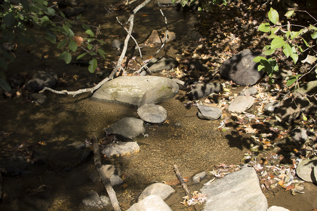 Appalachian Approach Trail - GeorgiaHiking · ~10 min drivePhoto: StephenGA, Public Domain Dedication (CC0) (via Flickr)
- Amicalola Interpretive LoopHiking · ~9 min drivePhoto: jeffgunn, CC BY 2.0 (via Flickr)
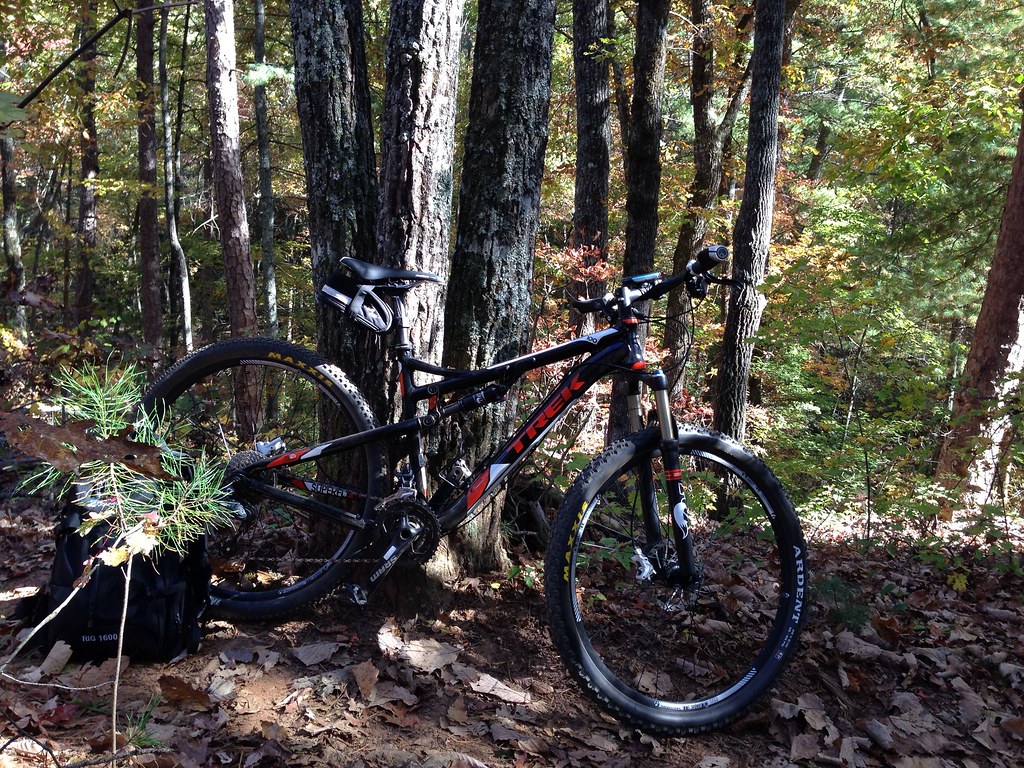 JAKE/BULL CONNECTOR TRAILHiking · ~18 min drivePhoto: jsnyng, CC BY 2.0 (via Flickr)
 Hike Inn LodgeHiking · ~12 min drivePhoto: Bas van Oorschot, CC BY-SA 3.0 (via Wikimedia Commons)
 Spring TrailHiking · ~11 min drivePhoto: Bas van Oorschot, CC BY-SA 3.0 (via Wikimedia Commons)
 Anderson CreekHiking · ~16 min drivePhoto: Thomson20192, Public Domain Dedication (CC0) (via Flickr)
- Fdr-872 Jones Creek Dam TrailHiking · ~18 min drivePhoto: jsnyng, CC BY 2.0 (via Flickr)
- Creek TrailHiking · ~11 min drivePhoto: Bas van Oorschot, CC BY-SA 3.0 (via Wikimedia Commons)
Also worth it near here
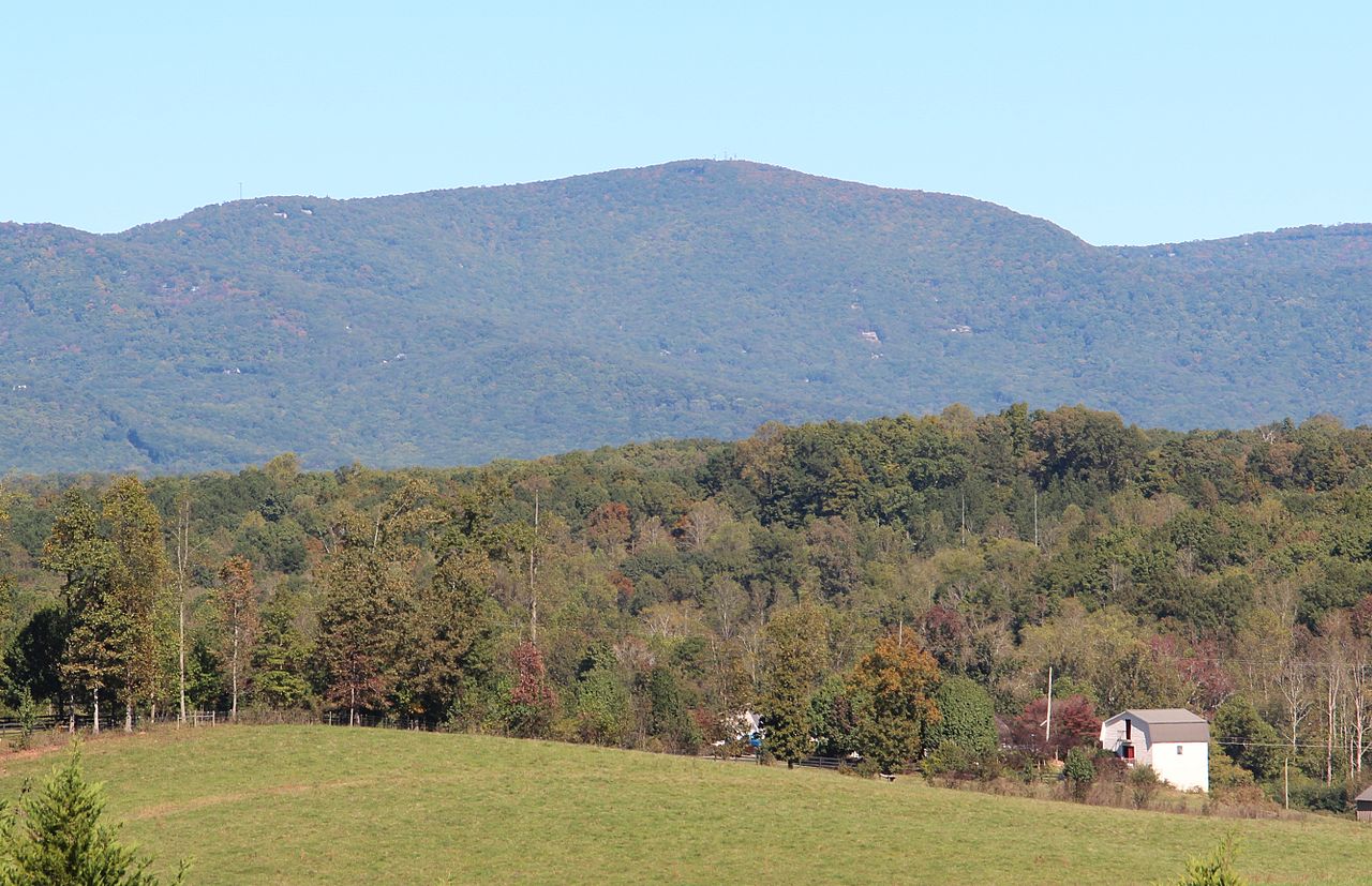 Mount OglethorpeSummit · ~7 min drivePhoto: Thomson200, CC0 (via Wikimedia Commons)
 Under the HemlockCamping · ~9 min drivePhoto: anonymouse1, CC BY-SA 3.0 (via Wikimedia Commons)
 Amicalola FallsWaterfall · ~11 min drivePhoto: Jsfouche, CC BY-SA 3.0 (via Wikimedia Commons)
- Cochran FallsRock climbing · ~14 min drive
Best time to visit Wildcat Connector Trail
Best months: March–November. Best months have typical highs of 55–85 °F, lows of 30 °F or warmer (32 °F where the station doesn't record snow), at most one snowy day and no more than 12 wet days.
Jan
48° / 31°
10 wet · 1 snow
Feb
52° / 34°
9 wet
Mar
60° / 40°
10 wet
Apr
68° / 47°
9 wet
May
75° / 55°
9 wet
Jun
82° / 63°
10 wet
Jul
85° / 67°
11 wet
Aug
84° / 66°
9 wet
Sep
79° / 61°
8 wet
Oct
69° / 50°
8 wet
Nov
59° / 40°
8 wet
Dec
51° / 35°
10 wet
Typical high / low (°F) and days with rain or snow, 1991–2020. Measured at Jasper 1 Nnw, GA, 10.3 mi away at 1,465 ft. Source: NOAA NCEI U.S. Climate Normals 1991–2020.
Map and trail data © OpenStreetMap contributors
