Westminster Cross Country Trail
- 1.8 mi
- loop
- 409 ft
- climb
- 938 ft
- high point
- Loop
- route
- Feb–May, Sep–Dec
- best months
Clear today
Weather is good · OpenWeather · checked just now
Westminster Cross Country Trail is a 1.8-mile loop in Georgia, about a mile from the community of Ridgewood Heights. The trail rises to a high point of 938 feet, with a total elevation gain of 409 feet, and the climb is rolling rather than steep. The steepest stretch comes at about a mile in, where the grade reaches 14 percent. Spring and fall are the most comfortable times to go. Typical averages from a nearby weather station in Atlanta show October highs around 75°F with lows near 51°F, and April is similar at about 74°F by day and 49°F at night. July is the warmest month, with highs near 90°F. The trip takes about an hour. The loop starts and ends at roughly 907 feet, and the trail is rated easy. Nearby, the Mountain Bike/Hike Trail is about 2.4 miles away. Climbers can head to Soviet Cave Area, about 3.2 miles off, or Trump's Wall Area, about 3.4 miles away. Chastain Park Path Trail is about 3.6 miles from the trail.
- Mountain Bike/Hike TrailHiking2.4 mi
- Soviet Cave AreaRock climbing3.2 mi
- Trump's Wall AreaRock climbing3.4 mi
- Riverside Cliffs AreaRock climbing3.5 mi
- Friendly Ranger BoulderRock climbing3.6 mi
- Chastain Park Path TrailHiking3.6 mi
- South Fork Confluence TrailHiking4.4 mi
- Elwyn John Loop TrailHiking6.4 mi
Source: Roamze catalog (indexable pages within 10 miles, PostGIS distance)
 Cochran Shoals - Trail SystemHiking · ~10 min drivePhoto: Dreaming in the deep south, CC BY 2.0 (via Flickr)
- East Cobb TrailHiking · ~17 min drive
 Westside PathHiking · ~12 min drivePhoto: atlnature, CC BY 2.0 (via Flickr)
 Eastside PathHiking · ~12 min drivePhoto: atlnature, CC BY 2.0 (via Flickr)
- Watershed LoopHiking · ~14 min drivePhoto: atlnature, CC BY 2.0 (via Flickr)
 Springway TrailHiking · ~17 min drivePhoto: TranceMist, CC BY 2.0 (via Flickr)
 Overlook Park Hiking TrailHiking · ~17 min drivePhoto: TranceMist, CC BY 2.0 (via Flickr)
 Gold Branch - Trail SystemHiking · ~18 min drivePhoto: TranceMist, CC BY 2.0 (via Flickr)
 Cease Fire TrailHiking · ~20 min drivePhoto: Ryan Stavely, CC BY-SA 2.0 (via Flickr)
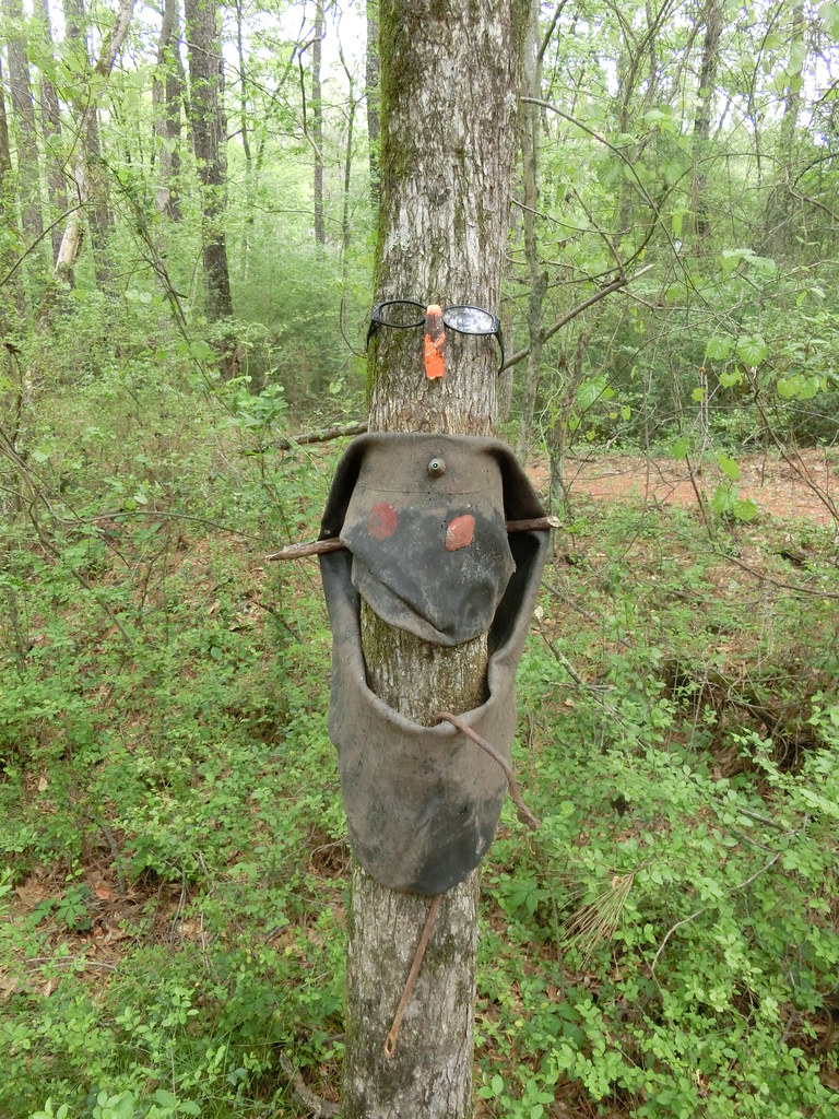 Green TrailHiking · ~20 min drivePhoto: Marcus O. Bst, CC BY 2.0 (via Flickr)
Best time to visit Westminster Cross Country Trail
Best months: February–May and September–December. Best months have typical highs of 55–85 °F, lows of 30 °F or warmer (32 °F where the station doesn't record snow), at most one snowy day and no more than 12 wet days.
Jan
54° / 33°
11 wet
Feb
58° / 37°
10 wet
Mar
66° / 43°
11 wet
Apr
74° / 49°
10 wet
May
81° / 58°
10 wet
Jun
87° / 67°
12 wet
Jul
90° / 70°
12 wet
Aug
89° / 69°
11 wet
Sep
84° / 63°
9 wet
Oct
75° / 51°
9 wet
Nov
64° / 41°
9 wet
Dec
56° / 36°
11 wet
Typical high / low (°F) and days with rain or snow, 1991–2020. Measured at Atlanta Fulton Co Ap, GA, 6.4 mi away at 840 ft. This station doesn't record snowfall. Source: NOAA NCEI U.S. Climate Normals 1991–2020.

Map and trail data © OpenStreetMap contributors
