East Cobb Trail
- 3.0 mi
- round trip
- 328 ft
- climb
- 1,054 ft
- high point
- Out and back
- route
- Feb–Dec
- best months
Clear at last check
Weather is good · OpenWeather · checked 21 h ago
East Cobb Trail is a moderate out-and-back hike in Georgia, about half a mile from the community of Ashebrook. The route is roughly 6 miles long, with a total elevation gain of about 330 feet, and it reaches a high point of about 1,050 feet. The trail starts at an elevation of about 970 feet, and the steepest stretch comes around the 0.7-mile mark, where the grade reaches about 5%. Spring and fall are the most comfortable times to go. Typical averages from a nearby weather station in Mableton show April highs around 72°F and October highs around 71°F, while July and August average about 84°F. The hike takes about two hours. For more time on foot, the Life University connector trail and Springway Trail are both about 5 miles away. Mountain bikers can head to Sope Creek Trail, about 2.4 miles off. Climbers will find Ray's on the Rocks Area roughly 6 miles away.
- Sope Creek TrailMountain biking2.4 mi
- Life University connector trailHiking4.6 mi
 Springway TrailHikingPhoto: TranceMist, CC BY 2.0 (via Flickr)4.7 mi
 Overlook Park Hiking TrailHikingPhoto: TranceMist, CC BY 2.0 (via Flickr)4.7 mi
- Ray's on the Rocks AreaRock climbing5.7 mi
- Mangler AreaRock climbing5.8 mi
- Fairy FountainRock climbing5.8 mi
- Chattahoochee RiverRiver fishing9.3 mi
Source: Roamze catalog (indexable pages within 10 miles, PostGIS distance)
 Cochran Shoals - Trail SystemHiking · ~7 min drivePhoto: Dreaming in the deep south, CC BY 2.0 (via Flickr)
 Vickery Creek TrailHiking · ~12 min drivePhoto: JimTiffinJr, CC BY 2.0 (via Flickr)
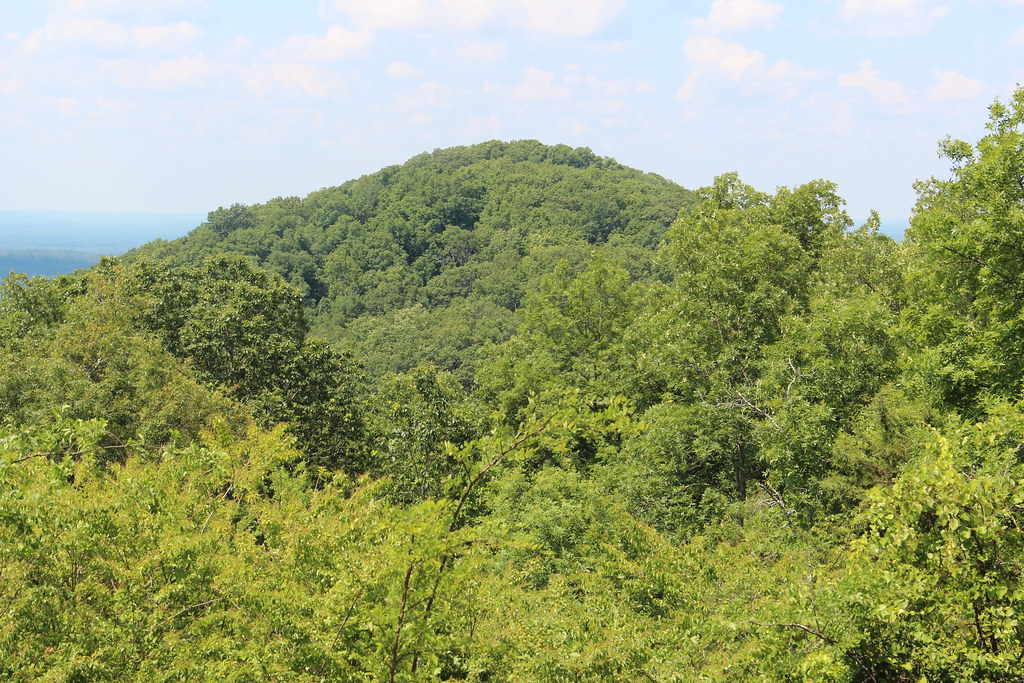 Little Kennesaw TrailHiking · ~13 min drivePhoto: Thomson20192, Public Domain Dedication (CC0) (via Flickr)
- Mountain To River Multi-Use TrailHiking · ~12 min drive
- Springway TrailHiking · ~8 min drivePhoto: TranceMist, CC BY 2.0 (via Flickr)
- Pigeon Hill TrailHiking · ~13 min drivePhoto: Thomson20192, Public Domain Dedication (CC0) (via Flickr)
- Overlook Park Hiking TrailHiking · ~8 min drivePhoto: TranceMist, CC BY 2.0 (via Flickr)
 Gold Branch - Trail SystemHiking · ~8 min drivePhoto: TranceMist, CC BY 2.0 (via Flickr)
 Brumby Camp TrailHiking · ~11 min drivePhoto: twslivxe26, CC BY-SA 2.0 (via Flickr)
 Brumby Camp CircleHiking · ~11 min drivePhoto: Gary Lee Todd, Ph.D., Public Domain Dedication (CC0) (via Flickr)
Also worth it near here
 Blackjack MountainSummit · ~3 min drivePhoto: Thomson200, CC0 (via Wikimedia Commons)
- Sope Creek TrailMountain biking · ~4 min drive
- Johnson Ferry North Boat LaunchBoat launch · ~7 min drive
 Sundrop BoulderRock climbing · ~13 min drivePhoto: TranceMist from Atlanta, USA, CC BY 2.0 (via Wikimedia Commons)
Best time to visit East Cobb Trail
Best months: February–December. Best months have typical highs of 55–85 °F, lows of 30 °F or warmer (32 °F where the station doesn't record snow), at most one snowy day and no more than 12 wet days.
Jan
53° / 32°
10 wet
Feb
57° / 35°
9 wet
Mar
65° / 40°
10 wet
Apr
72° / 48°
8 wet
May
77° / 57°
9 wet
Jun
82° / 65°
10 wet
Jul
84° / 68°
11 wet
Aug
84° / 68°
10 wet
Sep
80° / 62°
7 wet
Oct
71° / 51°
8 wet
Nov
63° / 40°
8 wet
Dec
55° / 35°
9 wet
Typical high / low (°F) and days with rain or snow, 1991–2020. Measured at Mableton 1 N, GA, 11 mi away at 980 ft. Source: NOAA NCEI U.S. Climate Normals 1991–2020.
Map and trail data © OpenStreetMap contributors
