Terrora Campground
Campground
Campground · 0.4 mi from the trail
 Photo: pseabolt, CC BY 3.0 (via Wikimedia Commons)
Closure in the area
There's a closure order in Chattahoochee-Oconee National Forests. It doesn't name Upper Terrora Natura Trail, so check the source for the area it covers (4 listed).
Road Maintenance: West Cowpen Road (FSR 17)
Agency closure covering Chattahoochee-Oconee National Forests · USFS · Chattahoochee-Oconee National Forests
Prescribed fire on Oconee Ranger District at Jasper County
Agency closure covering Chattahoochee-Oconee National Forests · USFS · Chattahoochee-Oconee National Forests
Muskrat Road, FS 218, Temporarily Closed
Agency closure covering Chattahoochee-Oconee National Forests · USFS · Chattahoochee-Oconee National Forests
Flash Flood Awareness
Agency closure covering Chattahoochee-Oconee National Forests · USFS · Chattahoochee-Oconee National Forests
Lake Winfield Scott closed except fishing pier
Agency alert covering Chattahoochee-Oconee National Forests · USFS · Chattahoochee-Oconee National Forests
As of · Source: USFS · Chattahoochee-Oconee National Forests. Agencies don't list every closure — check before you go.
Upper Terrora Natura Trail is a short, easy loop in Tallulah Gorge State Park, Georgia, set within the Chattooga River Ranger District of the Chattahoochee-Oconee National Forests. The State Department of Natural Resources manages the land, and the trail's low point sits at 1,528 feet, with the high at 1,612 feet. The loop is 0.56 miles long, and the climb is flat, with a total gain of 62 feet and a loss of 49 feet over the course of the route. Spring and fall are the most comfortable times to go. Typical averages from a nearby weather station at Long Creek, South Carolina, show October highs around 70°F with lows near 47°F, and April is similar at about 70°F by day and 46°F at night. Summer runs warmer, with July highs averaging about 85°F. The Terrora Lake Loop Trail starts just 0.1 mile away, and the Main Wall and Tallulah Gorge climbing areas are both about 0.7 mile off. For an overnight stay, Rabun Beach Recreation Area is about 4.3 miles away.
Terrora Campground
Campground
Sunset Rock
Viewpoint
Cliff in Macon County, North Carolina, United States
Places © OpenStreetMap contributors
More in HighlandsNot on Roamze yet. Their page has how to reach them.
Best months: March–November. Best months have typical highs of 55–85 °F, lows of 30 °F or warmer (32 °F where the station doesn't record snow), at most one snowy day and no more than 12 wet days.
Jan
50° / 30°
10 wet
Feb
54° / 32°
9 wet
Mar
61° / 38°
11 wet
Apr
70° / 46°
10 wet
May
76° / 54°
11 wet
Jun
82° / 62°
12 wet
Jul
85° / 65°
12 wet
Aug
84° / 64°
11 wet
Sep
79° / 58°
8 wet
Oct
70° / 47°
8 wet
Nov
61° / 38°
8 wet
Dec
53° / 32°
11 wet
Typical high / low (°F) and days with rain or snow, 1991–2020. Measured at Long Creek, SC, 8.7 mi away at 1,625 ft. Source: NOAA NCEI U.S. Climate Normals 1991–2020.
Spring 2026 Forest-wide Fire Restrictions
Chattahoochee-Oconee National Forests · Order dated April 23, 2026; seen Aug 23, 2026 → lifted Oct 13, 2026 · Forest Service
Photo: pseabolt, CC BY 3.0 (via Wikimedia Commons)Terrora Lake Loop Trail
Next door
0.54-mile loop around Terrora Lake in Georgia with 193 ft of elevation gain.
 Photo: Bas van Oorschot, CC BY-SA 3.0 (via Wikimedia Commons)
Stone Place Trail
~4 min drive
4.98-mile out-and-back hike in Georgia with 1,237 ft elevation gain
HIKE
Panther Creek Trail
~8 min drive
11.5-mile out-and-back creek hike in Georgia with mixed forest terrain.
Photo: pseabolt, CC BY 3.0 (via Wikimedia Commons)Stone Place Trail
~1 min drive
1.08-mile out-and-back trail in Georgia with 304 ft elevation gain.
 Photo: lns1122, CC BY 2.0 (via Flickr)
Tennessee Rock Trail
~19 min drive
2.08-mile loop in Georgia with 911 ft elevation gain and loss.
HIKE
Stonewall Falls Mountain Bike
~11 min drive
11.43-mile loop mountain bike trail in Georgia with 1,356 ft elevation gain.
Photo: Bas van Oorschot, CC BY-SA 3.0 (via Wikimedia Commons)High Bluff Trail
~2 min drive
2.26-mile out-and-back trail in Georgia with 462 ft elevation gain.
HIKE
Raven Rock
~9 min drive
Raven Rock is a 1.70-mile out-and-back trail in Georgia with 21 feet of elevation gain.
HIKE
OAKEY MOUNTAIN ORV TRAIL
~12 min drive
12.82-mile out-and-back ORV trail in Georgia with 3,425 ft elevation gain/loss
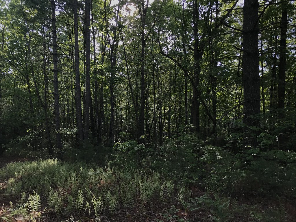 Photo: KW Baker, CC BY-SA 2.0 (via Flickr)
Angel Falls
~7 min drive
2.20-mile out-and-back trail in Georgia with 576 ft elevation gain.
Map and trail data © OpenStreetMap contributors

