Red Cloud Loop
- 2.9 mi
- loop
- 620 ft
- climb
- 741 ft
- high point
- Loop
- route
- Sep–May
- best months
Red Cloud Loop is a 2.9-mile loop hike in Georgia, about a mile from the town of Heatherbrook. The trail rises steadily from a starting point of about 700 feet to a high of 741 feet, with a total elevation gain of 620 feet. The climb is steady, and the steepest stretch comes at about 1.9 miles, where the grade reaches 13 percent. The route is rated easy, and the loop makes it simple to turn around and retrace your steps. Spring and fall are the most comfortable times to go. Typical averages from a nearby weather station in La Grange show October highs around 76°F with lows near 52°F, and April is similar at about 76°F by day and 49°F at night. July is the hottest month, with highs averaging 91°F. The hike takes about 1.5 hours to complete. Menawa Loop lies just 0.4 miles away, and Horace King Park, McGee Bridge Park and Whitetail Ridge offer camping within a few miles.
- Menawa LoopHiking0.4 mi
- Horace King ParkCamping1.4 mi
- McGee Bridge ParkCamping2.2 mi
- Whitetail RidgeCamping2.5 mi
- Earl Cook Recreation AreaCamping3.1 mi
 Yellowjacket Creek Recreation AreaCampingPhoto: Recreation.gov (RIDB) / public domain4 mi
- Long Cane CreekCanoeing7 mi
- Lakeside TrailHiking8 mi
Source: Roamze catalog (indexable pages within 10 miles, PostGIS distance)
 White Candle TrailHiking · ~48 min drivePhoto: Bas van Oorschot, CC BY-SA 3.0 (via Wikimedia Commons)
 Beaver Pond TrailHiking · ~49 min drivePhoto: Bas van Oorschot, CC BY-SA 3.0 (via Wikimedia Commons)
- Pine Moutain TrailHiking · ~41 min drive
- Chestnut Oak TrailHiking · ~40 min drive
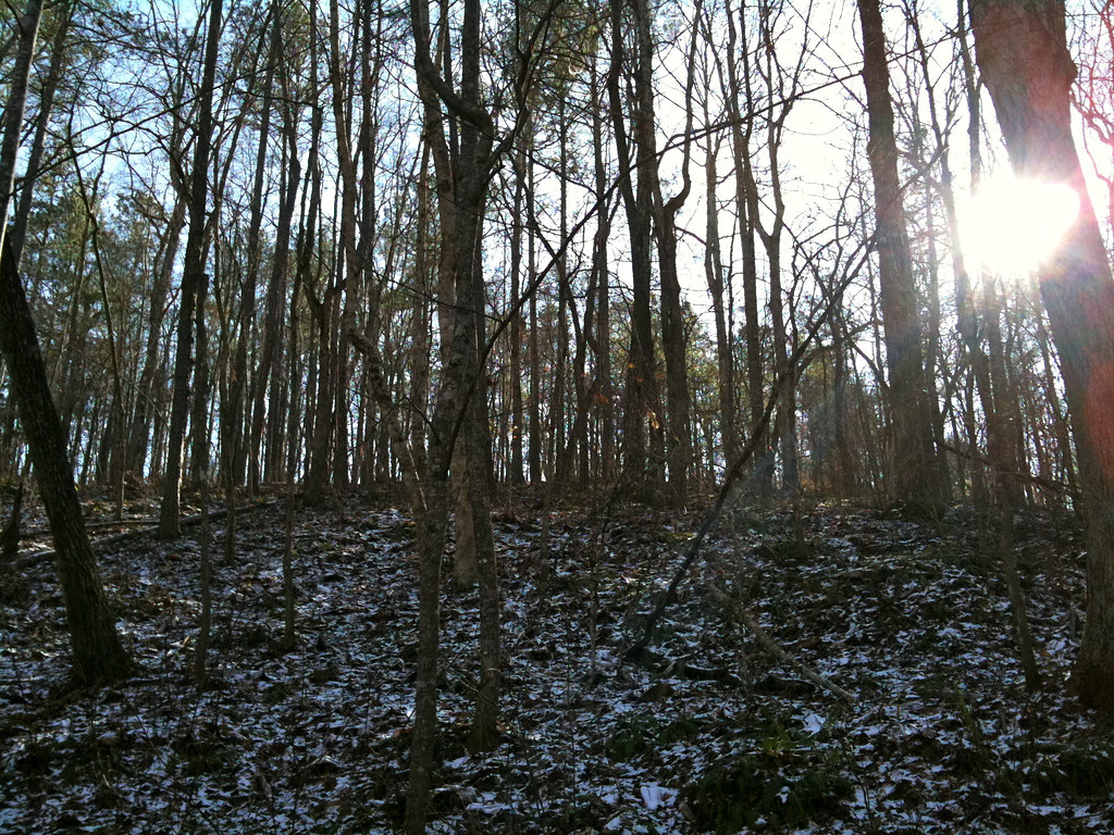 Lower Creek TrailHiking · ~1h 3m drivePhoto: Jay Tamboli, CC BY 2.0 (via Flickr)
- Sawtooth TrailHiking · ~42 min drive
- Menawa LoopHiking · Next door
- Wild Turkey TrailHiking · ~49 min drive
- Lakeside TrailHiking · ~14 min drive
- Riverside TrailHiking · ~49 min drive
Best time to visit Red Cloud Loop
Best months: September–May. Best months have typical highs of 55–85 °F, lows of 30 °F or warmer (32 °F where the station doesn't record snow), at most one snowy day and no more than 12 wet days.
Jan
56° / 34°
Feb
60° / 37°
Mar
69° / 42°
Apr
76° / 49°
May
83° / 58°
Jun
88° / 66°
Jul
91° / 69°
Aug
90° / 68°
Sep
85° / 62°
Oct
76° / 52°
Nov
66° / 40°
Dec
58° / 35°
Typical high / low (°F) and days with rain or snow, 1991–2020. Measured at La Grange 1n, GA, 7 mi away at 730 ft. This station doesn't record snowfall. Source: NOAA NCEI U.S. Climate Normals 1991–2020.
Map and trail data © OpenStreetMap contributors
