Lower Creek Trail
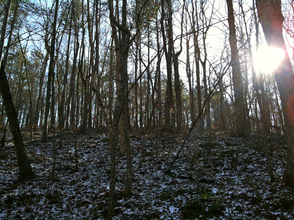 Photo: Jay Tamboli, CC BY 2.0 (via Flickr)
- 0.6 mi
- round trip
- 150 ft
- climb
- 828 ft
- high point
- Out and back
- route
- Feb–May, Sep–Dec
- best months
Lower Creek Trail is a short, easy out-and-back hike in Georgia, about half a mile from the community of Banning Mills. The trail is just over a mile long, with a total elevation gain of about 150 feet, and it reaches a high point of 828 feet before returning to the starting point. The route is gentle, with the steepest stretch coming early on, about 6% grade at the first tenth of a mile. The rest of the trail is mostly flat, and the whole trip takes about half an hour. Spring and fall are the most comfortable times to go. Typical averages from a nearby weather station in Newnan show October highs around 75°F with lows near 49°F, and April is similar at about 75°F by day and 47°F at night. Summer runs hotter, with July highs near 90°F. Several other trails lie within a few miles, including Armadillo Run, Horace King and Snake Creek, all about 3.5 miles away. Paddlers can head to Cedar Creek, roughly 8 miles off.
Best time to go · Feb–May, Sep–Dec
Best time to visit Lower Creek Trail
Best months: February–May and September–December. Best months have typical highs of 55–85 °F, lows of 30 °F or warmer (32 °F where the station doesn't record snow), at most one snowy day and no more than 12 wet days.
Jan
54° / 31°
11 wet
Feb
59° / 34°
10 wet
Mar
67° / 39°
10 wet
Apr
75° / 47°
9 wet
May
81° / 56°
10 wet
Jun
87° / 65°
10 wet
Jul
90° / 68°
11 wet
Aug
89° / 68°
10 wet
Sep
84° / 62°
7 wet
Oct
75° / 49°
7 wet
Nov
66° / 39°
8 wet
Dec
57° / 33°
10 wet
Typical high / low (°F) and days with rain or snow, 1991–2020. Measured at Newnan 7 Wnw, GA, 9.2 mi away at 795 ft. This station doesn't record snowfall. Source: NOAA NCEI U.S. Climate Normals 1991–2020.
Keep exploring — more trails worth the drive
 Photo: EricEricson, CC BY-SA 3.0 (via Wikimedia Commons)
Upper Wooten Gravel Trail
~20 min drive
1.34-mile out-and-back gravel trail in Georgia with 119 ft elevation gain
HIKE
Bend Trail
~12 min drive
5.48-mile out-and-back hike in Georgia with 594 ft elevation gain.
 Photo: hoyasmeg, CC BY 2.0 (via Flickr)
Old Pool Road
~21 min drive
0.30-mile out-and-back trail in Georgia with 126 ft elevation gain.
HIKE
Wild Turkey Trail
~14 min drive
7.88-mile out-and-back trail in Georgia with 1,074 ft elevation gain
Photo: hoyasmeg, CC BY 2.0 (via Flickr)Granite Loop
~21 min drive
0.82-mile loop in Georgia with 76 ft gain and 139 ft loss.
HIKE
Riverside Trail
~14 min drive
3.88-mile out-and-back hike in Georgia with 1,129 ft elevation gain.
Photo: hoyasmeg, CC BY 2.0 (via Flickr)Helter Skelter / Red Trail
~21 min drive
1.54-mile out-and-back trail in Georgia with 358 ft elevation gain
HIKE
Chattahoochee Loop (red)
~31 min drive
7.24-mile out-and-back trail in Georgia with 1,535 ft elevation gain and loss.
Photo: EricEricson, CC BY-SA 3.0 (via Wikimedia Commons)Orange Trail
~22 min drive
1.7-mile out-and-back trail in Georgia with 519 ft elevation gain.
Photo: EricEricson, CC BY-SA 3.0 (via Wikimedia Commons)Nature Center
~22 min drive
1.06-mile out-and-back trail at Nature Center in Georgia with 311 ft gain.


Map and trail data © OpenStreetMap contributors
