Hood Loop Trail
 Photo: David Dugan, CC BY-SA 3.0 (via Wikimedia Commons)
- 2.6 mi
- round trip
- 755 ft
- climb
- 1,996 ft
- high point
- Out and back
- route
- Mar–Jun, Sep–Nov
- best months
Caution at last check
Weather is marginal · OpenWeather · checked 16 h ago
Hood Loop Trail is a moderate out-and-back hike of about 5 miles, with a total elevation gain of 755 feet, on the Crockford-Pigeon Mountain Wildlife Management Area in northwest Georgia. The State Department of Natural Resources manages the land, and the trail starts near 1,944 feet, rising to a high point of about 1,996 feet before descending back to the trailhead. Spring and fall are the most comfortable seasons. Typical averages from a nearby weather station in Valley Head, Alabama, show October highs around 72°F with lows near 48°F, and April highs around 70°F. That station sits well below the trail, so temperatures on the ridge run cooler. The trip takes about two hours. The Comet Boulder and Hueco Simulator climbing areas are both about 0.7 miles away, and the Rocktown Trail is about 1.2 miles off. For paddling, West Chickamauga Creek is about 7.7 miles away.
Best time to go · Mar–Jun, Sep–Nov
Best time to visit Hood Loop Trail
Best months: March–June and September–November. Best months have typical highs of 55–85 °F, lows of 30 °F or warmer (32 °F where the station doesn't record snow), at most one snowy day and no more than 12 wet days.
Jan
49° / 30°
12 wet
Feb
53° / 32°
12 wet
Mar
61° / 39°
12 wet
Apr
70° / 46°
11 wet
May
77° / 55°
11 wet
Jun
83° / 63°
11 wet
Jul
86° / 67°
12 wet
Aug
86° / 66°
10 wet
Sep
81° / 60°
8 wet
Oct
72° / 48°
8 wet
Nov
60° / 38°
9 wet
Dec
52° / 33°
11 wet
Typical high / low (°F) and days with rain or snow, 1991–2020. Measured at Valley Head, AL, 13.8 mi away at 1,121 ft. The station sits about 900 ft lower than this place, so expect it a little cooler here. This station doesn't record snowfall. Source: NOAA NCEI U.S. Climate Normals 1991–2020.
Keep exploring — more trails worth the drive
 Photo: David Dugan, CC BY-SA 3.0 (via Wikimedia Commons)
Hood Loop Trail
Next door
1.29-mile out-and-back trail in Georgia with 439 ft elevation loss.
 Photo: David Dugan, CC BY-SA 3.0 (via Wikimedia Commons)
Atwood Trail
~3 min drive
10.5-mile out-and-back hike in Georgia with 1,344 ft elevation gain
 Photo: David Dugan, CC BY-SA 3.0 (via Wikimedia Commons)
Pocket Loop Trail
~5 min drive
8.37-mile loop in Georgia with 1,787 ft elevation gain and loss.
 Photo: David Dugan, CC BY-SA 3.0 (via Wikimedia Commons)
Rocktown Trail
~2 min drive
2.16-mile out-and-back trail in Georgia with 288 ft elevation gain
 Photo: The_Gut, CC BY 2.0 (via Flickr)
Bear Creek Backcountry Trail
~24 min drive
9.06-mile out-and-back hike in Georgia with 2,137 ft elevation gain.
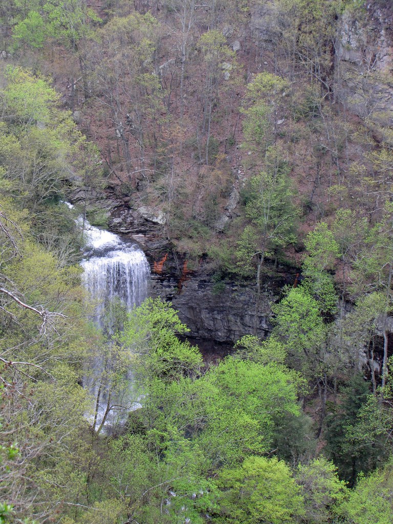 Photo: The_Gut, CC BY 2.0 (via Flickr)
West Rim Loop Trail
~25 min drive
3.41-mile out-and-back trail in Georgia with 997 ft gain.
Photo: David Dugan, CC BY-SA 3.0 (via Wikimedia Commons)Atwood Trail
~4 min drive
4.32-mile out-and-back hike in Georgia with 507 ft elevation gain.
 Photo: pseabolt, CC BY 3.0 (via Wikimedia Commons)
Sitton's Gulch Trail
~25 min drive
3.88-mile out-and-back trail in Georgia with 1,590 ft elevation gain.
HIKE
Cove Loop
~6 min drive
4.48-mile out-and-back trail in Georgia with 2,163 ft elevation gain.
Photo: David Dugan, CC BY-SA 3.0 (via Wikimedia Commons)High Point Trail
~6 min drive
1.0-mile out-and-back trail in Georgia with 198 ft gain and 198 ft loss.


Map and trail data © OpenStreetMap contributors
