Highland Trail
- 0.7 mi
- round trip
- 322 ft
- climb
- 1,290 ft
- high point
- Out and back
- route
- Mar–Nov
- best months
Highland Trail is an easy, out-and-back hike in north-central Georgia, about 1.6 miles from the community of McDaniel. The trail is short at roughly 1.4 miles, with a total elevation gain of 322 feet over the round trip. The climb starts right at the trailhead, where the route reaches its highest point of 1,290 feet before gently descending back to the start. The steepest stretch comes within the first 0.12 miles, with a grade of about 9 percent. Spring and fall are the most comfortable times to go. Typical averages from a nearby weather station in Jasper run to highs of about 68°F in April and 69°F in October, while July highs reach about 85°F. The trip takes about half an hour, making it an easy addition to a day spent exploring the area. Paddlers can head to Salacoa Creek, about 5 miles away, and hikers can try the Talking Rock Nature Trail, roughly 8 miles off. For overnight stays, the Damsite Day Use Area Shelter sits about 7 miles away.
 Salacoa CreekCanoeingPhoto: John Phelan, CC BY 4.0 (via Wikimedia Commons)5.1 mi
- Damsite Day Use Area ShelterCamping7.3 mi
- Northbank Day Use Area ShelterCamping7.7 mi
 Rereg Dam Day Use Area ShelterCampingPhoto: Recreation.gov (RIDB) / public domain7.7 mi
- Talking Rock Nature TrailHiking7.9 mi
 Pine Log CreekCanoeingPhoto: John Phelan, CC BY 4.0 (via Wikimedia Commons)7.9 mi
- Amadahy TrailHiking9.2 mi
 Talking Rock CreekCanoeingPhoto: John Phelan, CC BY 4.0 (via Wikimedia Commons)9.7 mi
Source: Roamze catalog (indexable pages within 10 miles, PostGIS distance)
 Burnt Mountain Champion TrailHiking · ~25 min drivePhoto: StephenGA, Public Domain Dedication (CC0) (via Flickr)
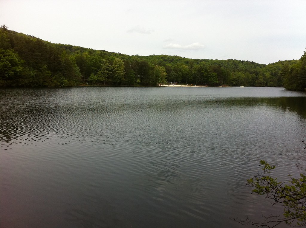 GahutiHiking · ~31 min drivePhoto: TranceMist, CC BY 2.0 (via Flickr)
- Rock CreekHiking · ~28 min drive
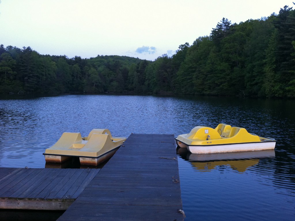 Goldmine Creek TrailHiking · ~31 min drivePhoto: TranceMist, CC BY 2.0 (via Flickr)
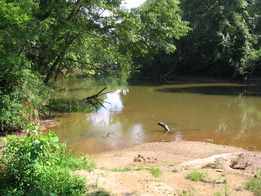 White Trail - Segment #1Hiking · ~34 min drivePhoto: The_Gut, CC BY 2.0 (via Flickr)
- Lake TrailHiking · ~31 min drivePhoto: TranceMist, CC BY 2.0 (via Flickr)
- White Trail - Segment #2Hiking · ~33 min drive
- Big Rock TrailHiking · ~31 min drivePhoto: TranceMist, CC BY 2.0 (via Flickr)
- Rocky Ford TrailHiking · ~33 min drive
- Orange Trail - Segment #2Hiking · ~33 min drivePhoto: The_Gut, CC BY 2.0 (via Flickr)
Best time to visit Highland Trail
Best months: March–November. Best months have typical highs of 55–85 °F, lows of 30 °F or warmer (32 °F where the station doesn't record snow), at most one snowy day and no more than 12 wet days.
Jan
48° / 31°
10 wet · 1 snow
Feb
52° / 34°
9 wet
Mar
60° / 40°
10 wet
Apr
68° / 47°
9 wet
May
75° / 55°
9 wet
Jun
82° / 63°
10 wet
Jul
85° / 67°
11 wet
Aug
84° / 66°
9 wet
Sep
79° / 61°
8 wet
Oct
69° / 50°
8 wet
Nov
59° / 40°
8 wet
Dec
51° / 35°
10 wet
Typical high / low (°F) and days with rain or snow, 1991–2020. Measured at Jasper 1 Nnw, GA, 12 mi away at 1,465 ft. Source: NOAA NCEI U.S. Climate Normals 1991–2020.
Map and trail data © OpenStreetMap contributors
