Primitive Campsite 1
Campground
Campground · 0.9 mi from the trail
Can't Hardly is an easy out-and-back hike in Cloudland Canyon State Park in northwest Georgia, managed by the State Department of Natural Resources. The route is about 2.9 miles long, with a total climb of 363 feet and a high point of 1,835 feet. The steepest stretch comes at about 1.3 miles, where the grade reaches 11 percent. Spring and fall are the most comfortable times to go. Typical averages from a nearby weather station show October highs around 67°F with lows near 51°F, and May highs around 74°F. That station sits about 275 feet higher than the trail, so temperatures on the hike run a little warmer. Barkeater and the Great Eastern Trail - Lookout Mountain both start about 0.1 mile away. The Expert mountain biking trail is 0.4 mile off, and Sitton Gulch Creek, a canoeing spot, is about 2.9 miles away.
Primitive Campsite 1
Campground
Canyon Grill
Restaurant
 If it rainsPub. by Cline Photo Co., Chattanooga. Tenn. "Tichnor Quality Views," Reg. U. S. Pat. Off. Made Only by Tichnor Bros.,..., Public domain · Wikimedia Commons
Ochs Memorial Museum
Museum
Places © OpenStreetMap contributors · Photos: Pub. by Cline Photo Co., Chattanooga. Tenn. "Tichnor Quality Views," Reg. U. S. Pat. Off. Made Only by Tichnor Bros.,..., Public domain (commons)
More in Red BankBest months: March–November. Best months have typical highs of 55–85 °F, lows of 30 °F or warmer (32 °F where the station doesn't record snow), at most one snowy day and no more than 12 wet days.
Jan
46° / 29°
11 wet
Feb
49° / 31°
11 wet
Mar
58° / 39°
11 wet
Apr
68° / 47°
11 wet
May
74° / 57°
11 wet
Jun
81° / 65°
11 wet
Jul
84° / 67°
11 wet
Aug
82° / 67°
10 wet
Sep
78° / 61°
8 wet
Oct
67° / 51°
9 wet
Nov
57° / 40°
9 wet
Dec
48° / 32°
11 wet
Typical high / low (°F) and days with rain or snow, 1991–2020. Measured at Lookout Mtn-Point Park, TN, 14.2 mi away at 2,110 ft. This station doesn't record snowfall. Source: NOAA NCEI U.S. Climate Normals 1991–2020.
 Photo: The_Gut, CC BY 2.0 (via Flickr)
Bear Creek Backcountry Trail
~2 min drive
9.06-mile out-and-back hike in Georgia with 2,137 ft elevation gain.
 Photo: pseabolt, CC BY 3.0 (via Wikimedia Commons)
Overlook Trail
~2 min drive
Short out-and-back trail to a scenic Georgia overlook.
 Photo: David Dugan, CC BY-SA 3.0 (via Wikimedia Commons)
Pocket Loop Trail
~17 min drive
8.37-mile loop in Georgia with 1,787 ft elevation gain and loss.
 Photo: pseabolt, CC BY 3.0 (via Wikimedia Commons)
Sitton's Gulch Trail
~3 min drive
3.88-mile out-and-back trail in Georgia with 1,590 ft elevation gain.
Photo: The_Gut, CC BY 2.0 (via Flickr)Meadowlands Trail
~2 min drive
1.12-mile out-and-back trail in Georgia with 234 ft elevation gain
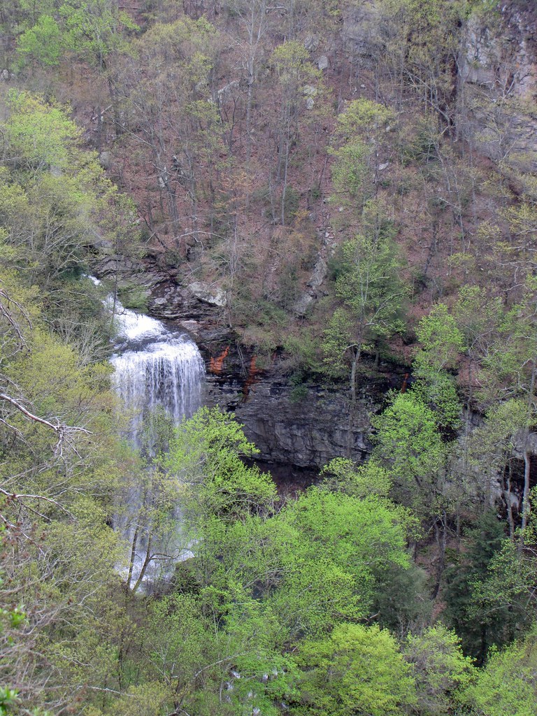 Photo: The_Gut, CC BY 2.0 (via Flickr)
West Rim Loop Trail
~3 min drive
3.41-mile out-and-back trail in Georgia with 997 ft gain.
 Photo: pseabolt, CC BY 3.0 (via Wikimedia Commons)
Cloudland Canyon
~2 min drive
1.56-mile point-to-point trail in Georgia with 128 ft elevation gain.
HIKE
John Smartt Trail
~19 min drive
1.84-mile out-and-back trail in Georgia with 1,583 ft gain.
Photo: The_Gut, CC BY 2.0 (via Flickr)Two-Mile Backcountry Trail
~3 min drive
1.80-mile loop in Georgia with 243 ft elevation gain.
HIKE
Jackson Gap Trail
~19 min drive
0.87-mile out-and-back trail in Georgia with 142 ft of elevation gain.
Map and trail data © OpenStreetMap contributors

